Oceanus Summer 2026 — Actual Cruise
Voyage Overview
This is the completed Summer 2026 voyage of S/V Oceanus, updated from the original 32-day planning itinerary to reflect the stops actually made. The five-week cruise covered 492 nautical miles based on the final Navionics route. The cruise was overwhelmingly an anchoring trip: only five nights were spent at docks.
| # | Stop | Approx. Leg | How We Stayed / Notes |
|---|---|---|---|
| Start | Gig Harbor | — nm | Anchored / departure |
| 1 | Port Ludlow | 32 nm | Anchored |
| 2 | Spencer Spit | ~30 nm | Anchored |
| 3 | Reid Harbor | ~18 nm | Anchored |
| 4 | Roche Harbor | ~4 nm | Dock — 1 night (northbound) |
| 5 | Van Isle / Sidney area | ~17 nm | Anchored / customs stop |
| 6 | Montague Harbour North | ~16 nm | Anchored — favorite beaches |
| 7 | Nanaimo | ~30 nm | Dock — 2 nights |
| 8 | Pender Harbour / Garden Bay | ~31 nm | Anchored — weather hold |
| 9 | Refuge Cove | ~46 nm | Anchored |
| 10 | Squirrel Cove | ~4 nm | Anchored |
| 11 | Refuge Cove | ~4 nm | Anchored |
| 12 | Grace Harbour — Desolation Sound | ~7 nm | Anchored |
| 13 | Melanie Cove — Desolation Sound | ~5 nm | Anchored — cruise highlight |
| 14 | Pender Harbour | ~50 nm | Anchored |
| 15 | Nanaimo | ~31 nm | Anchored |
| 16 | Montague Harbour North | ~30 nm | Anchored — returned for the beaches |
| 17 | Roche Harbor | ~21 nm | Dock — 1 night (southbound) |
| 18 | Spencer Spit | ~16 nm | Anchored |
| 19 | Port Ludlow | ~30 nm | Anchored |
| 20 | Kingston | ~28 nm | Dock — 1 night |
| 21 | Blake Island | ~22 nm | Anchored |
| Finish | Gig Harbor | ~20 nm | Home |
Individual leg mileages are approximate route-planning values. The authoritative completed-voyage total is 492 nautical miles from Navionics.
Oceanus remained anchored in Pender Harbour while waiting for a suitable weather window before continuing north toward Refuge Cove and Desolation Sound. The schedule gave way to conditions — exactly the flexibility the five-week cruise allowed.
Pender Harbour — Photo Gallery
These photos are from our return trip, when Oceanus stopped again in Pender Harbour on the way south.
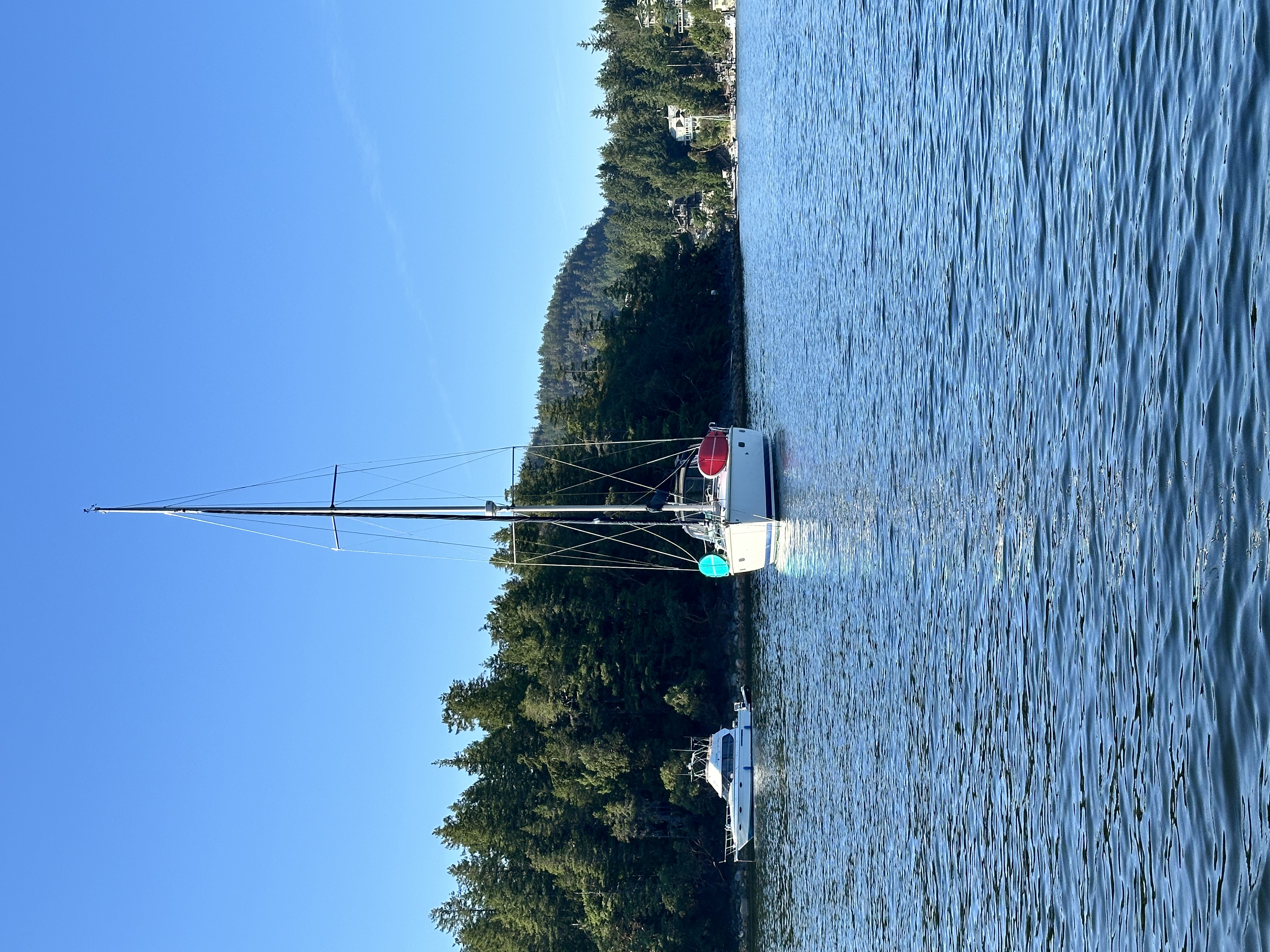
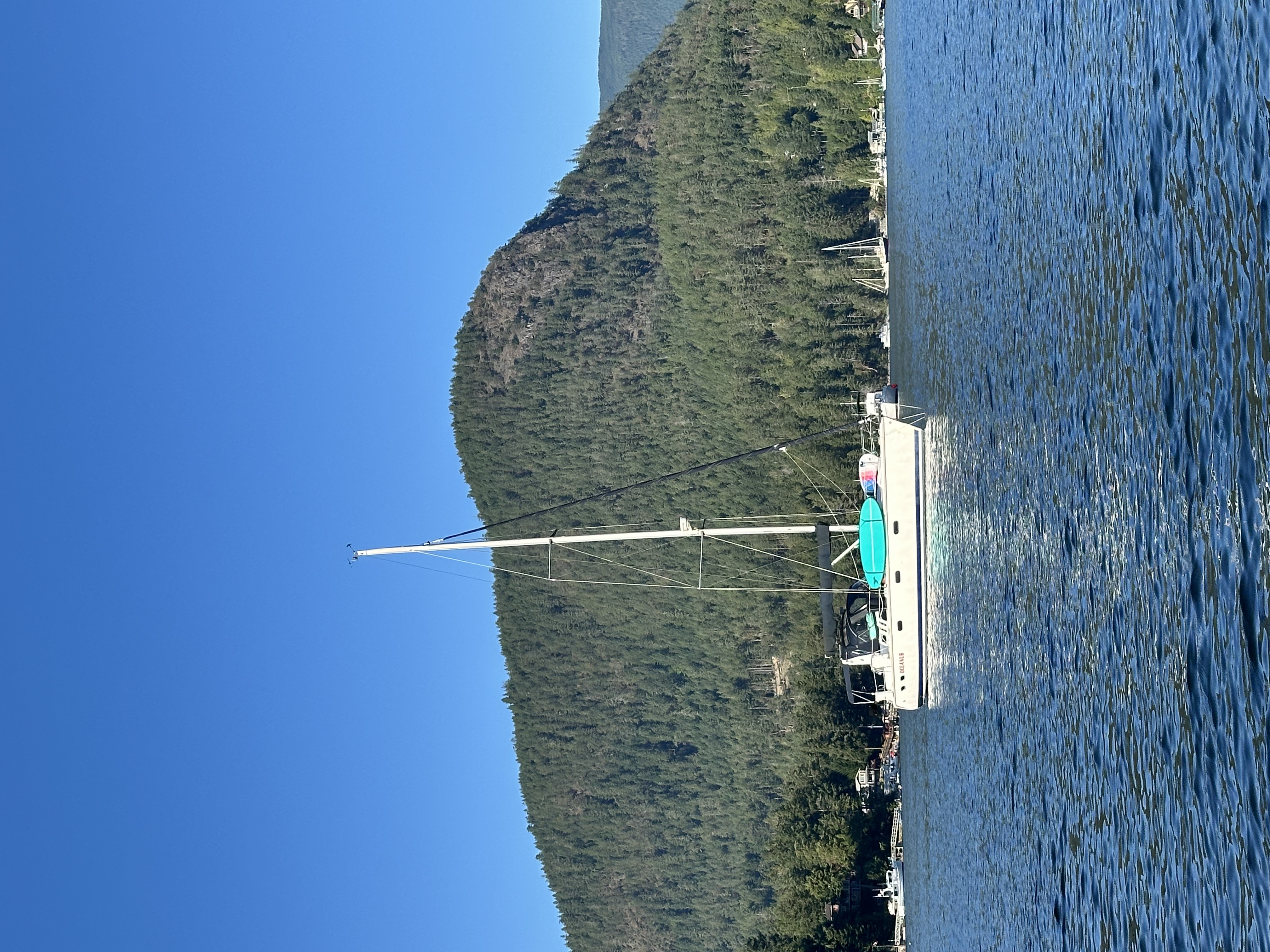
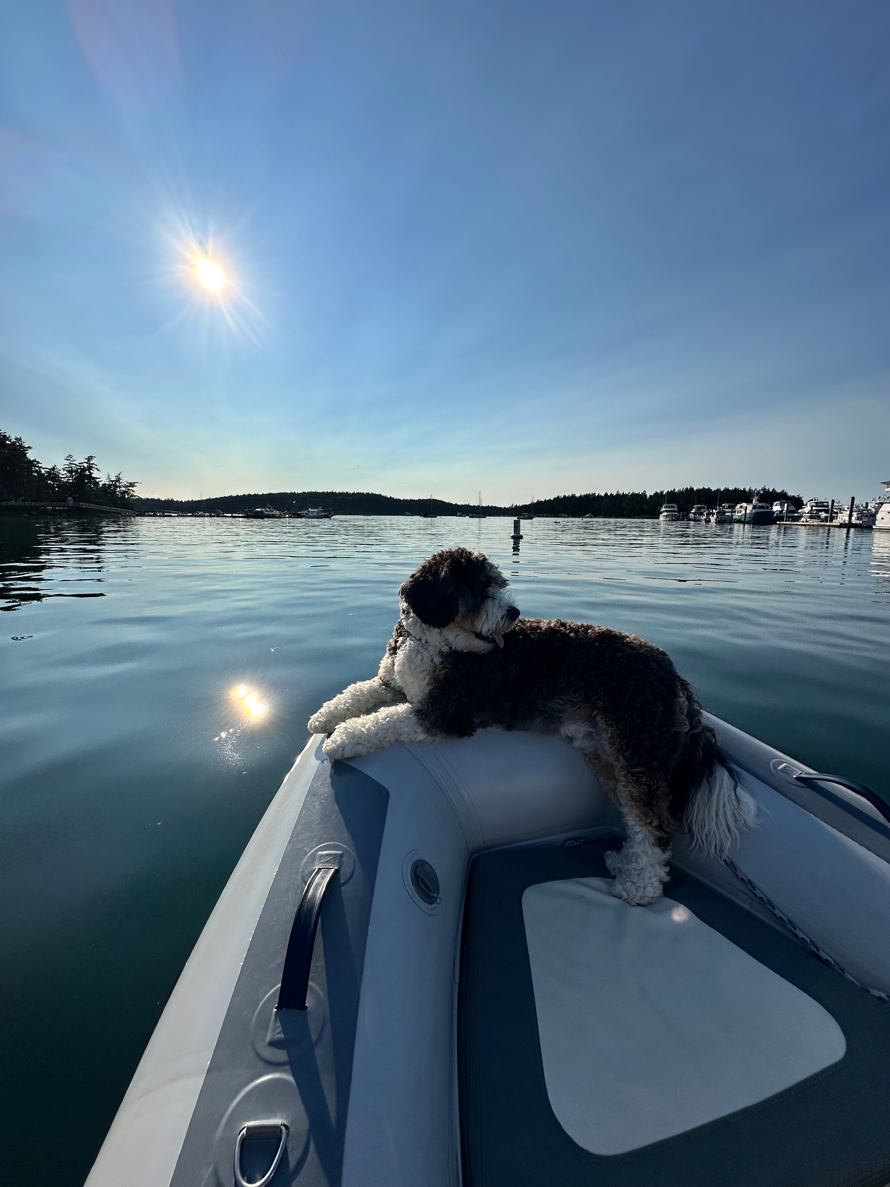
🏖️ Montague Harbour North
- One of our favorite beach stops on the cruise.
- We enjoyed it enough to make Montague Harbour North a stop in both directions.
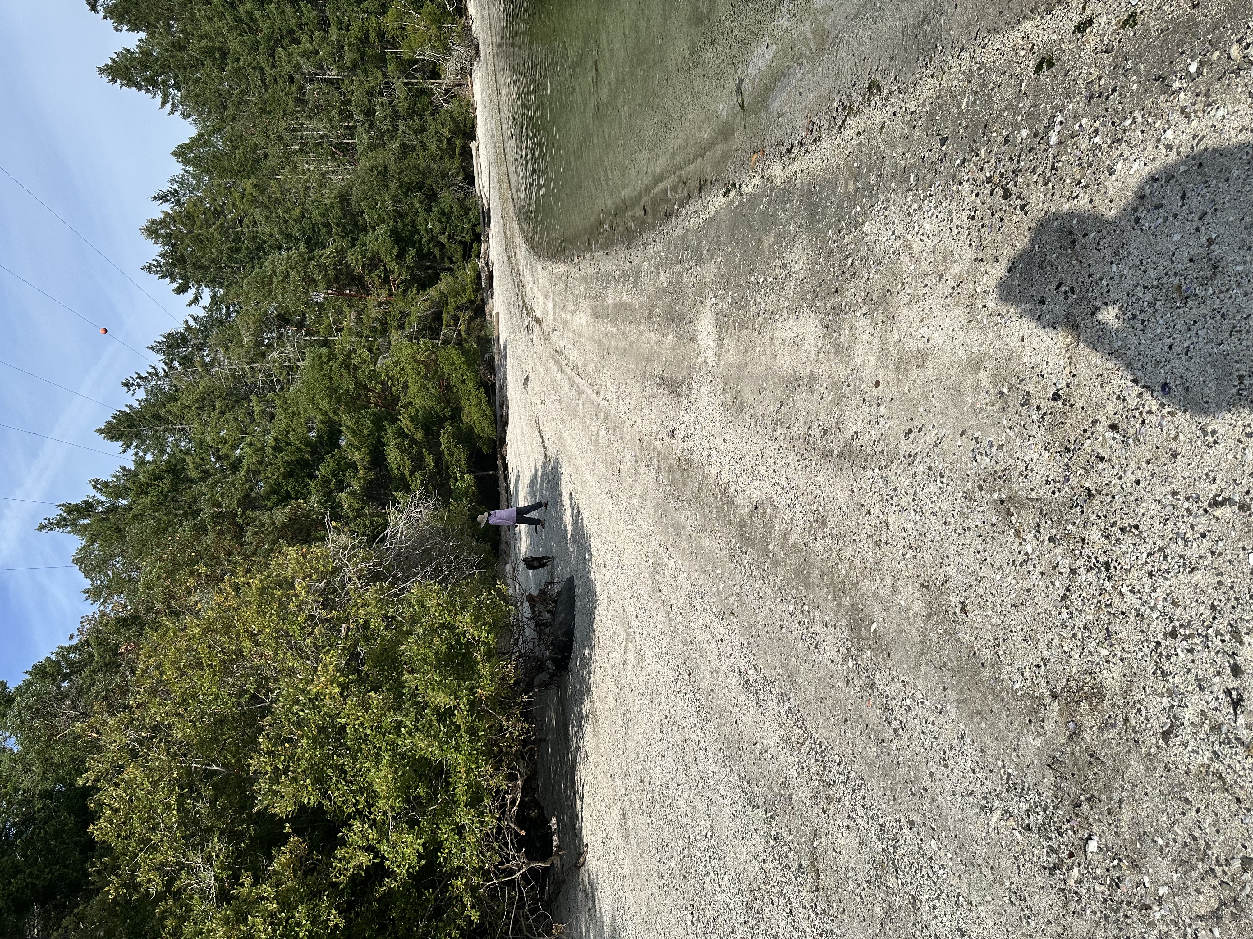
- The north side is known for its distinctive white shell beach and sheltered waters.
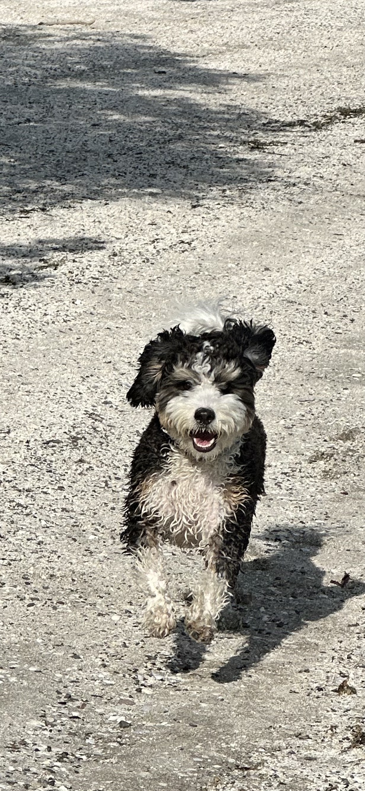
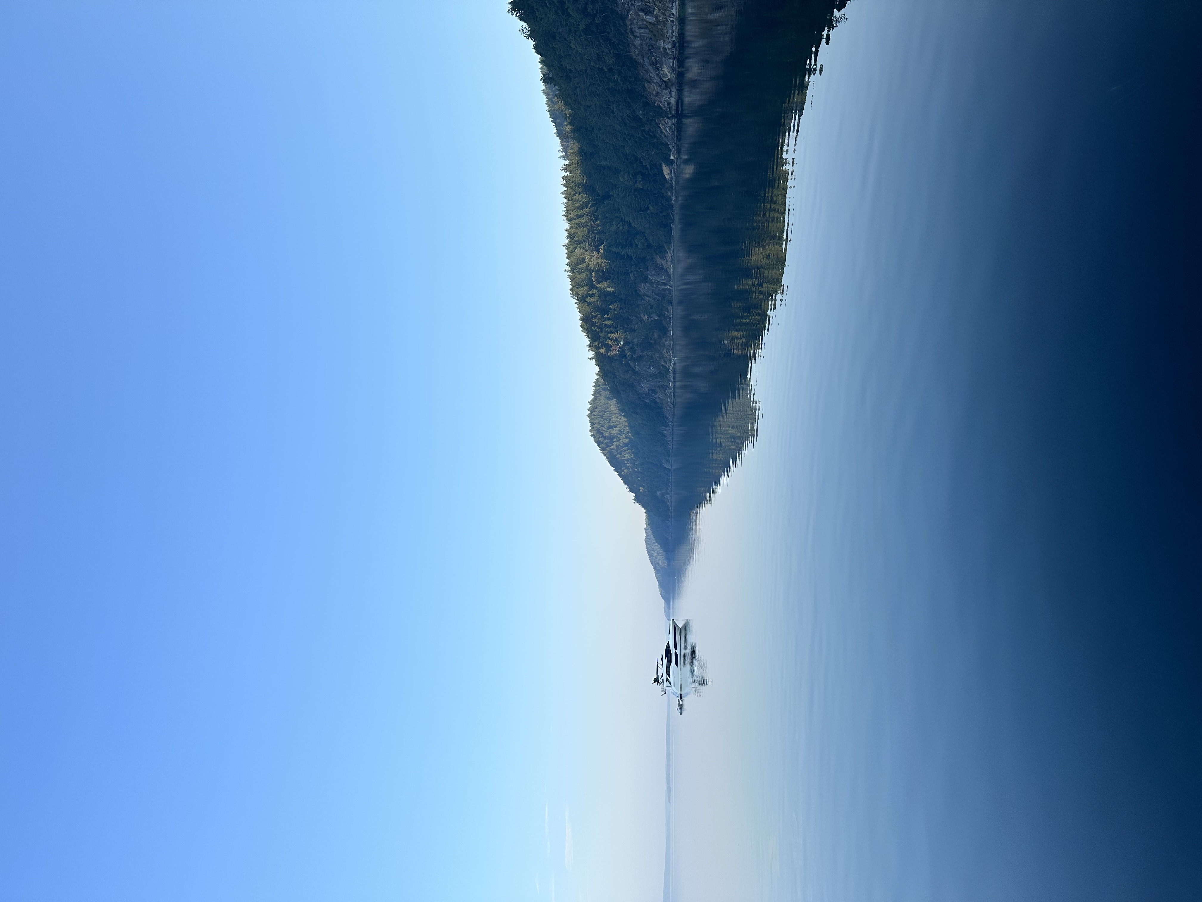
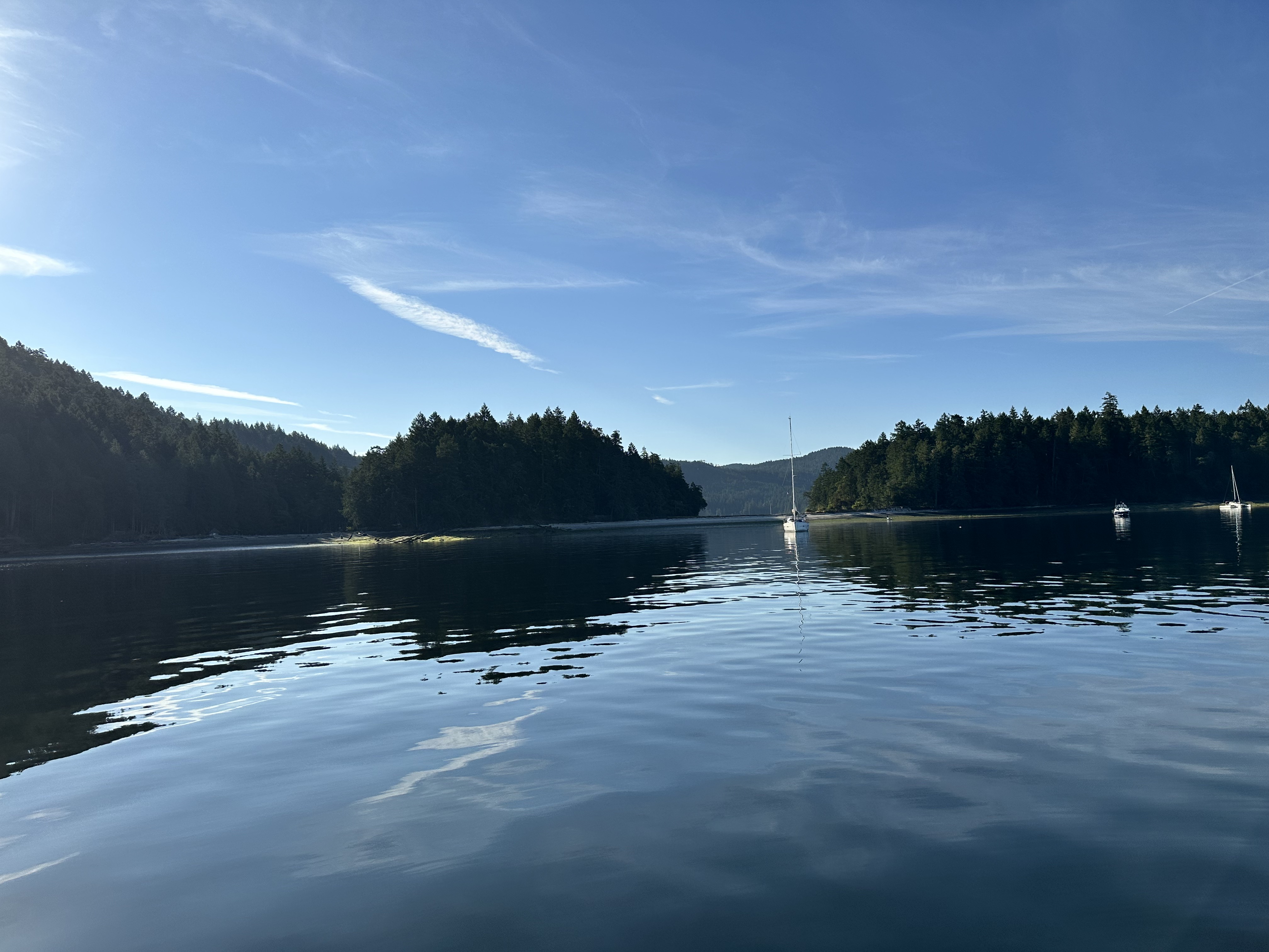
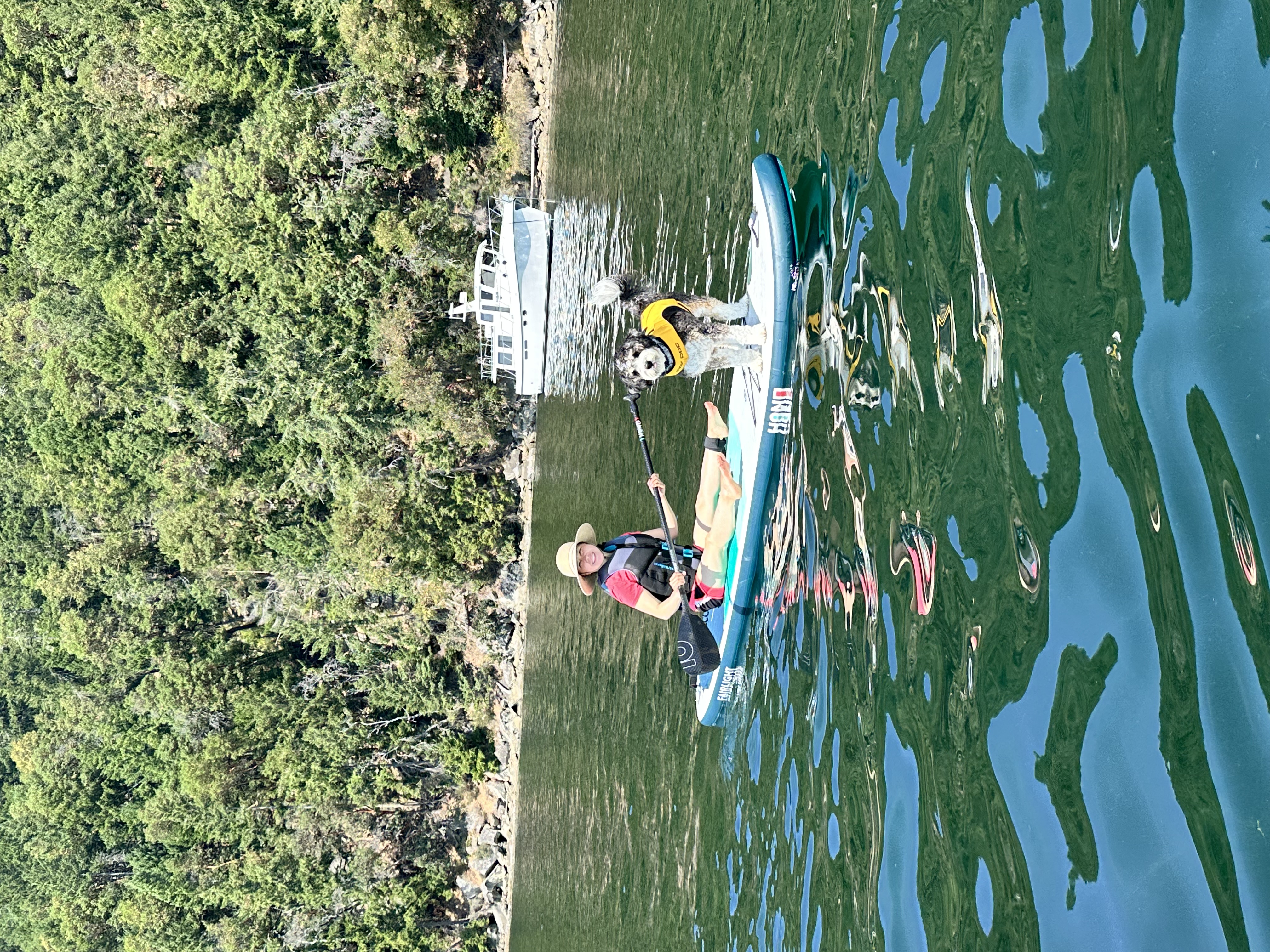
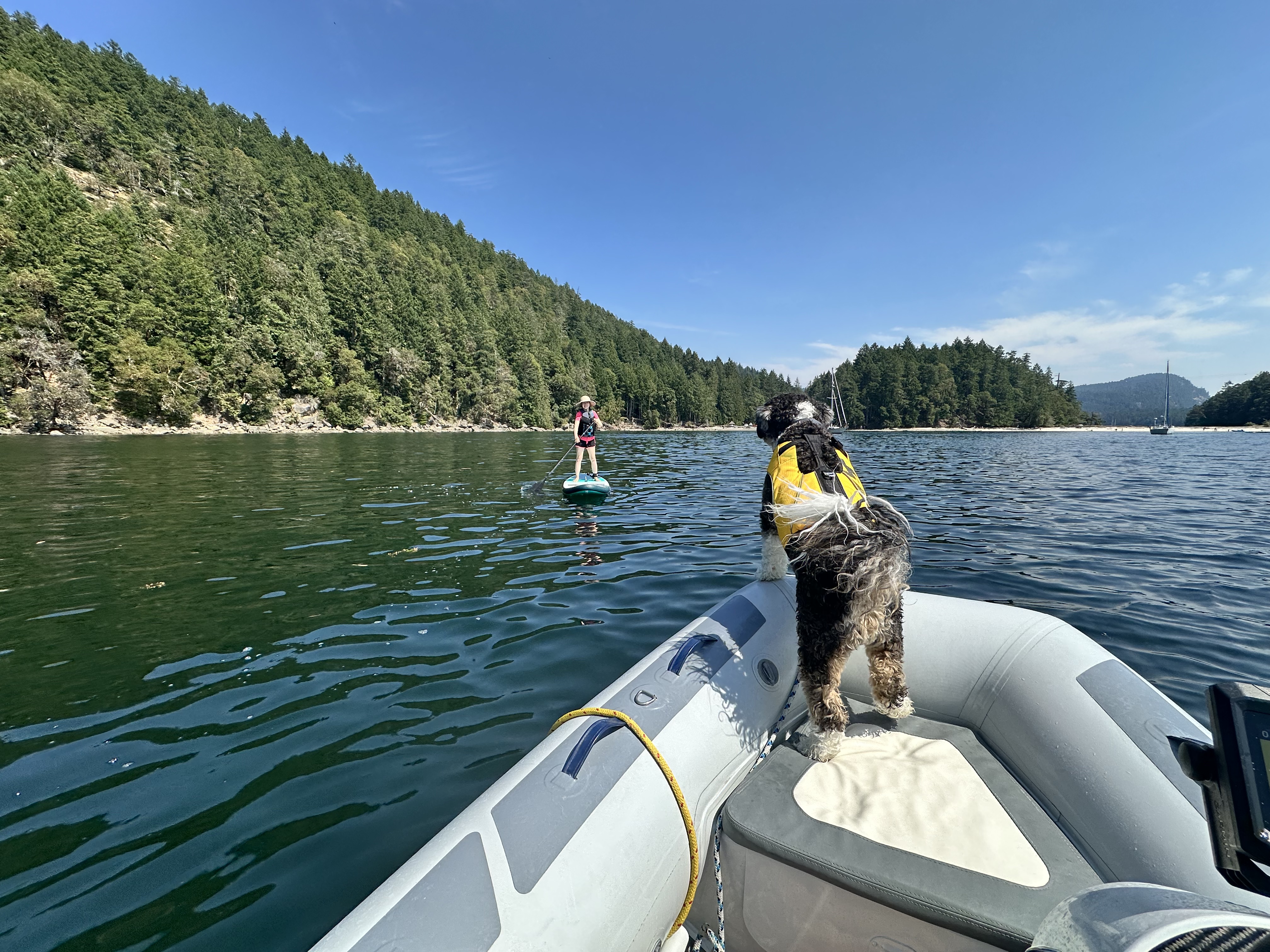
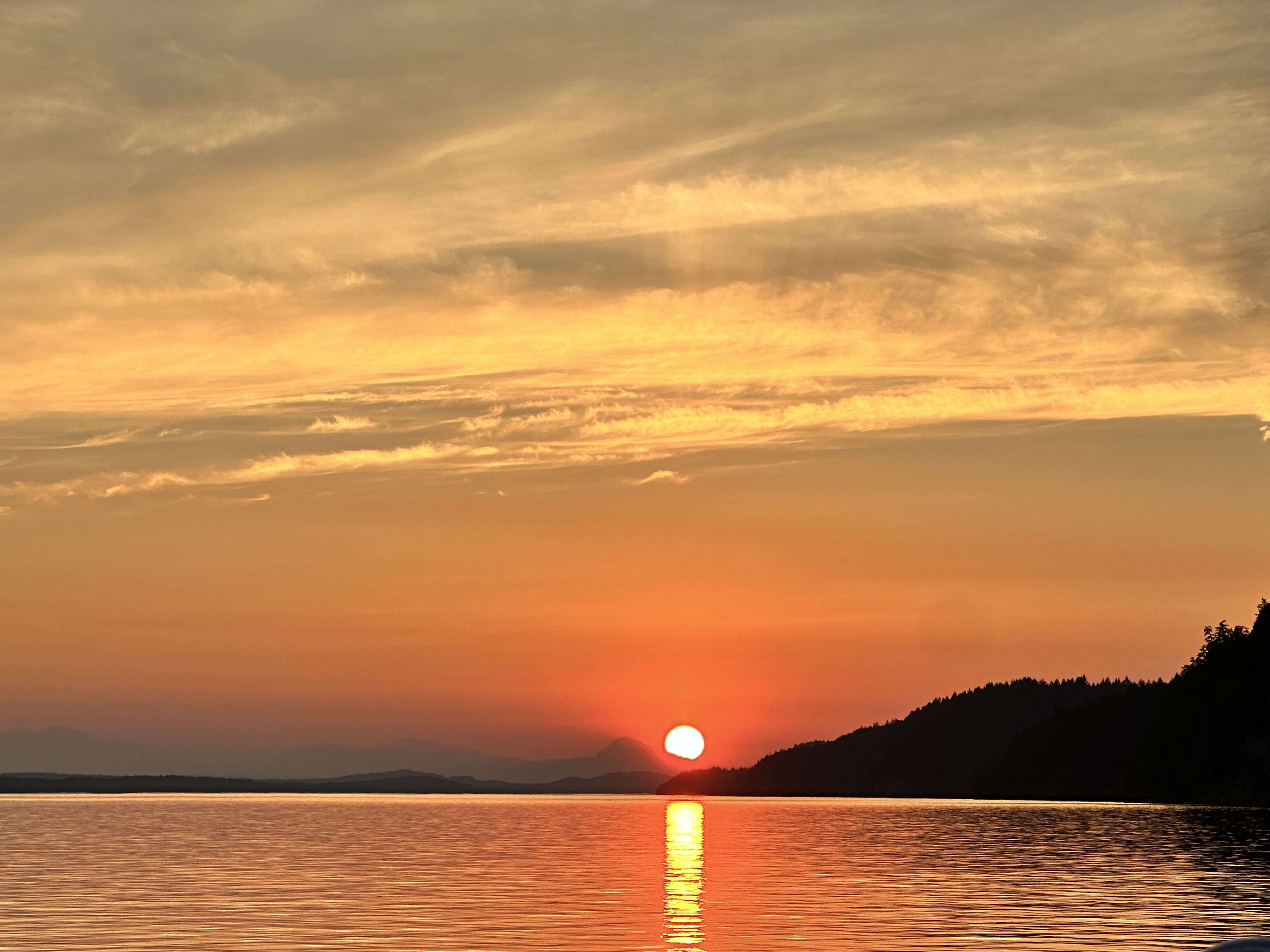
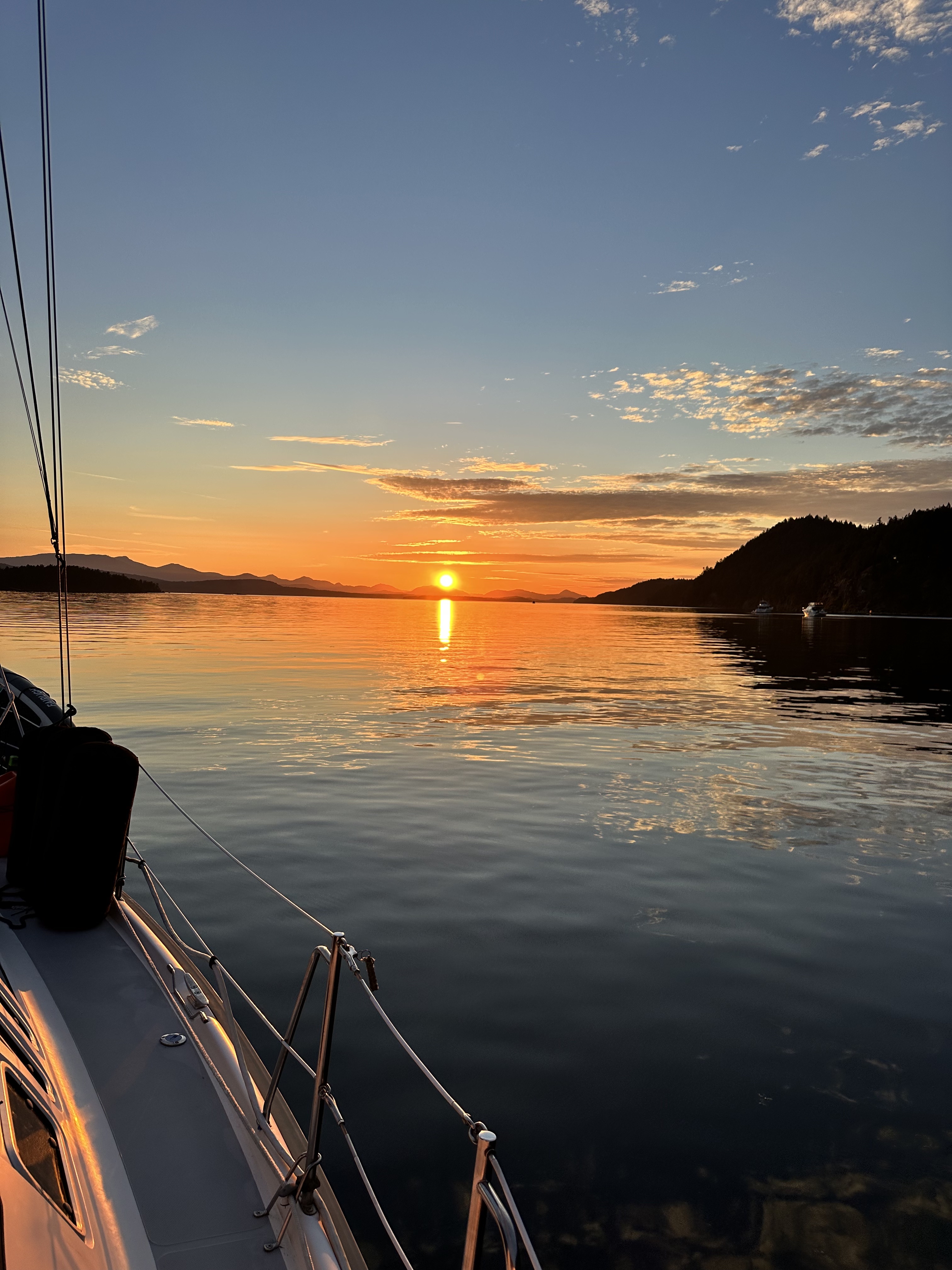
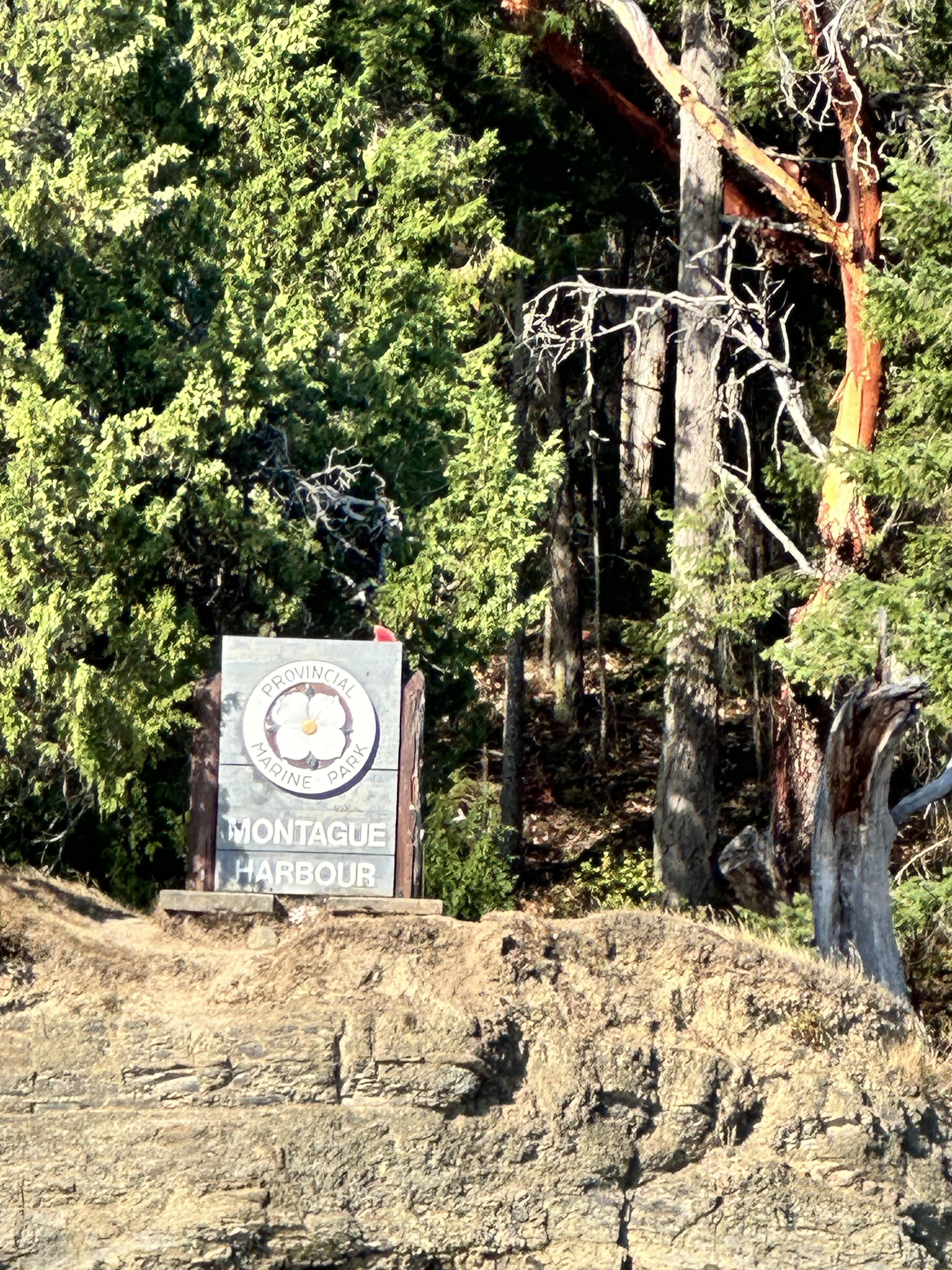
Montague Harbour North — Photo Gallery
Favorite scenes from the north anchorage, beach, paddling and sunset.
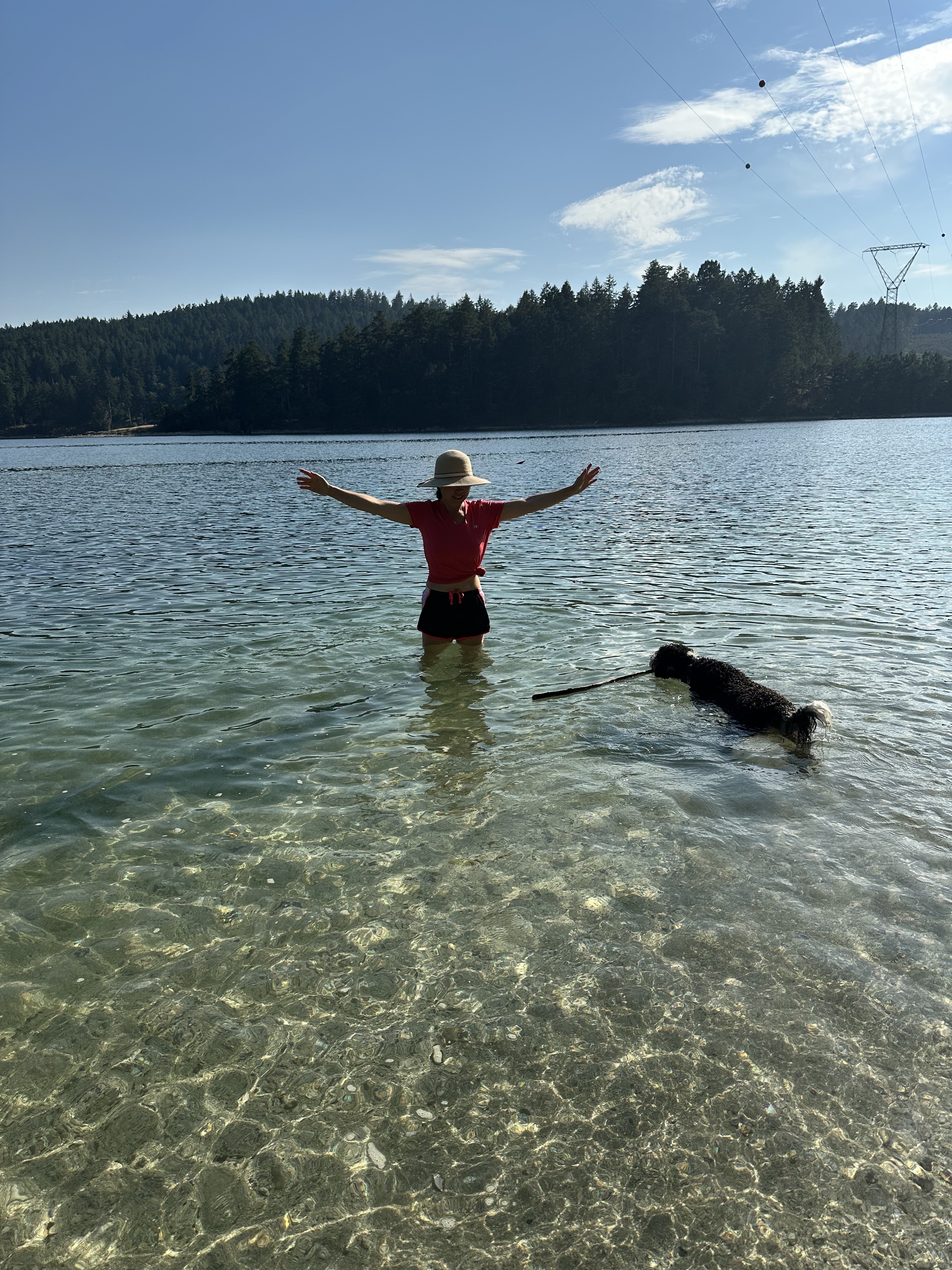
Montague Harbour — Beach & Shadow Videos
Three clips from our time at Montague Harbour North, including Shadow swimming and enjoying the beach.
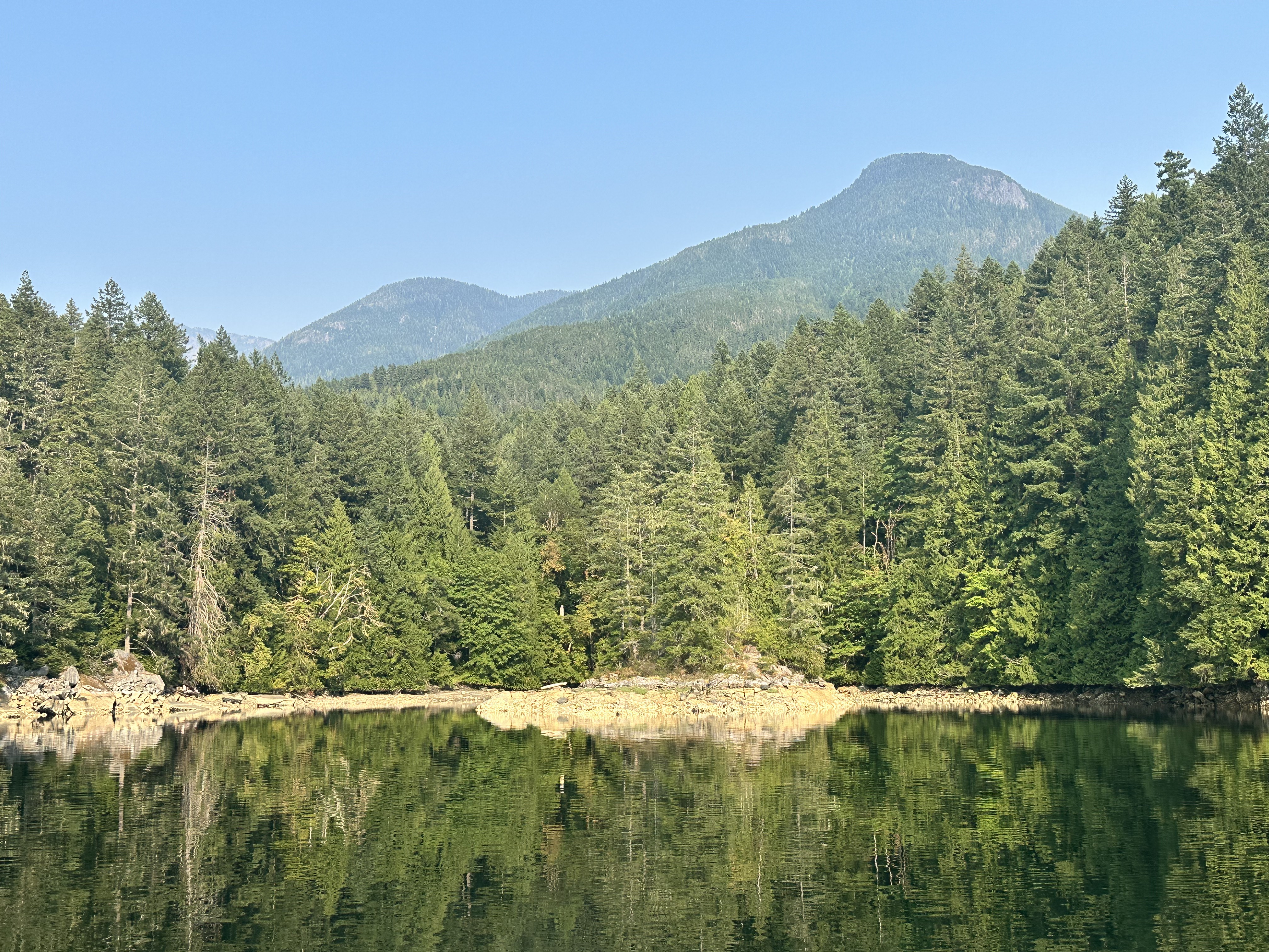
⚓ Melanie Cove — A Favorite Anchorage
- One of the standout anchorages of the entire five-week cruise.
- We worked Oceanus all the way inside Melanie Cove.
- We were the last boat in, with an amazing spot directly across from the beach.
- The protected, intimate setting and beach made this one of our favorite places of the trip.
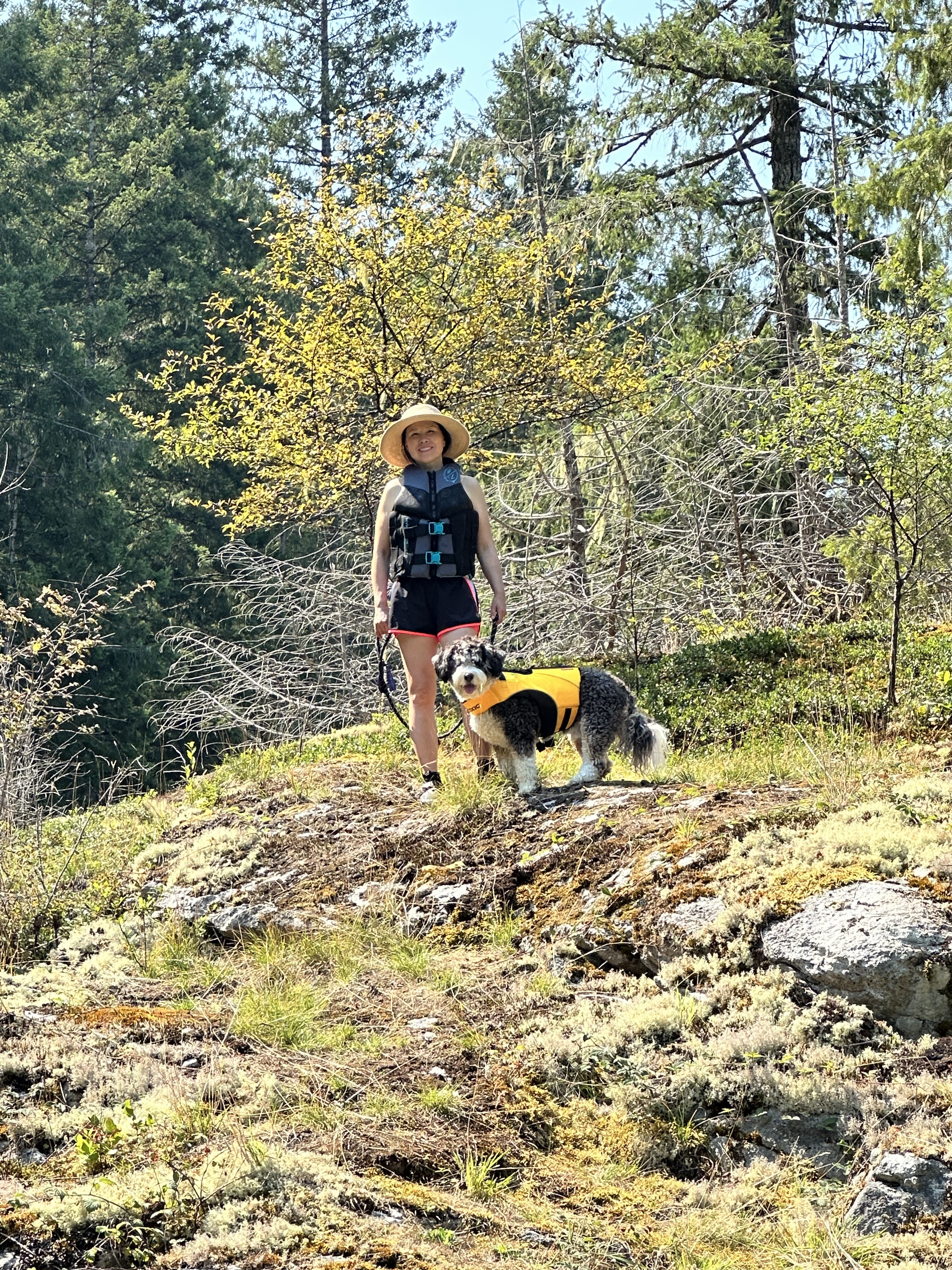
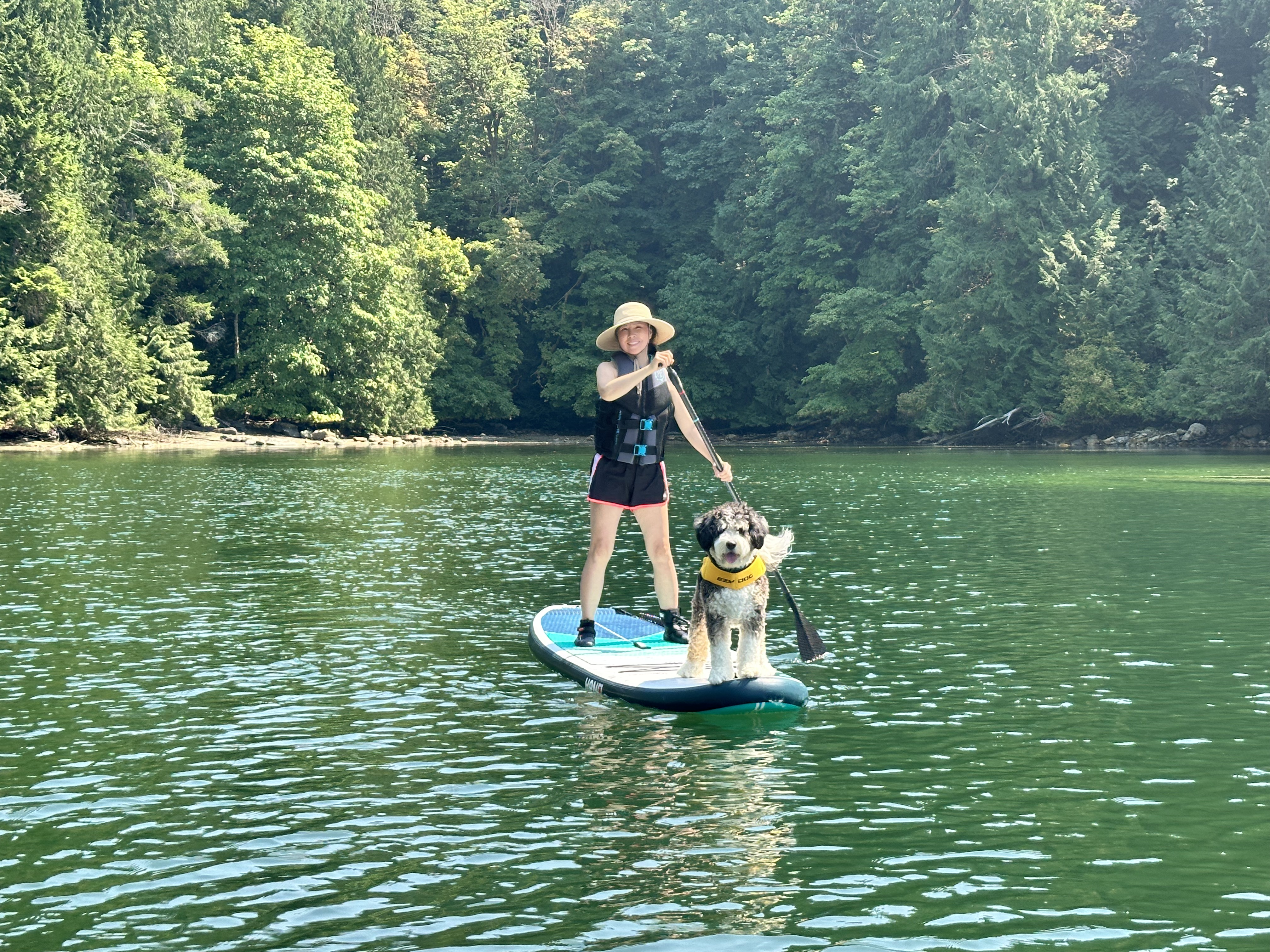
Melanie Cove — Photo Gallery
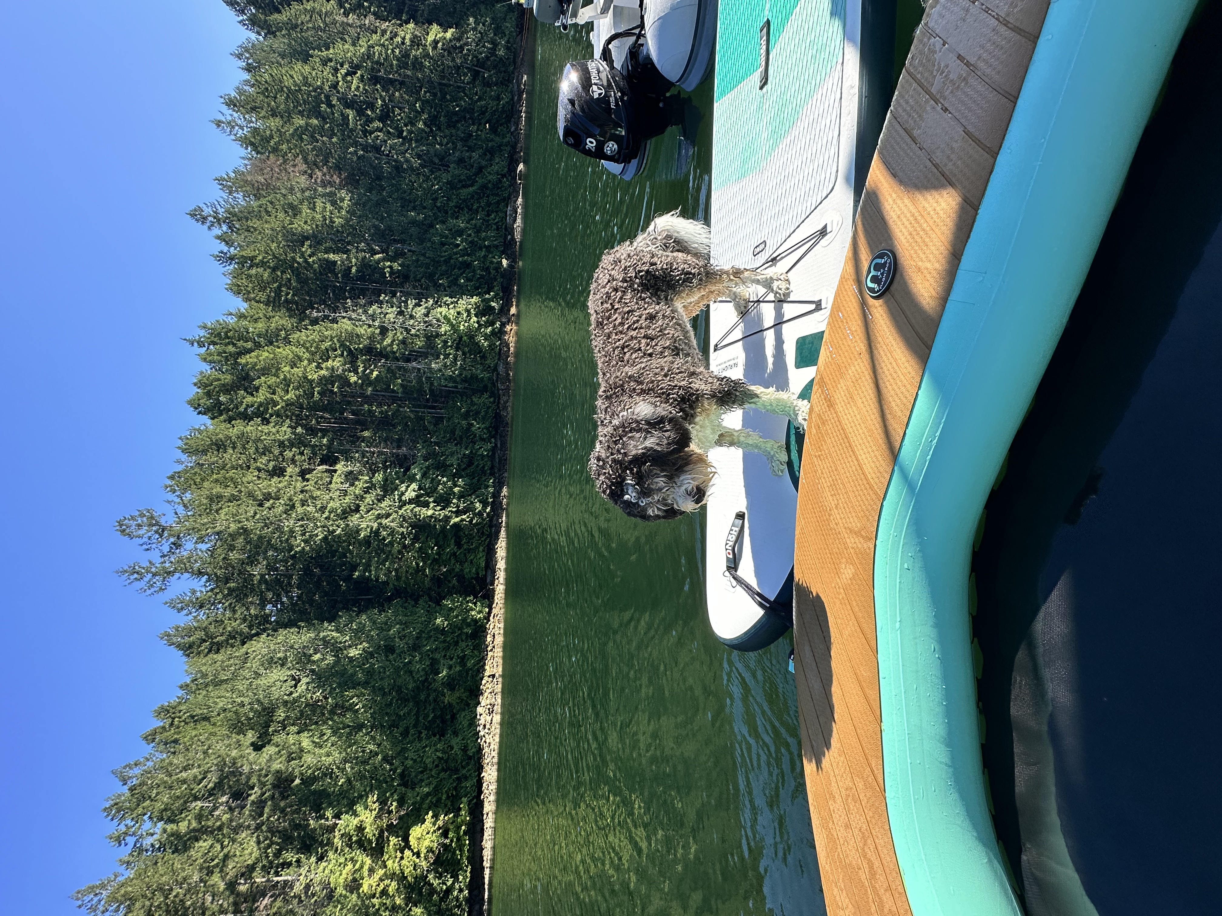
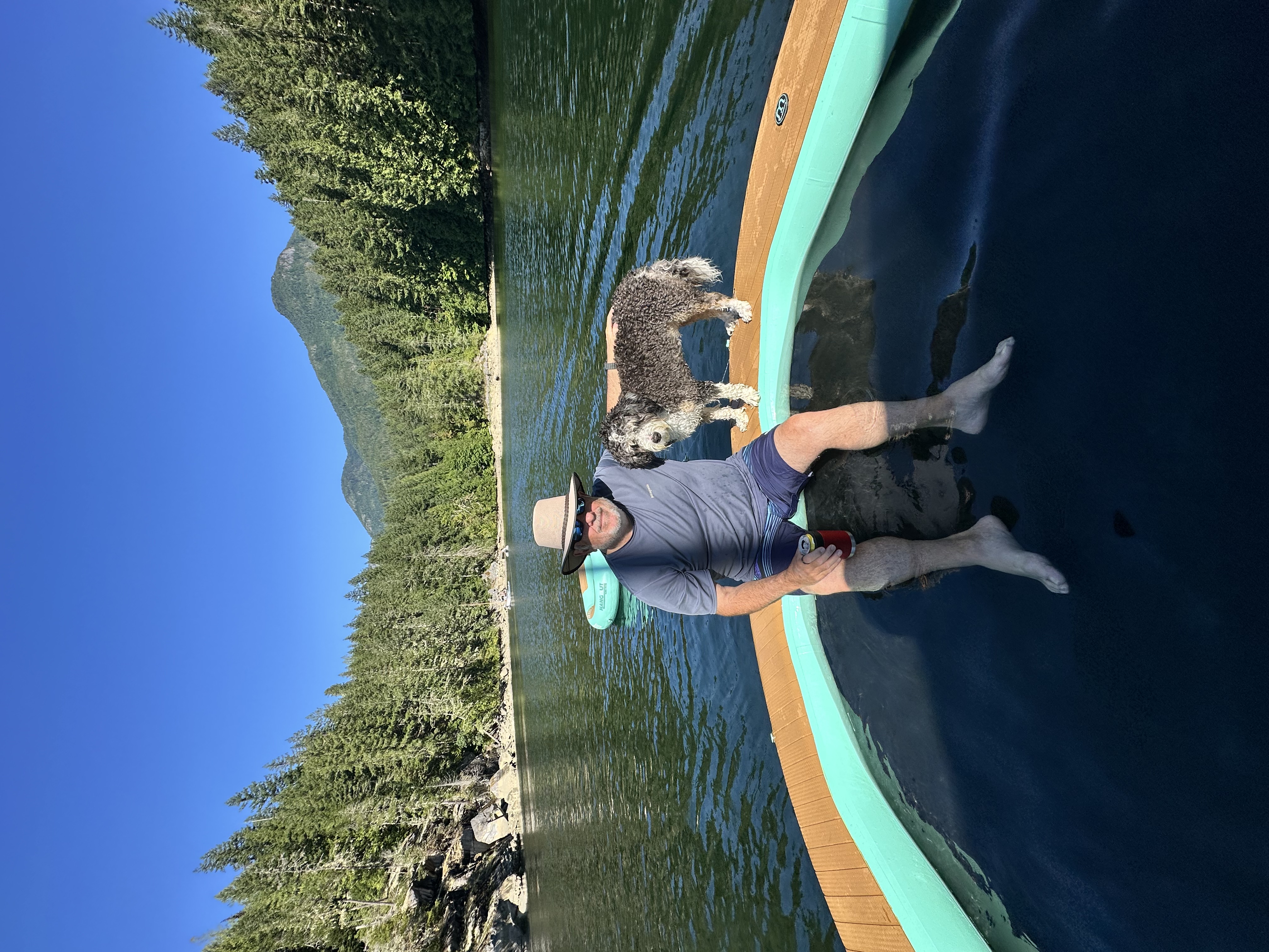
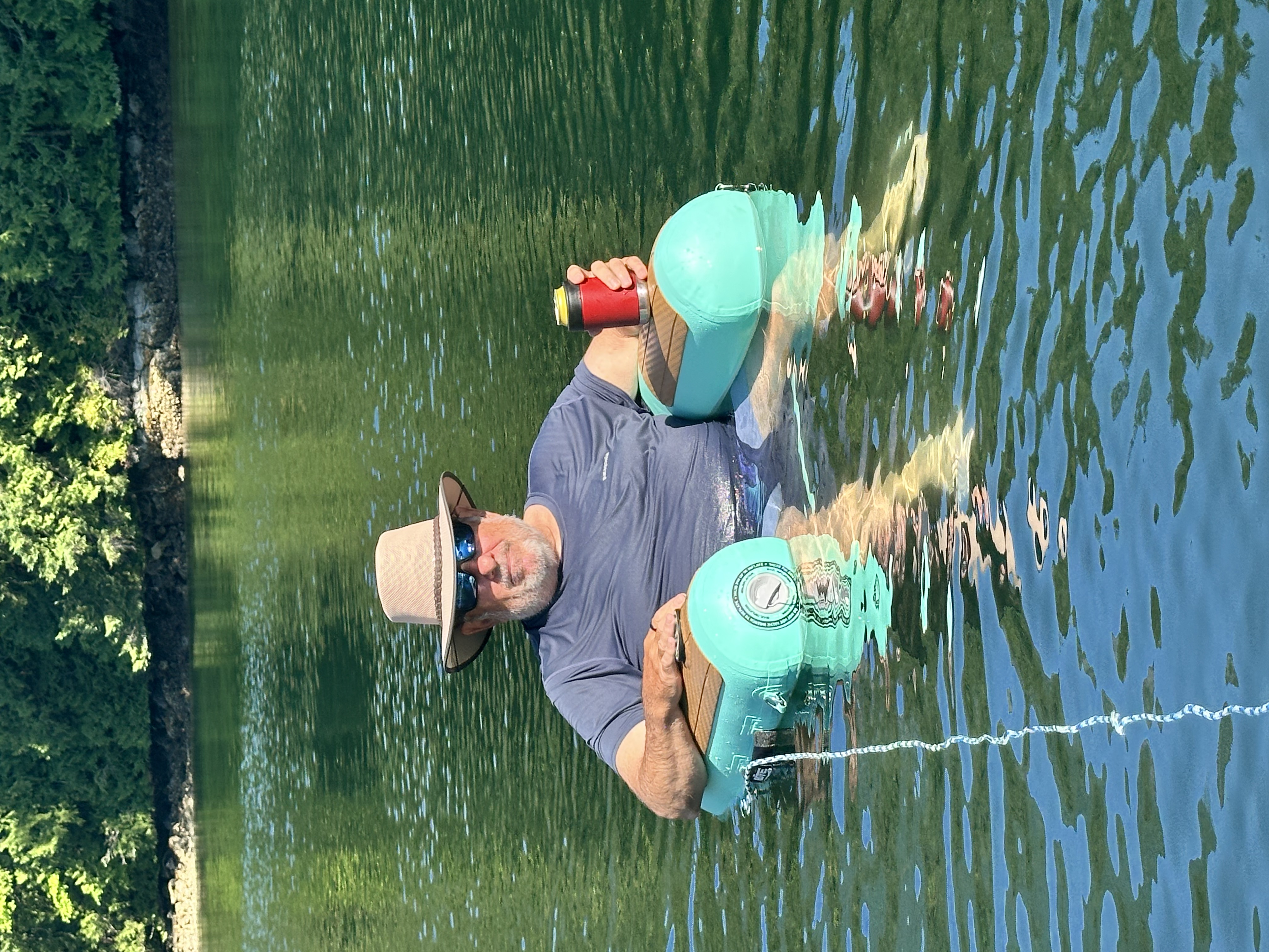
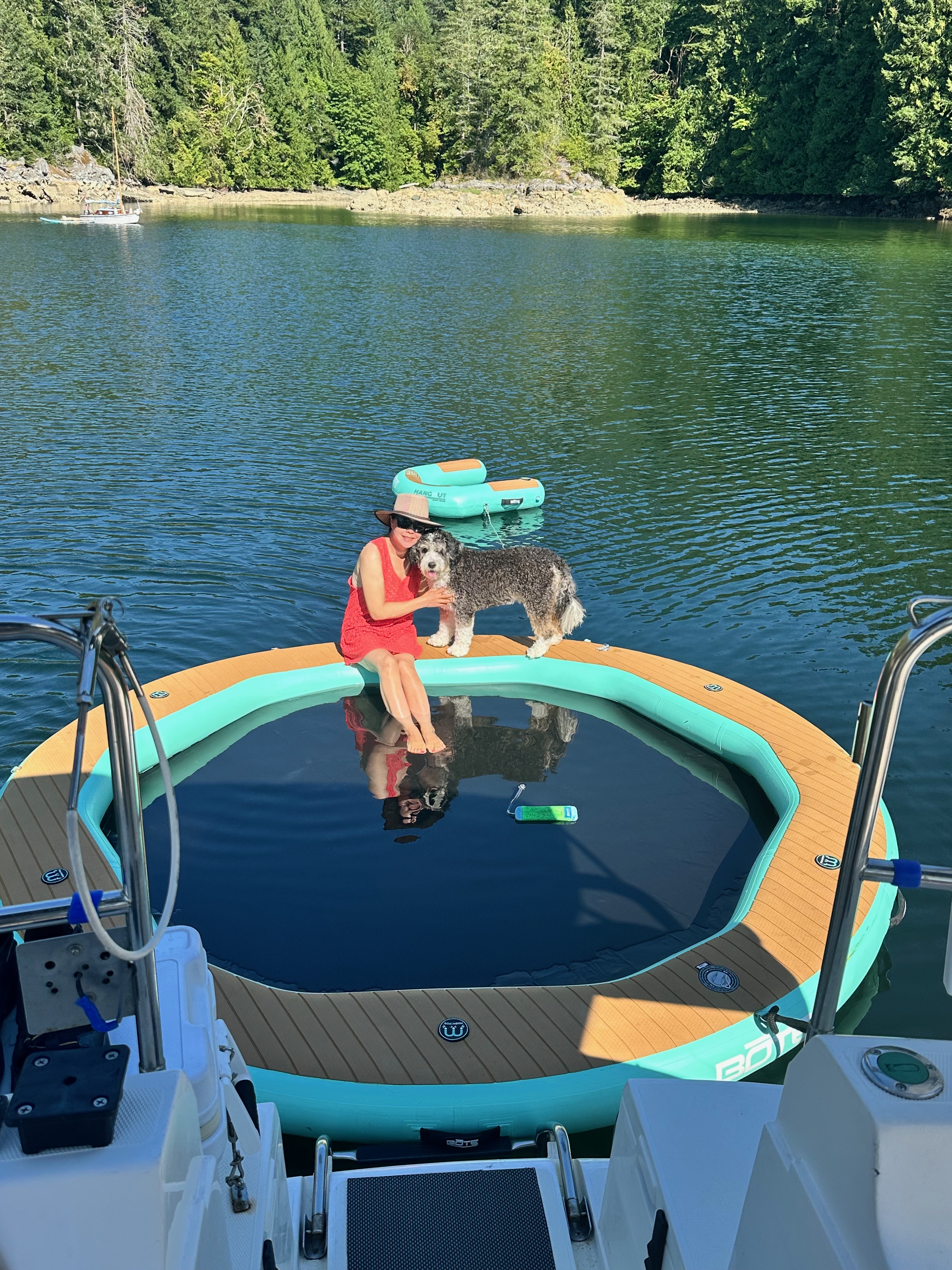
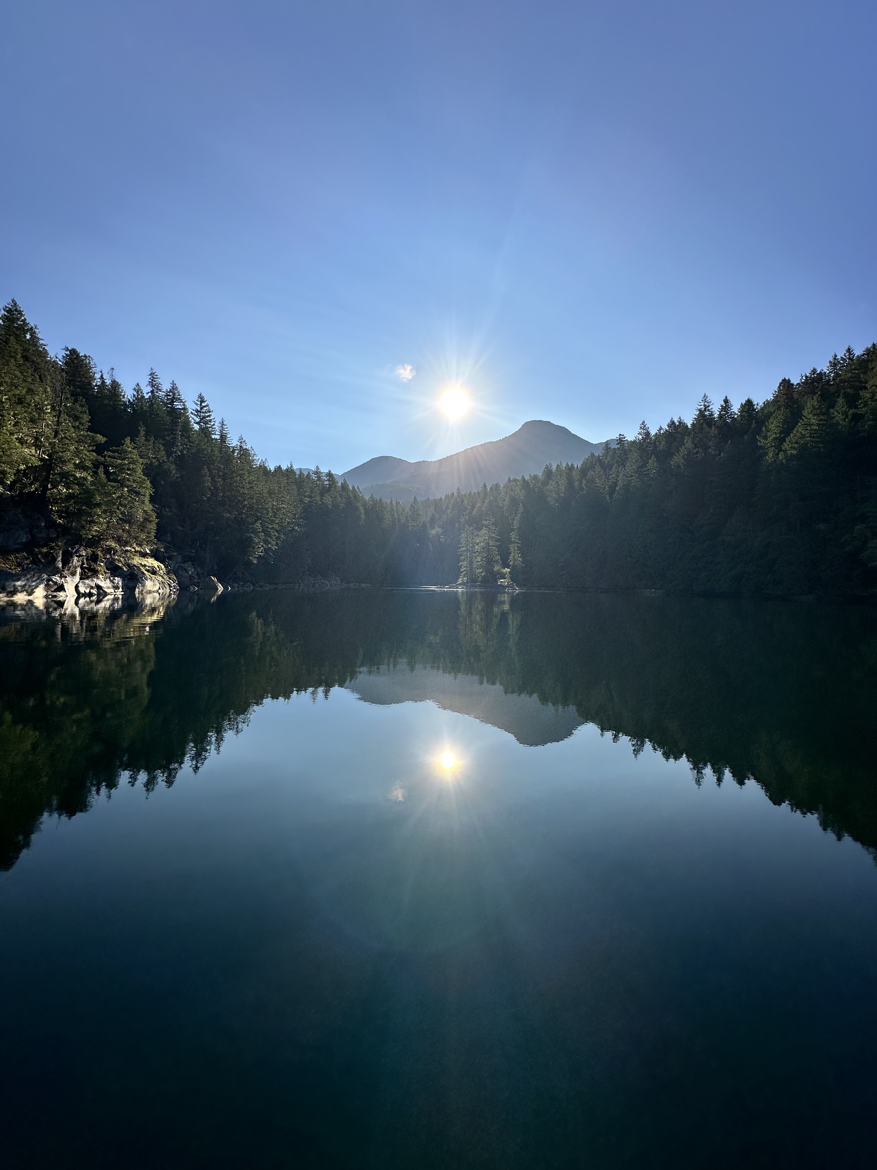
Scenes from one of the standout anchorages of the cruise: exploring, playtime and quiet water with Shadow.
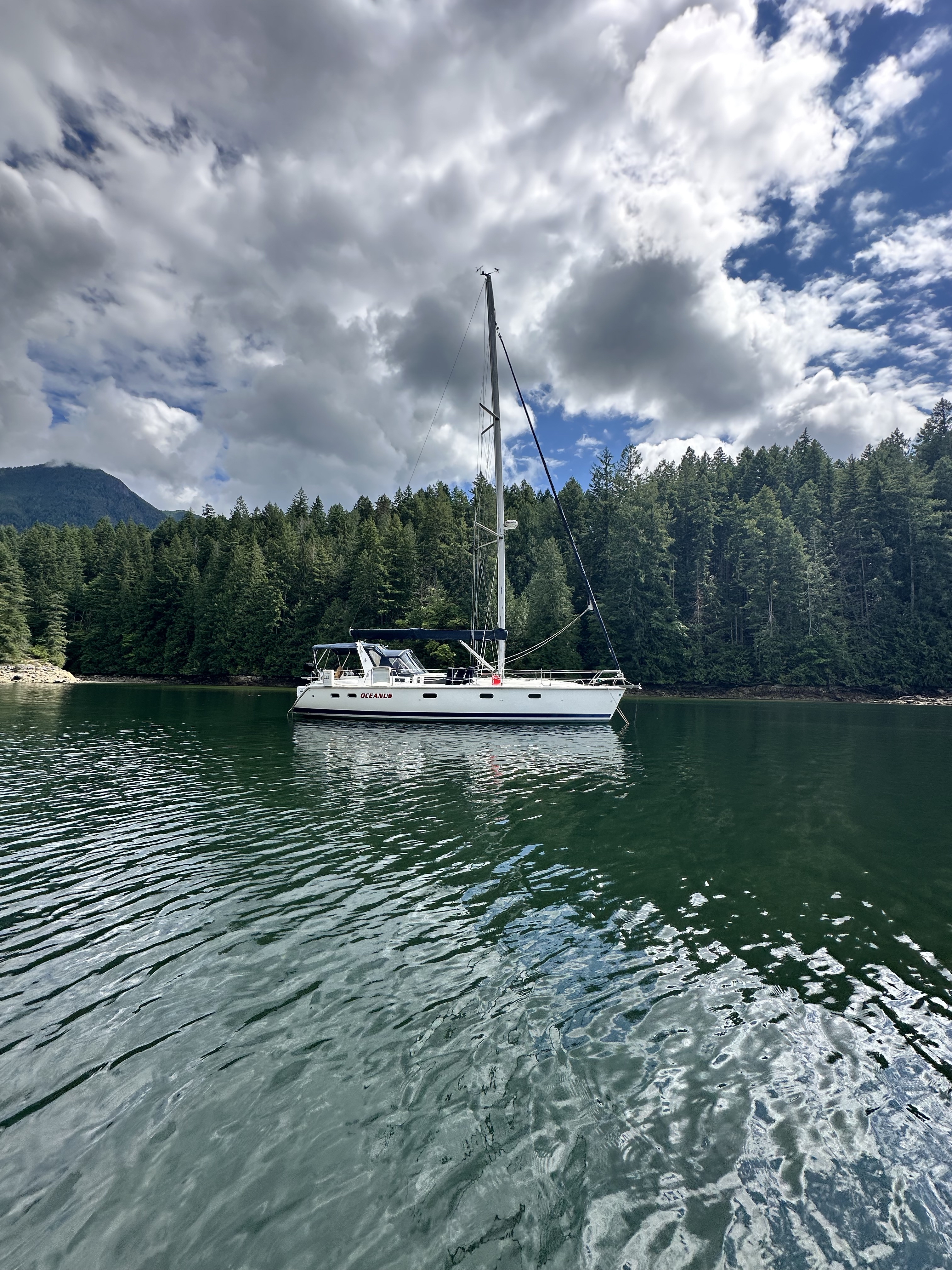
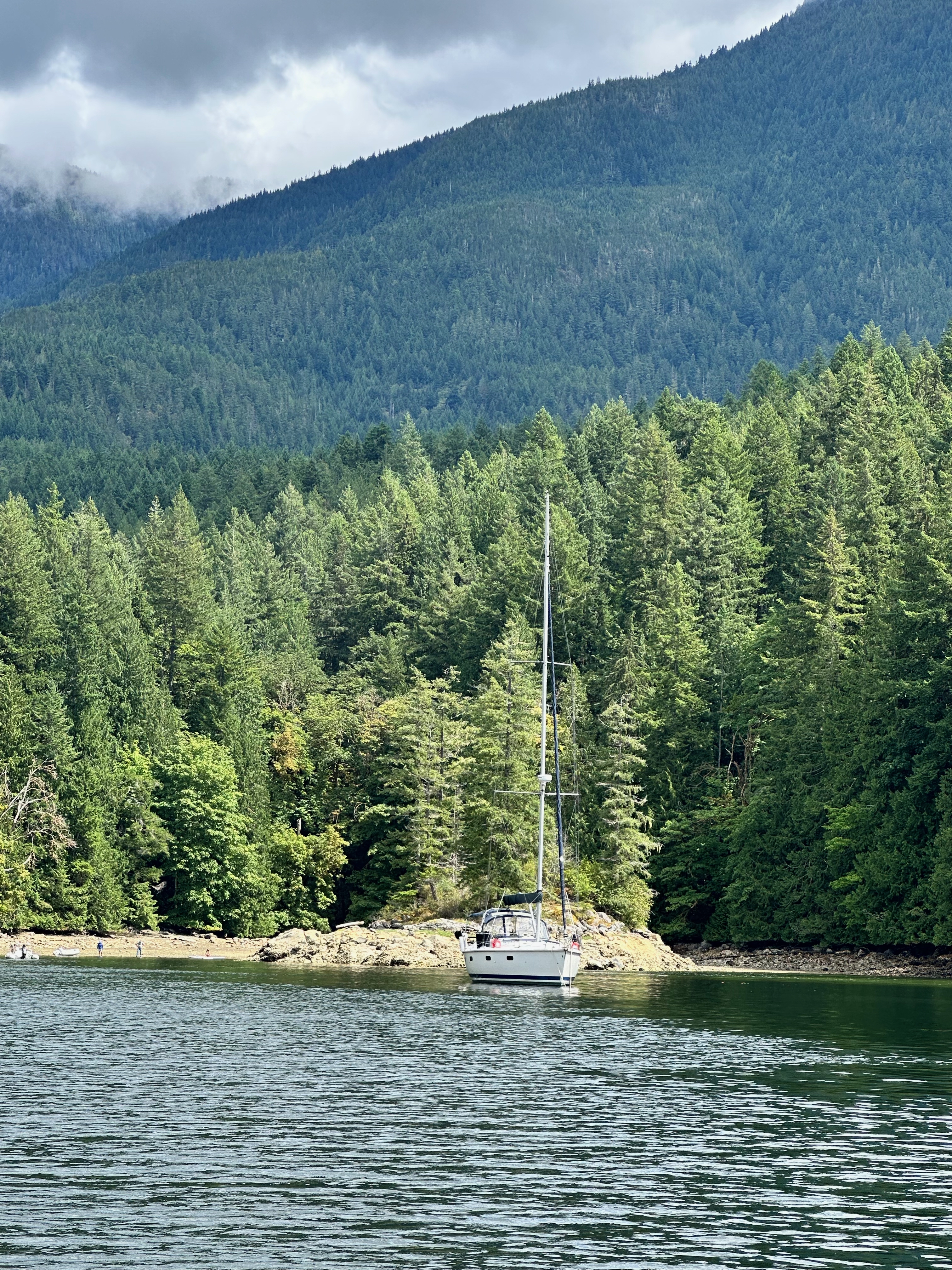
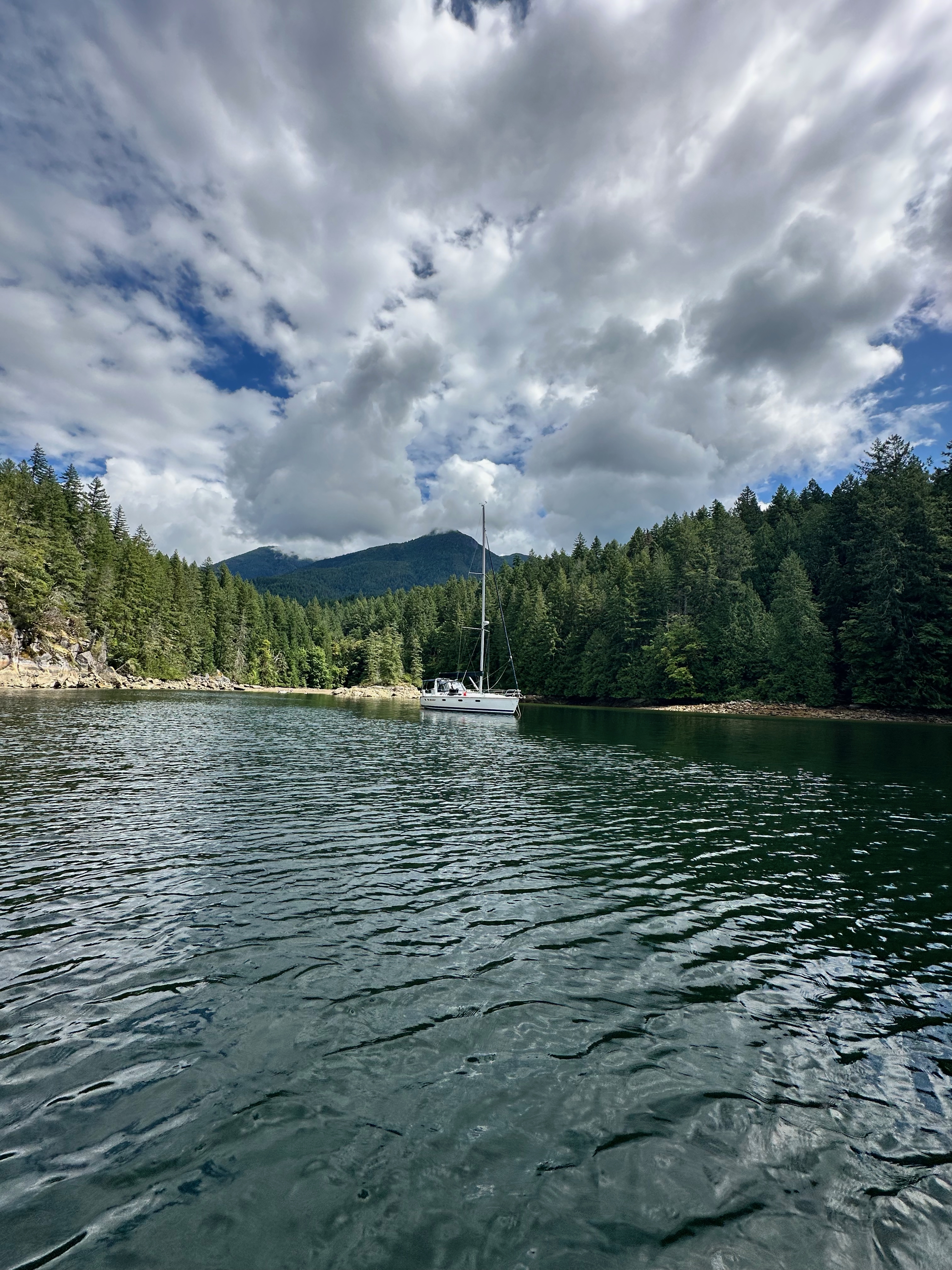
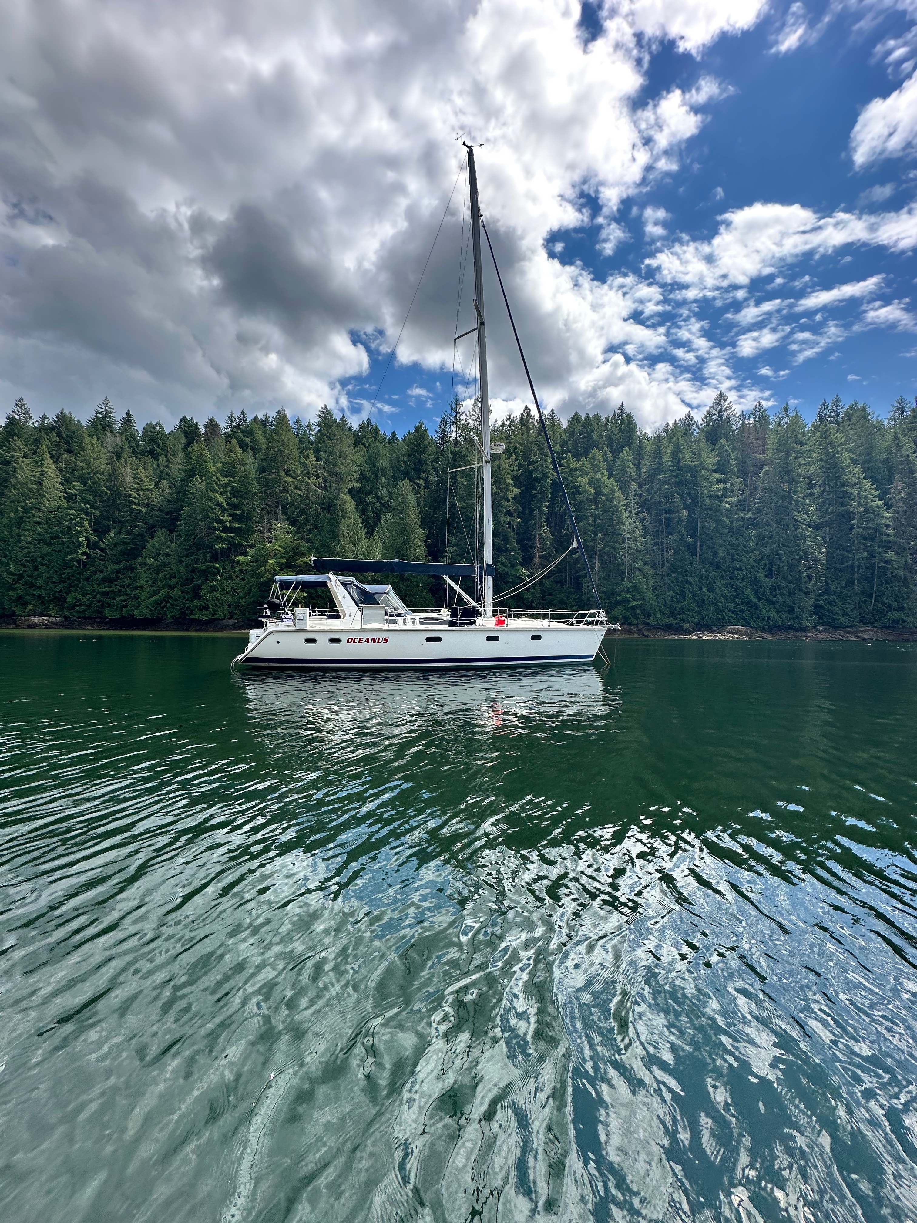
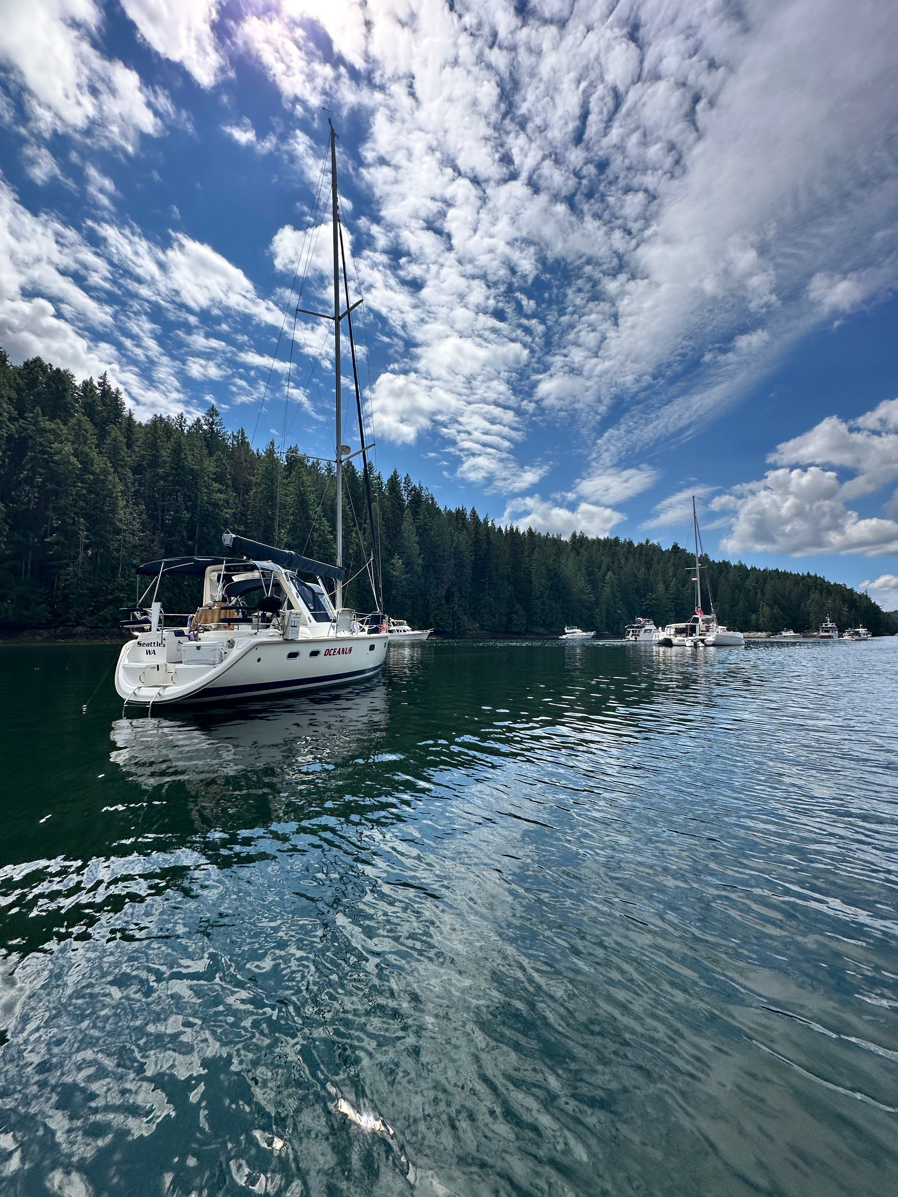
Prideaux Haven — Photo Gallery
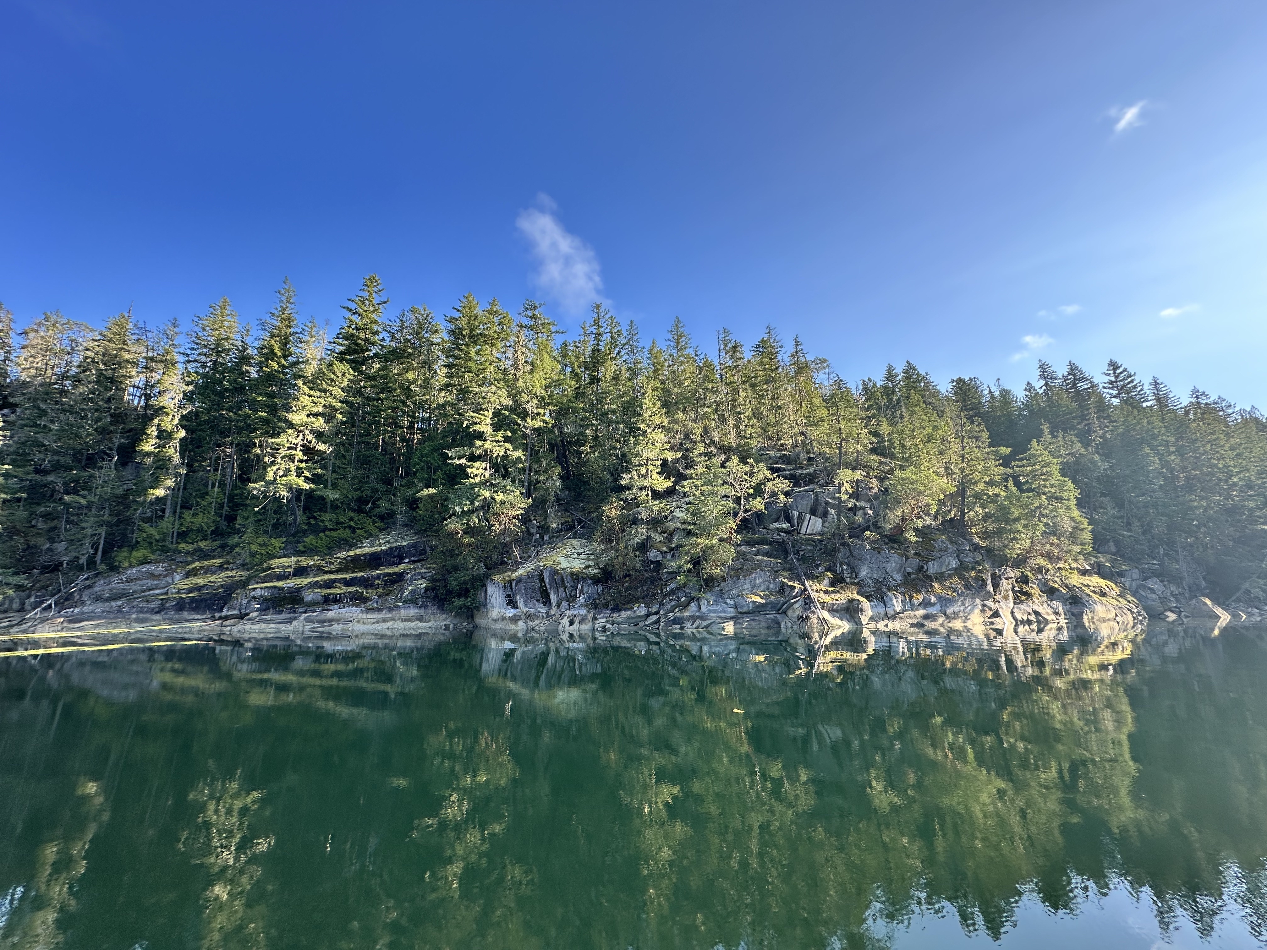
Mountain scenery, anchorages and dinghy exploring around Prideaux Haven.
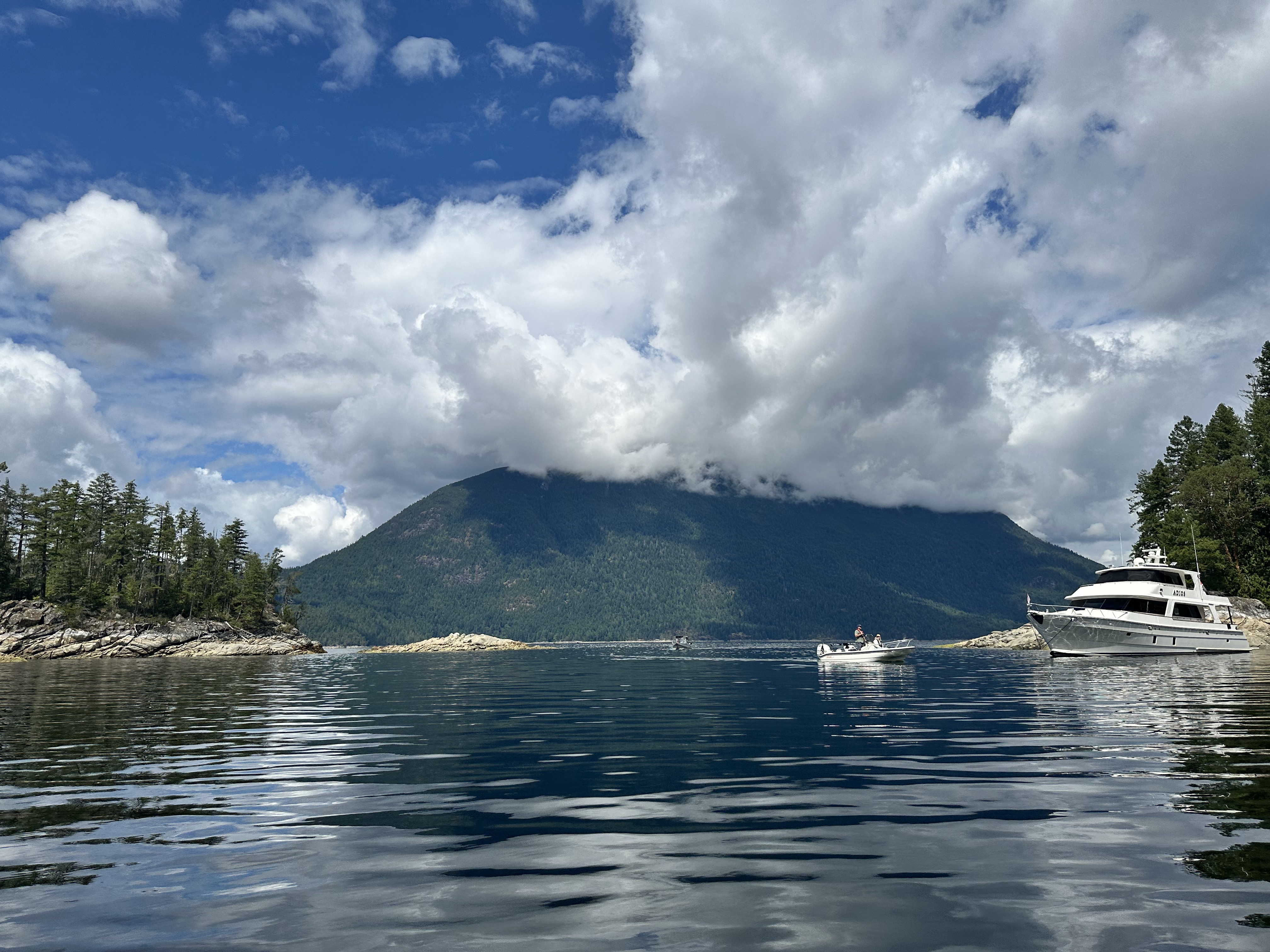
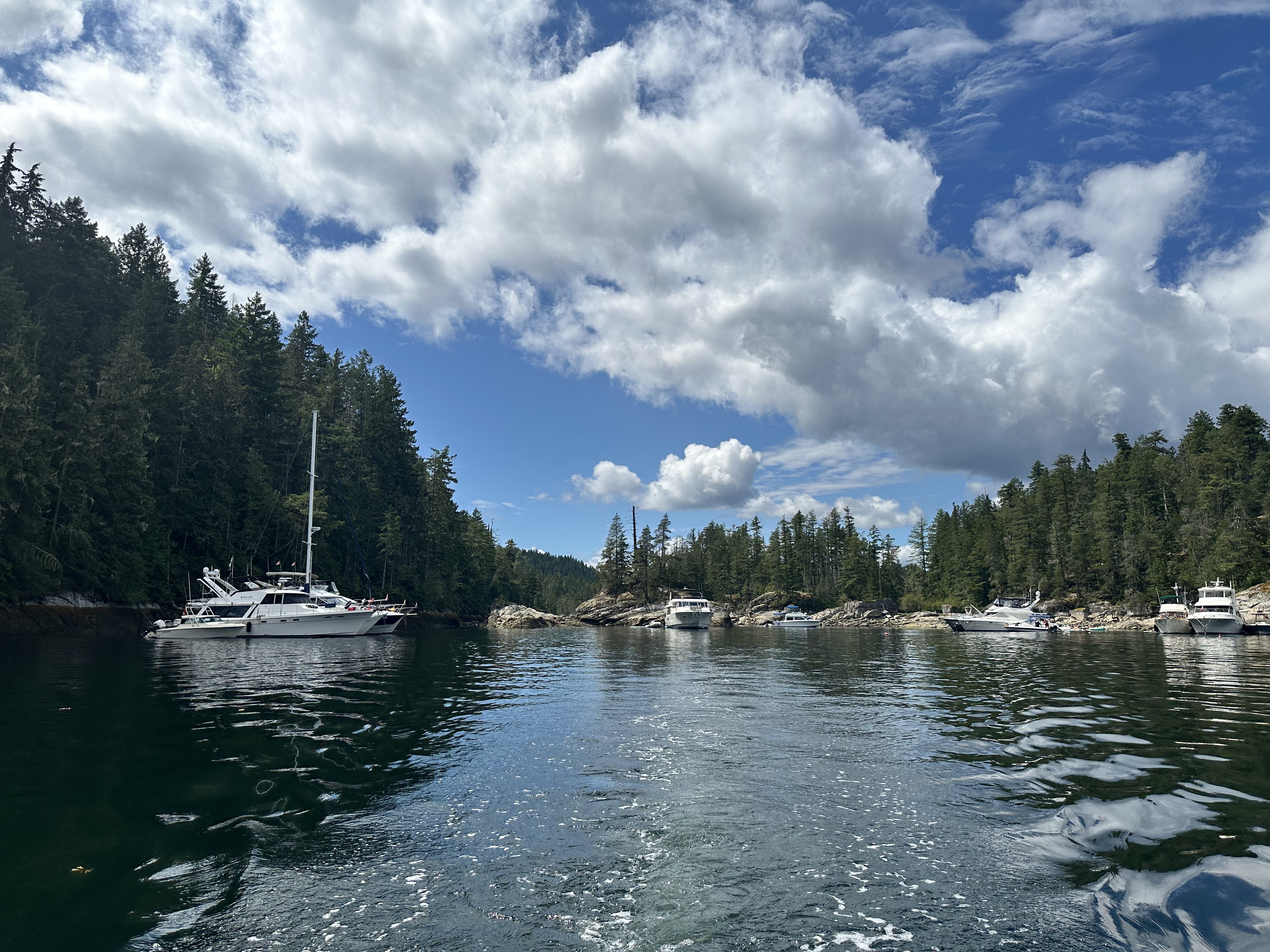
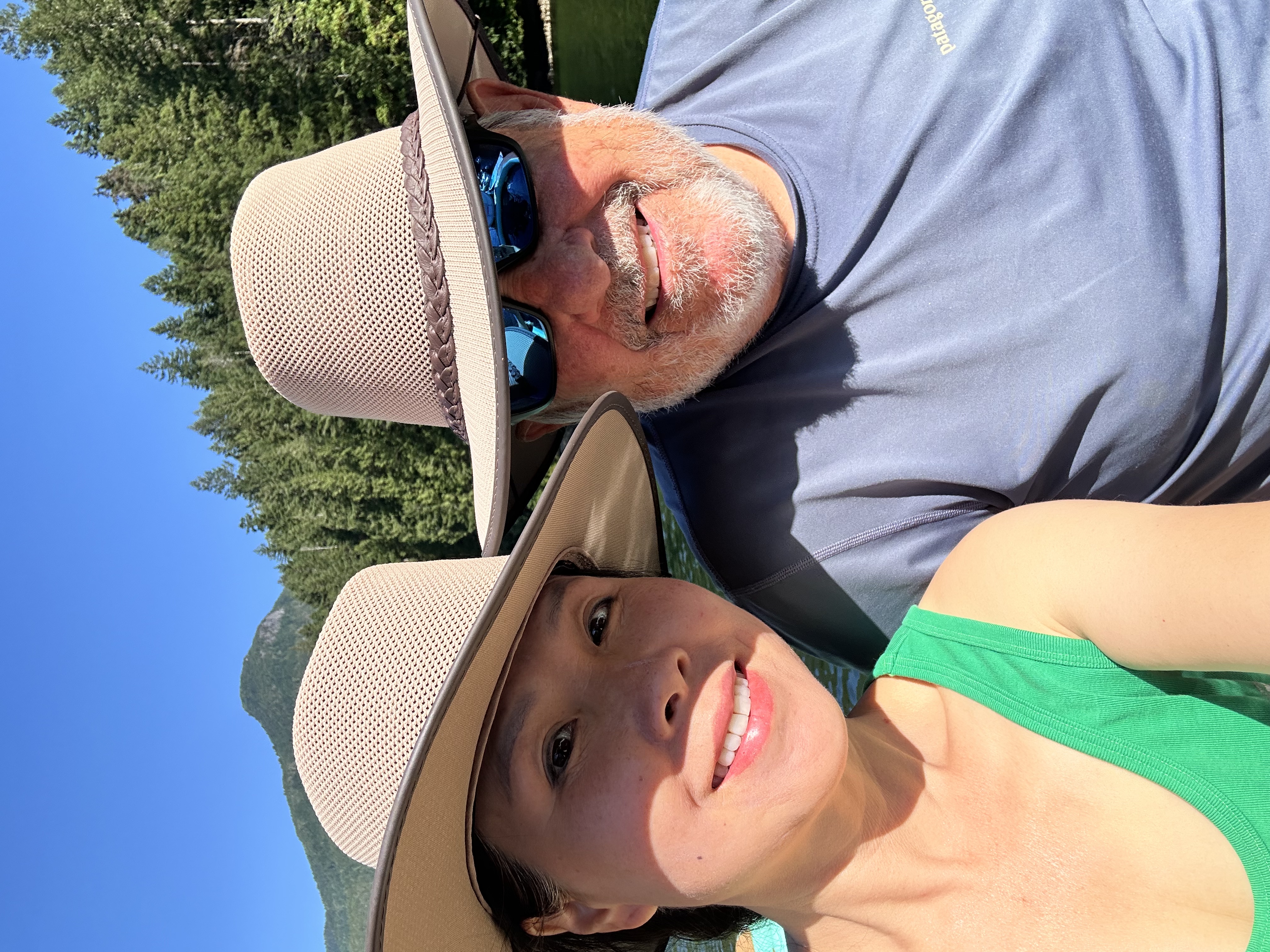
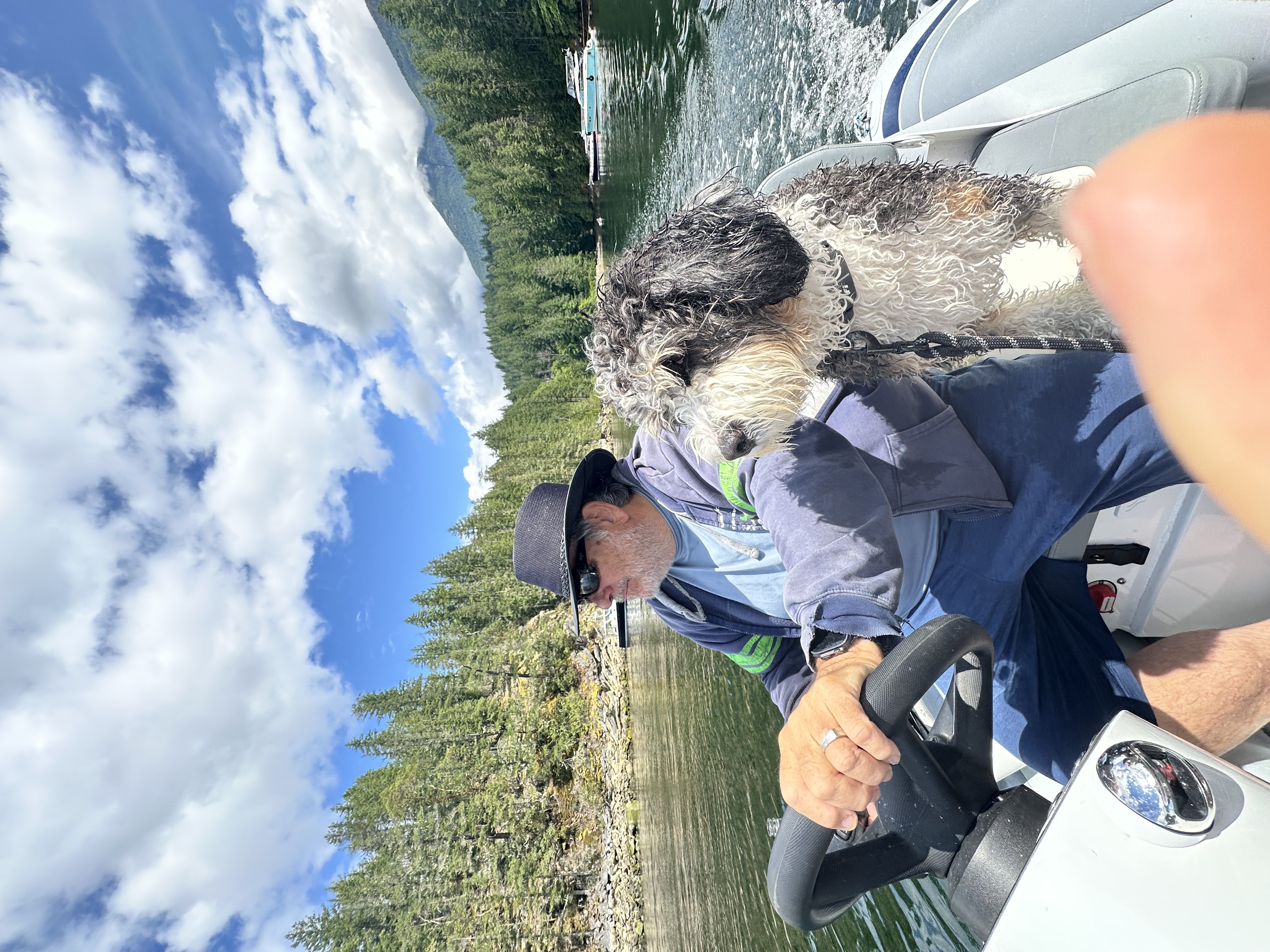
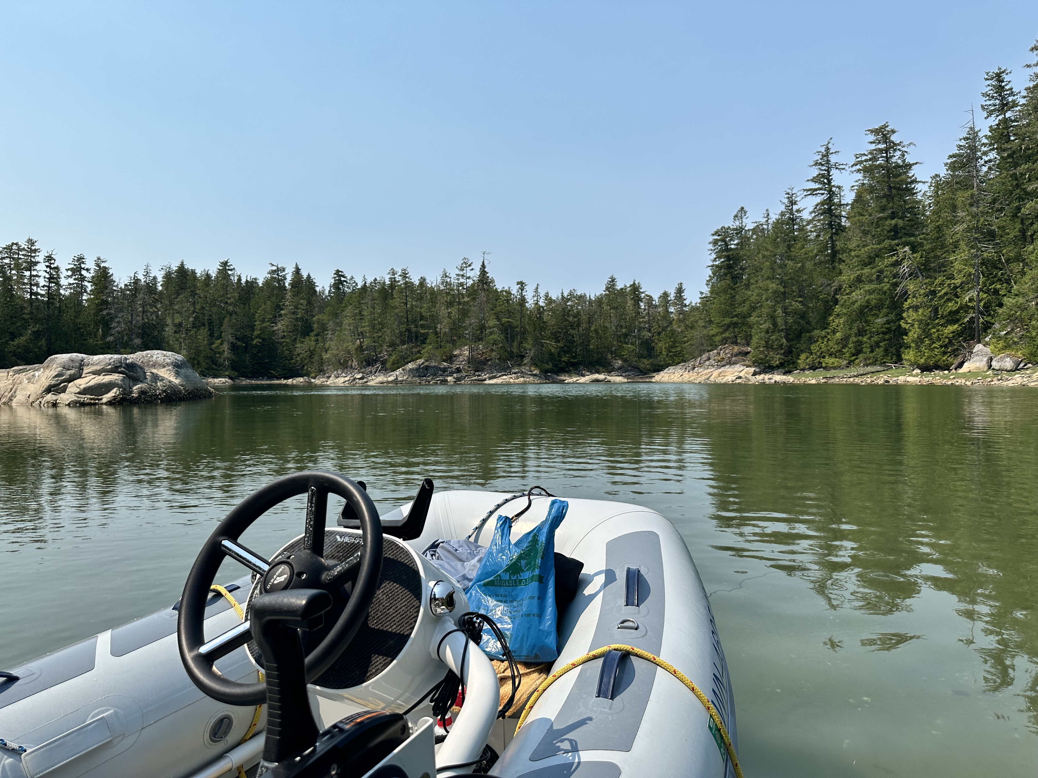
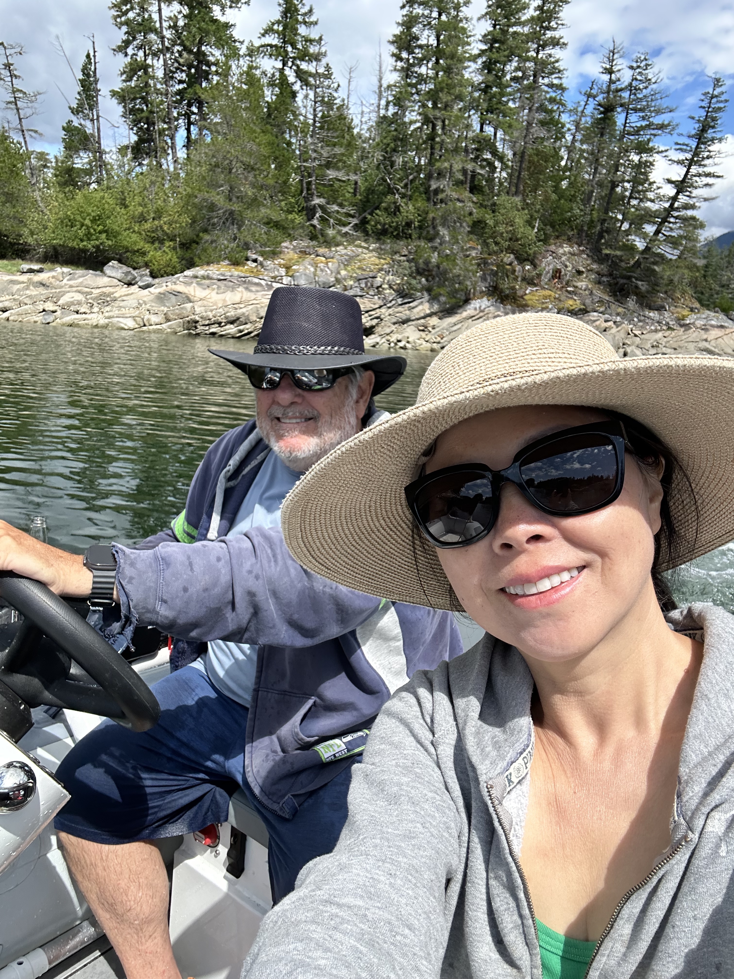
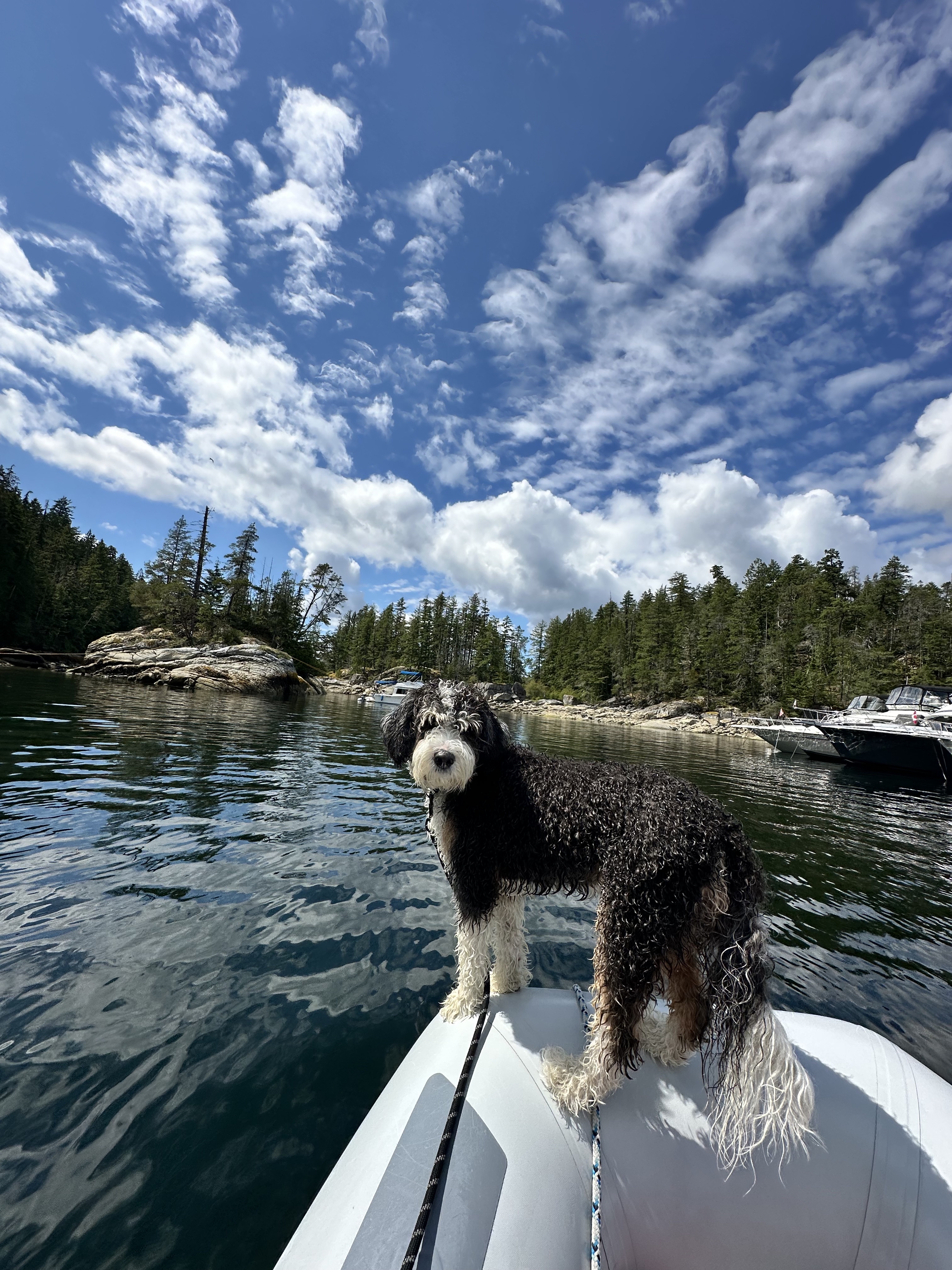
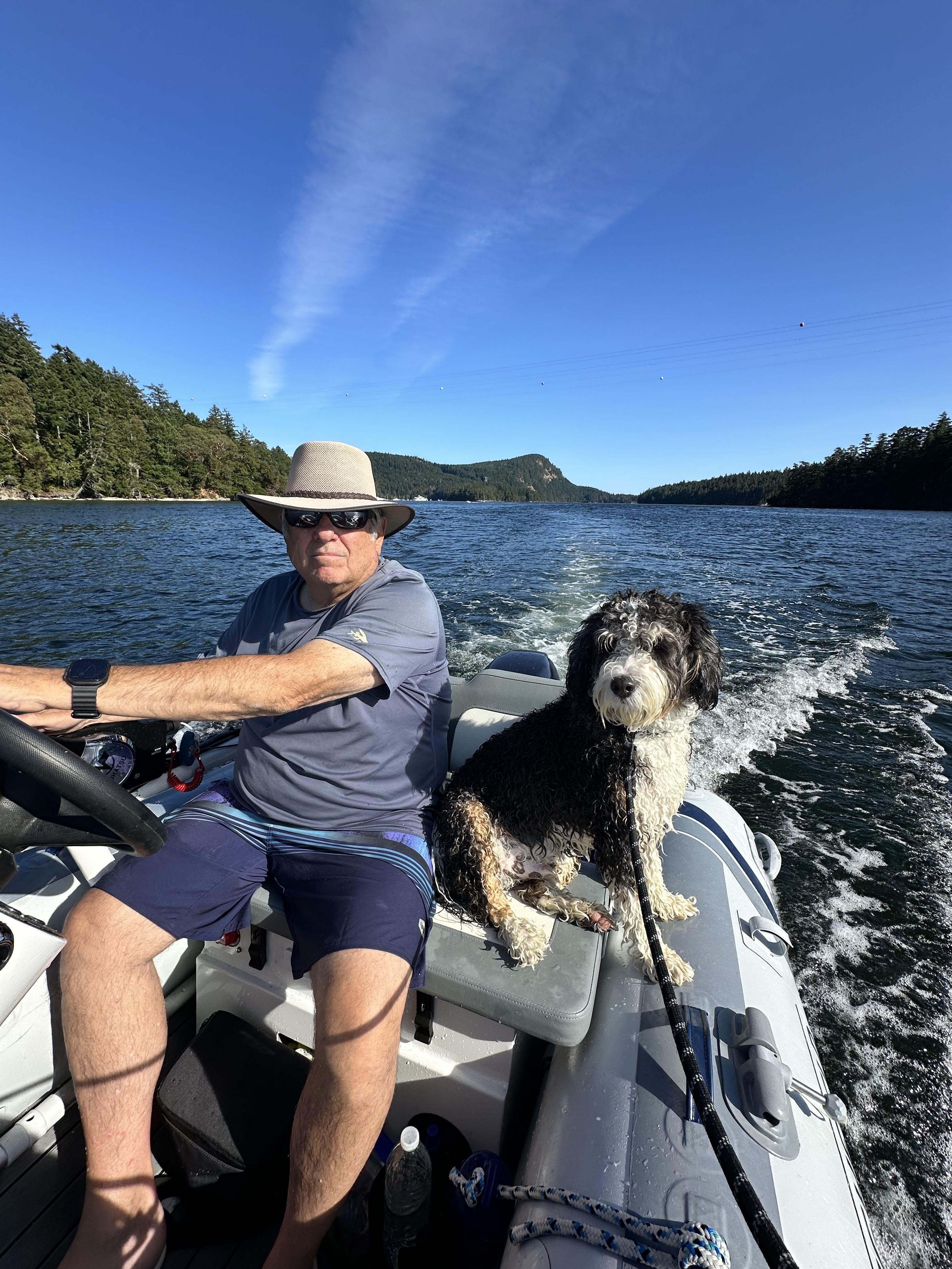
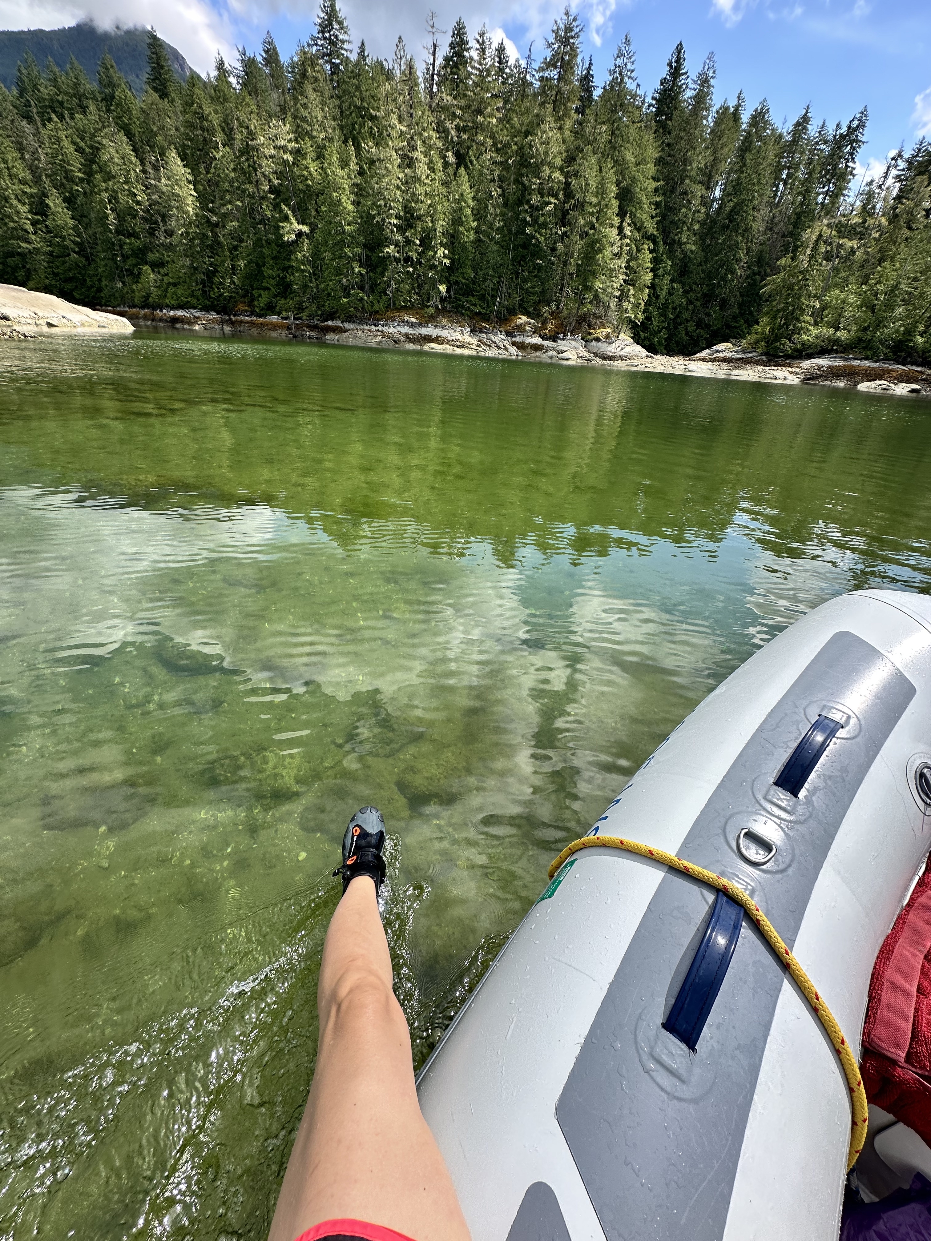
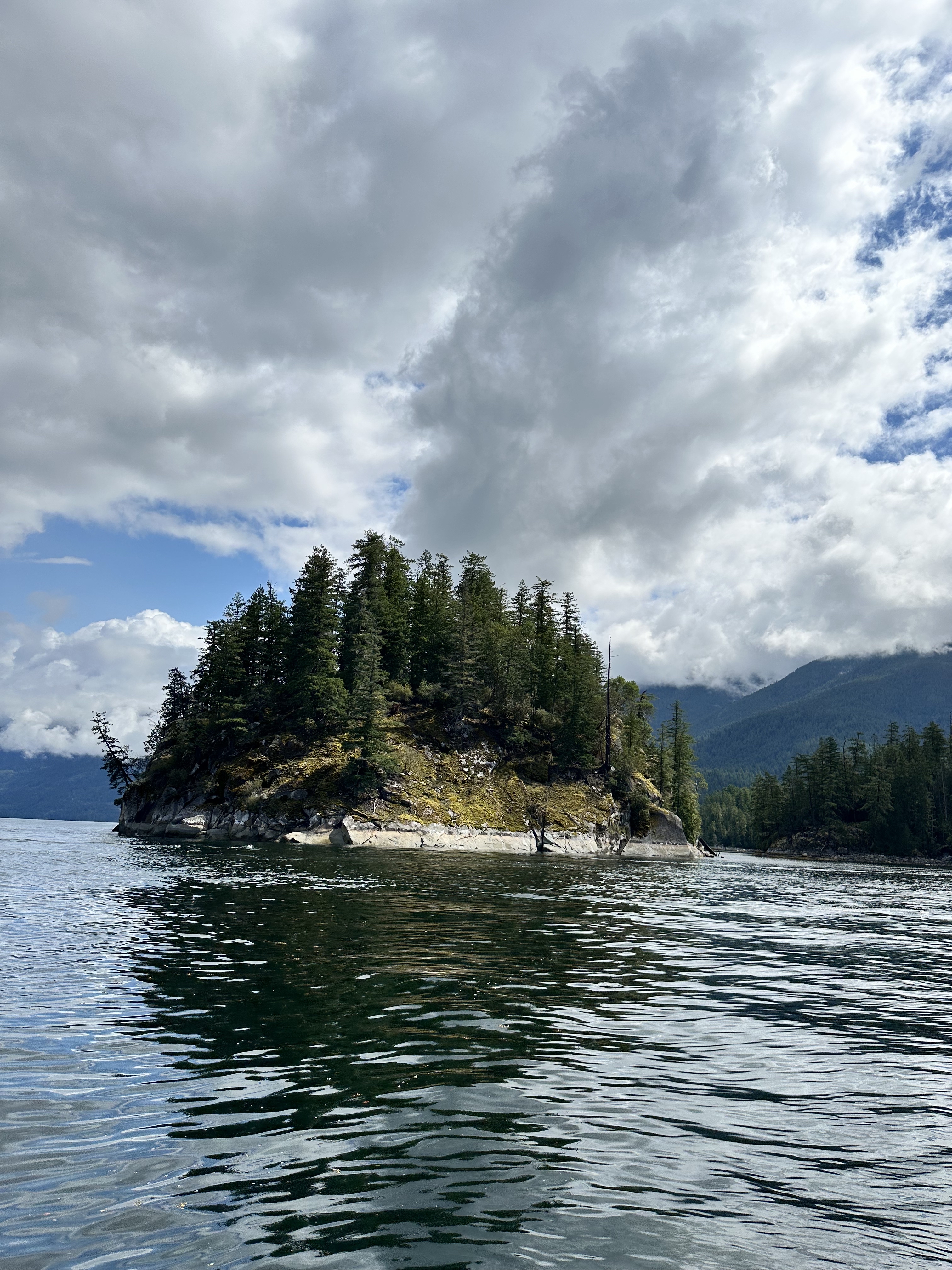
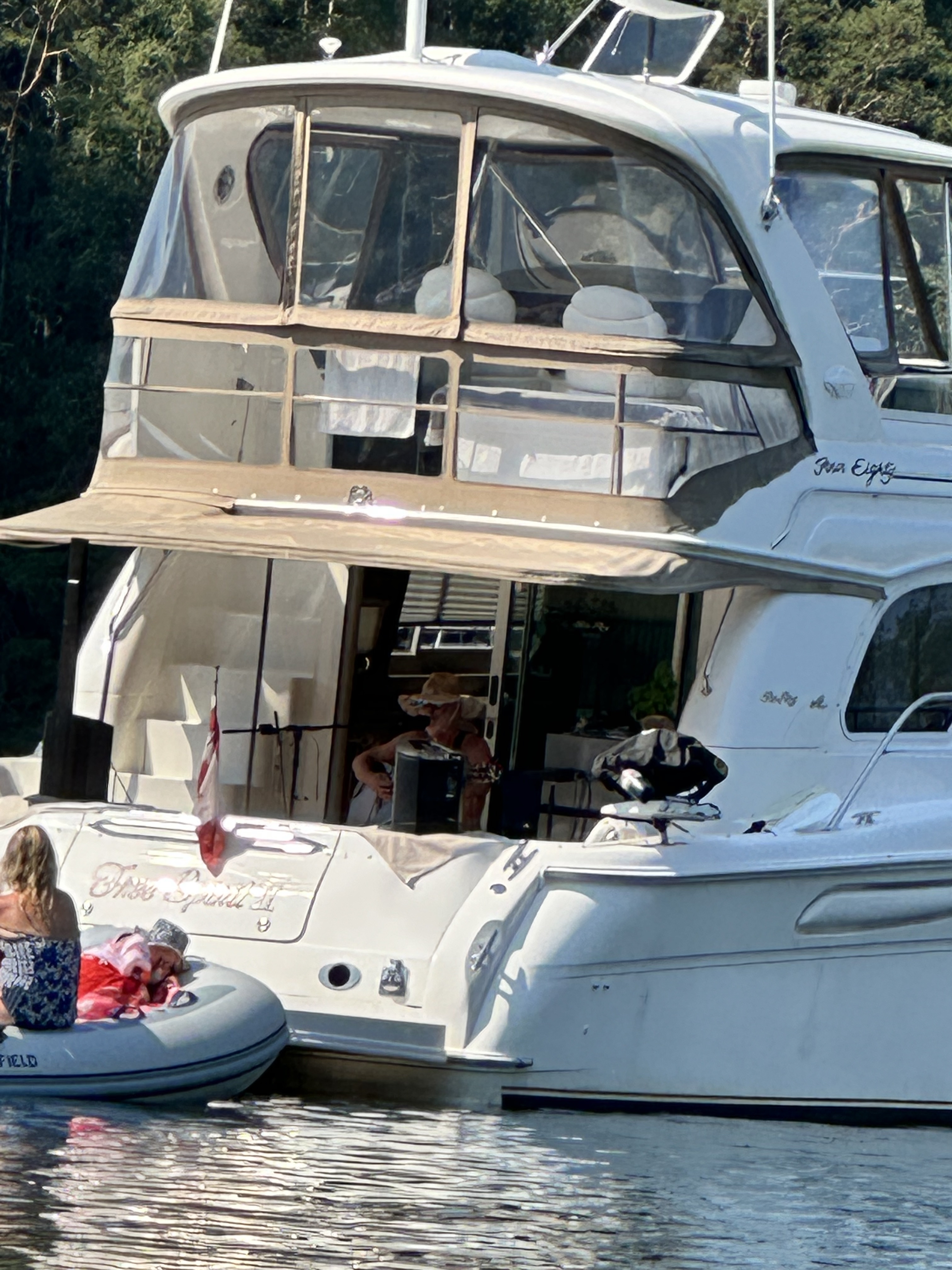
Prideaux Haven — Dinghy Concert
A memorable dinghy concert in Prideaux Haven, right next to our Melanie Cove anchorage.
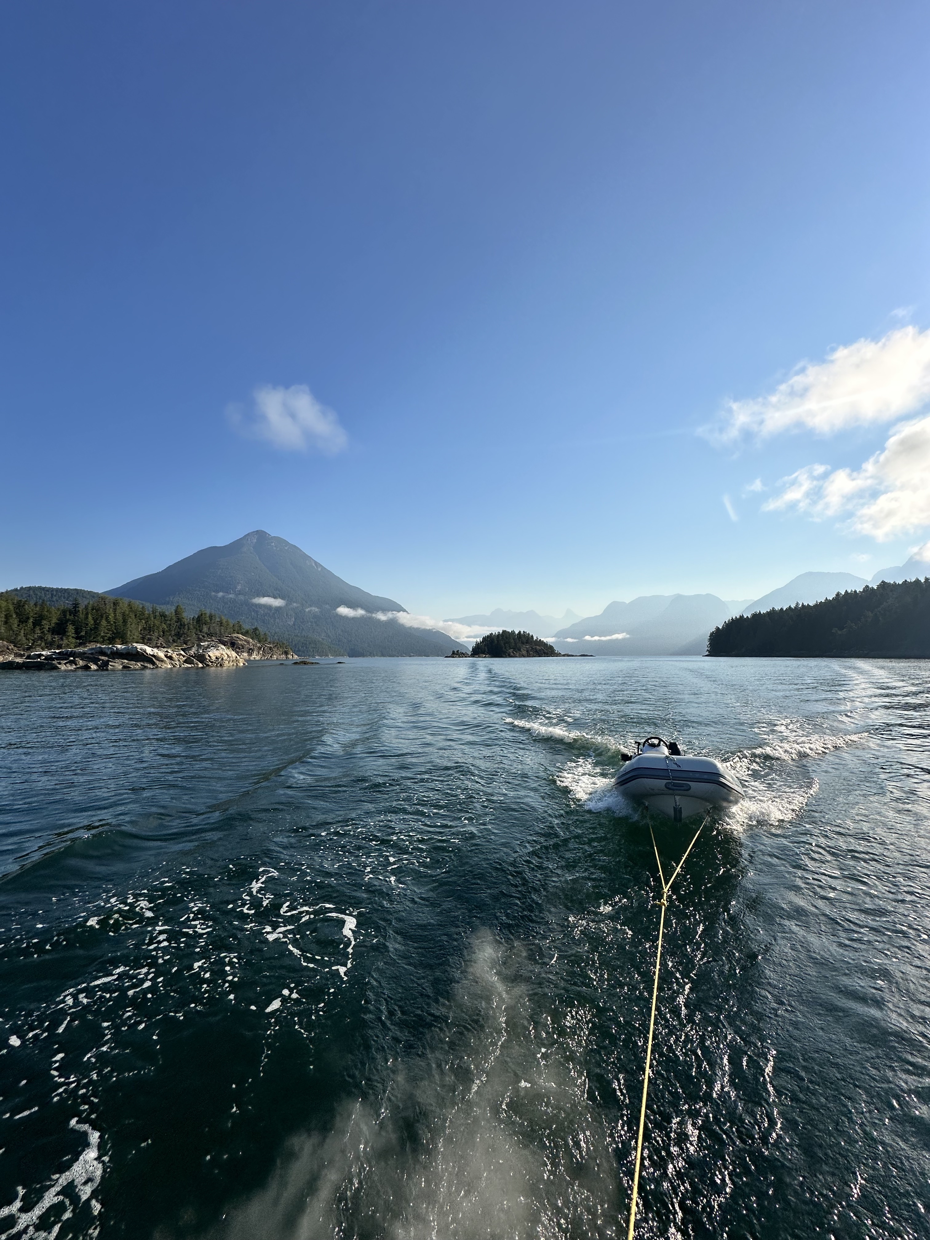
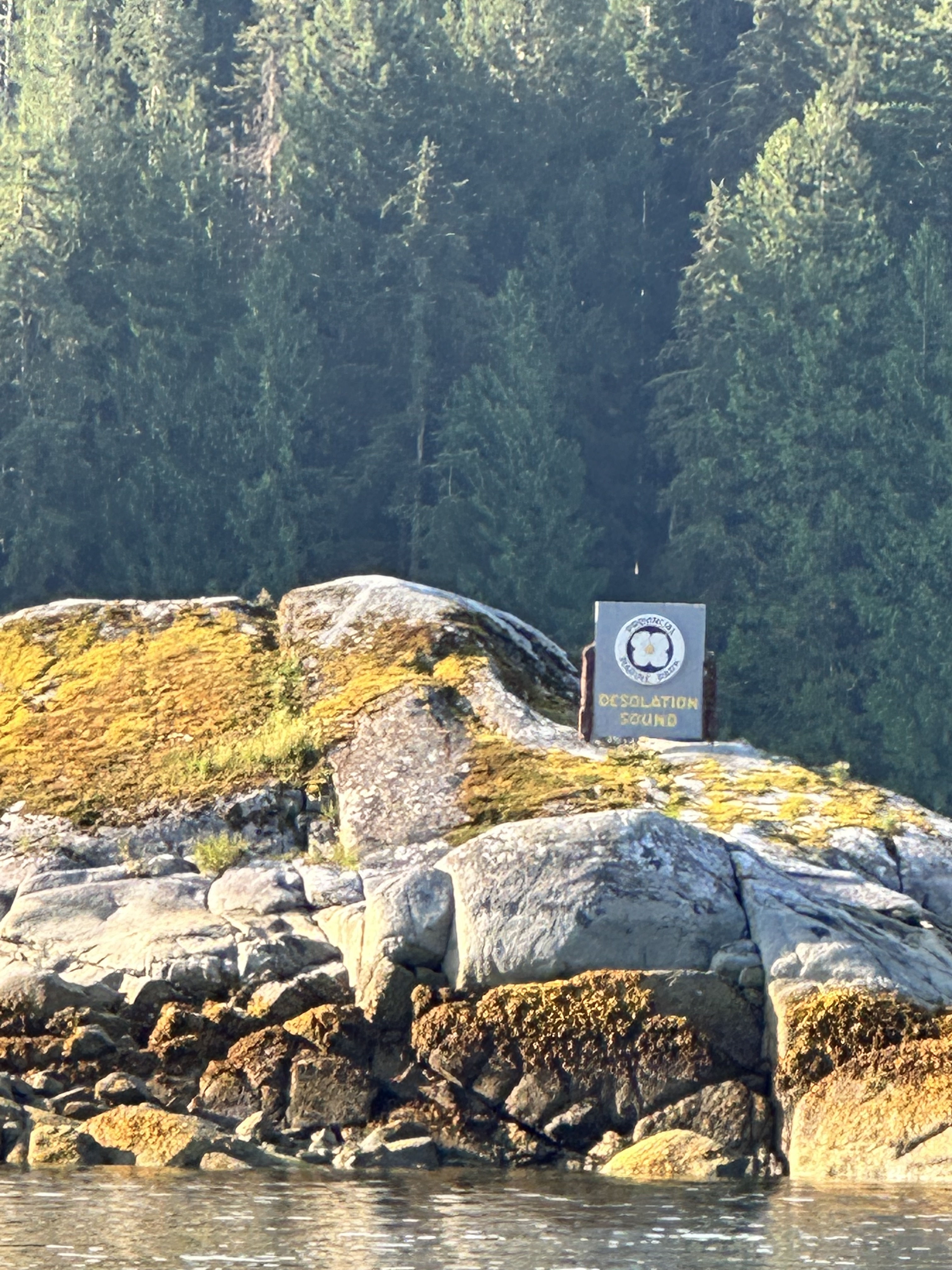
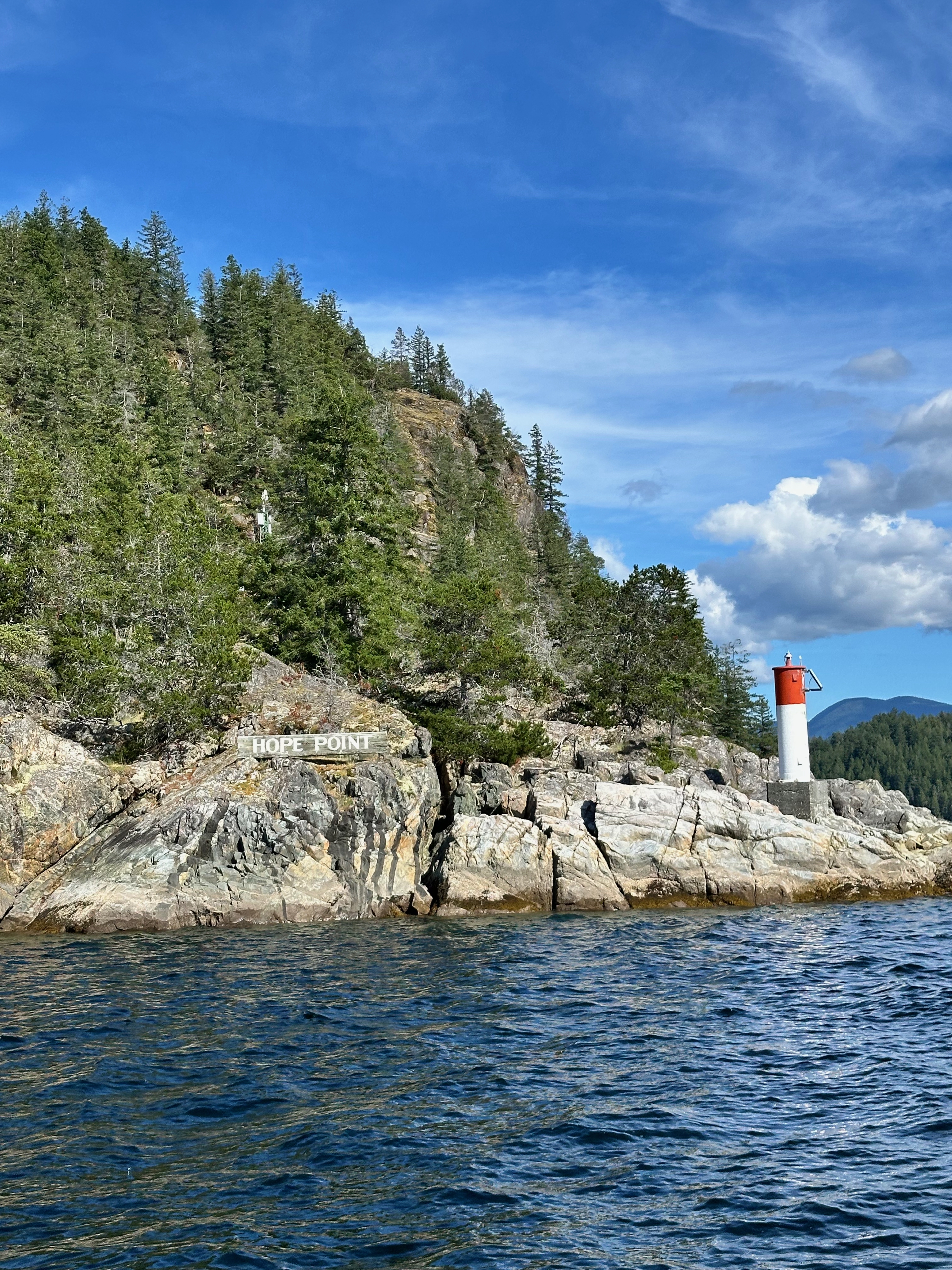
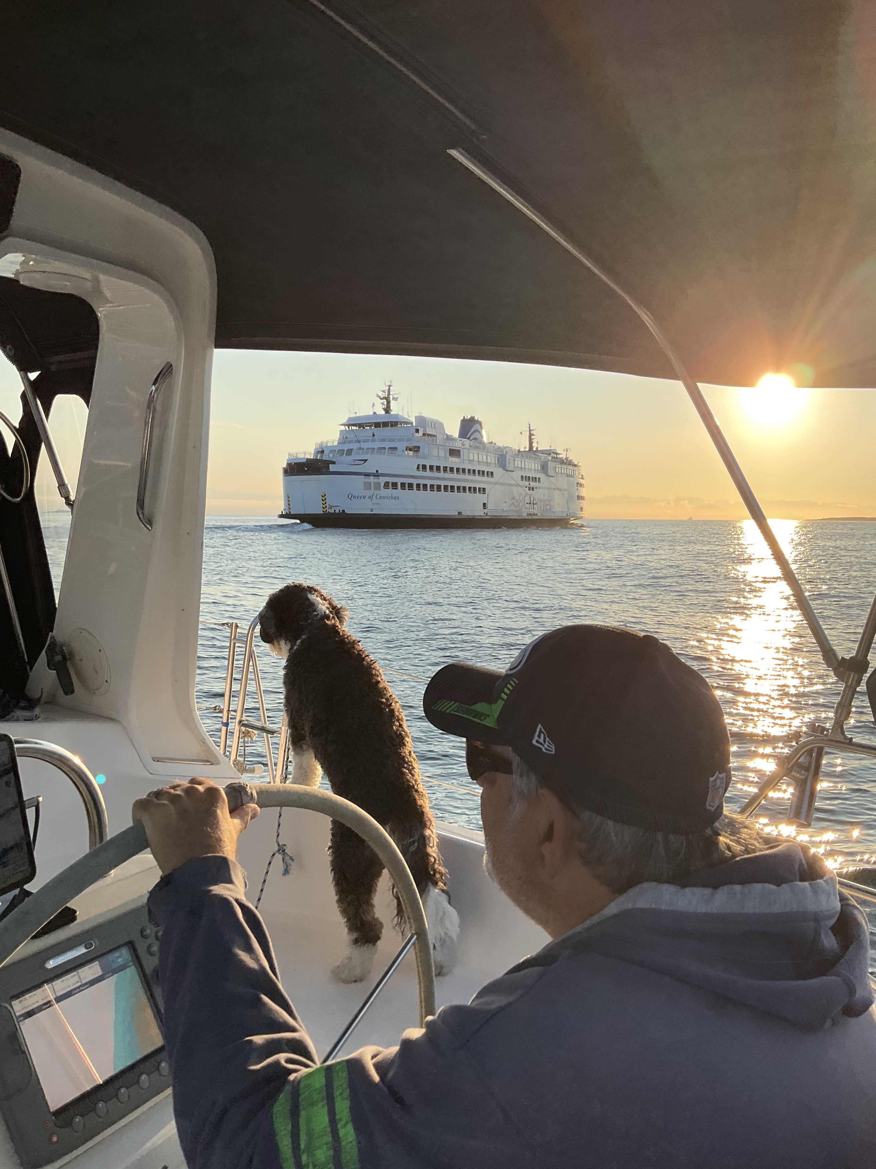
Underway to Desolation Sound — Photo Gallery
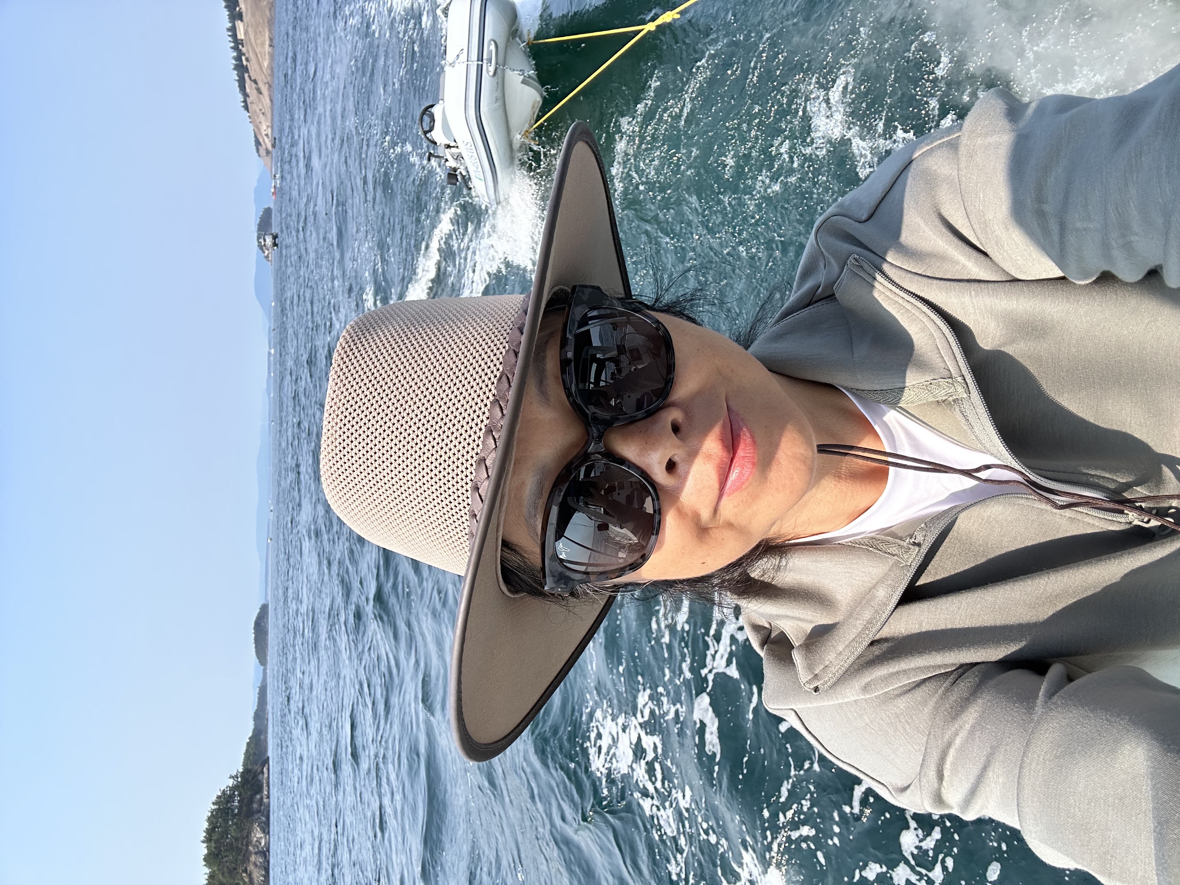
Scenes underway in British Columbia, from sailing Oceanus north to the dramatic entrance and quiet waters of Desolation Sound.
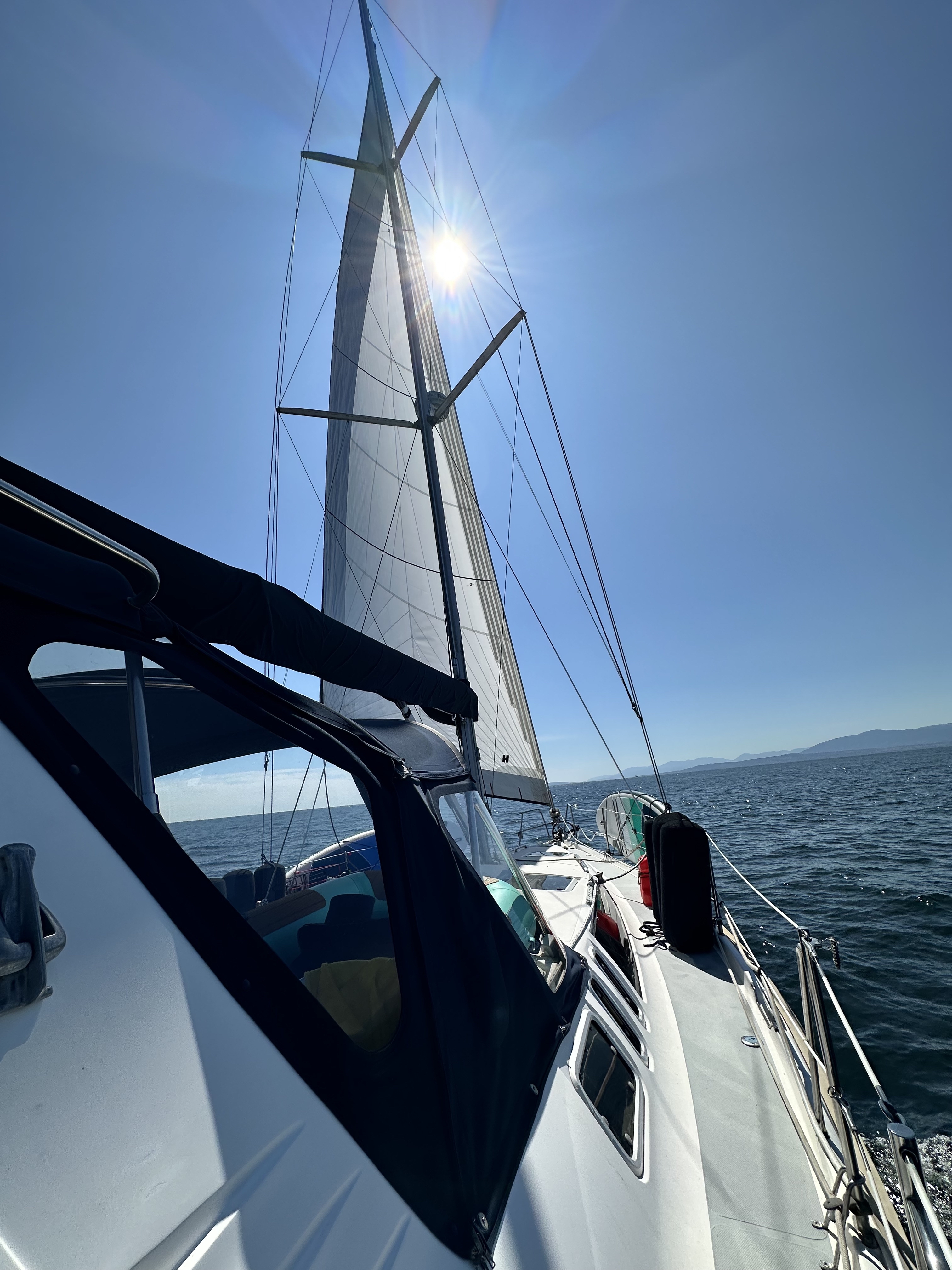
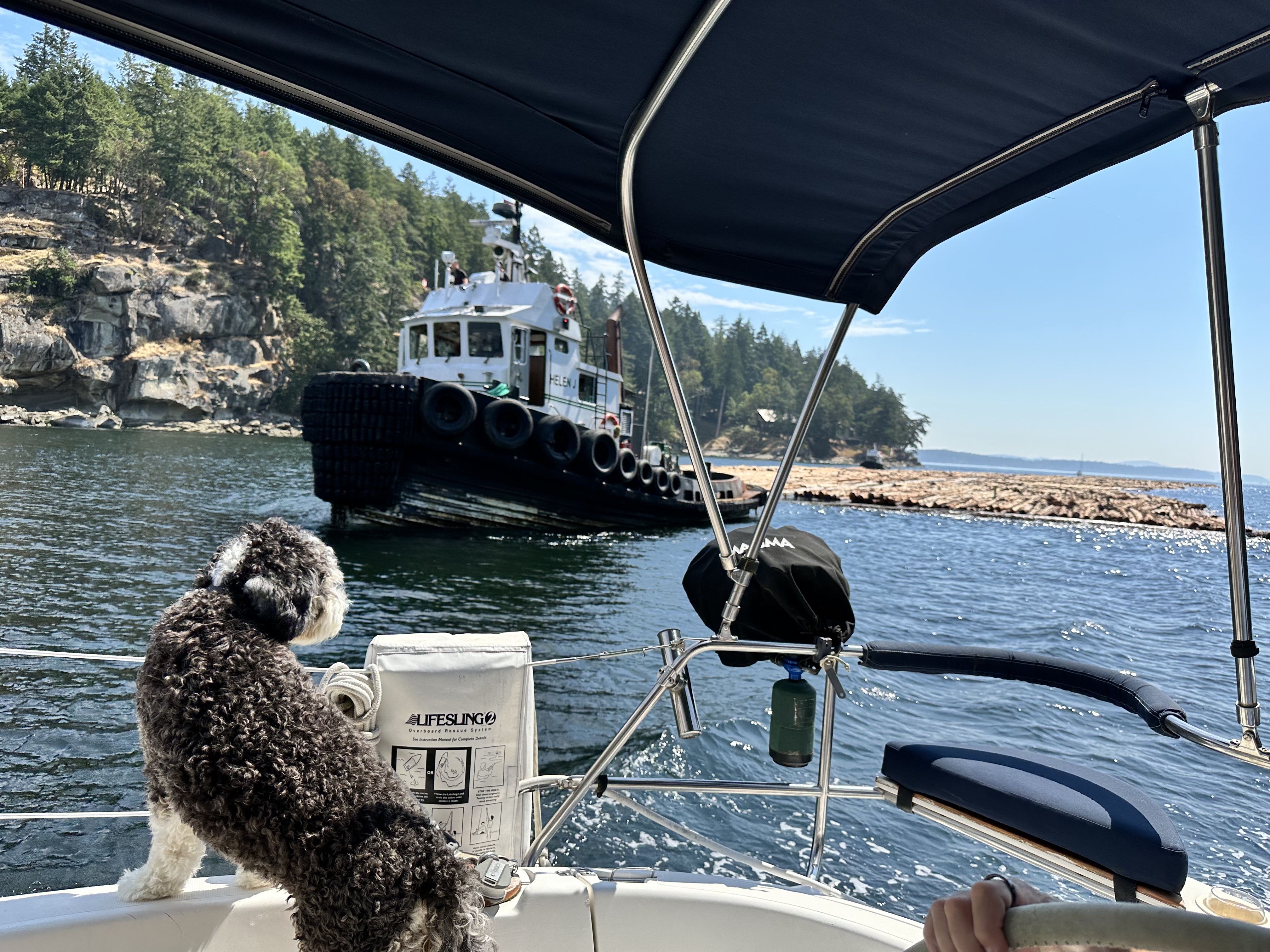
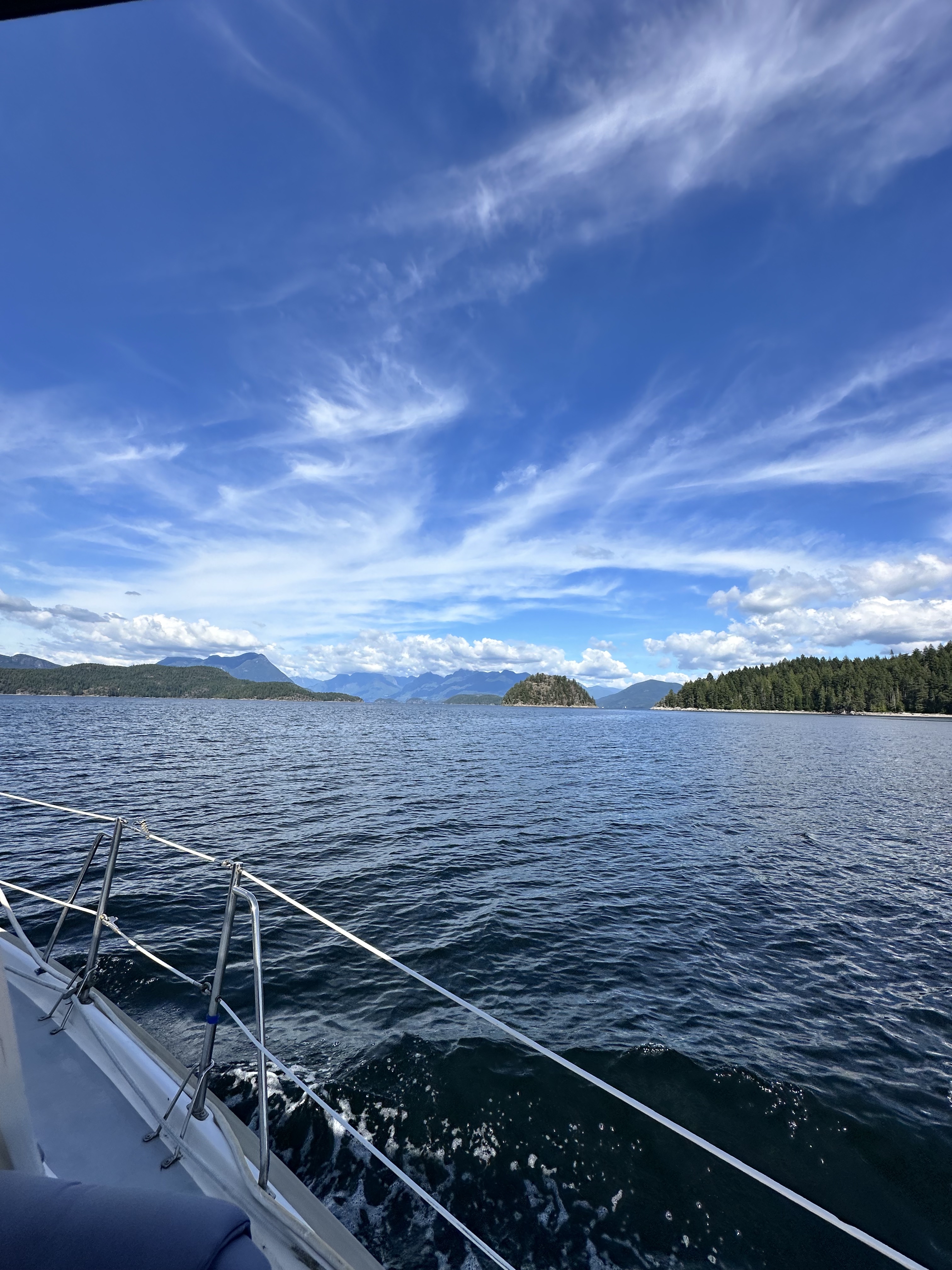
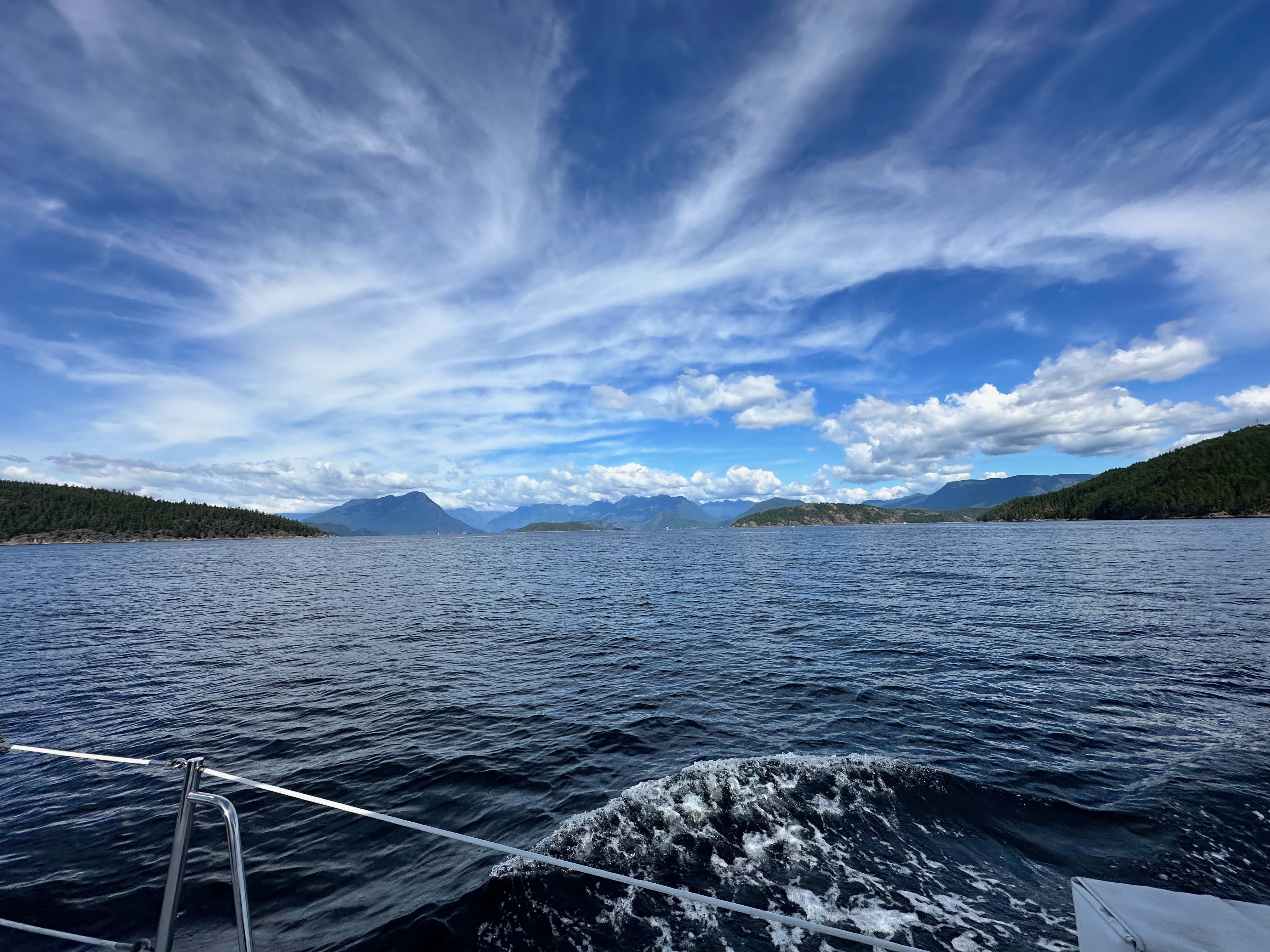
🌲 Desolation Sound
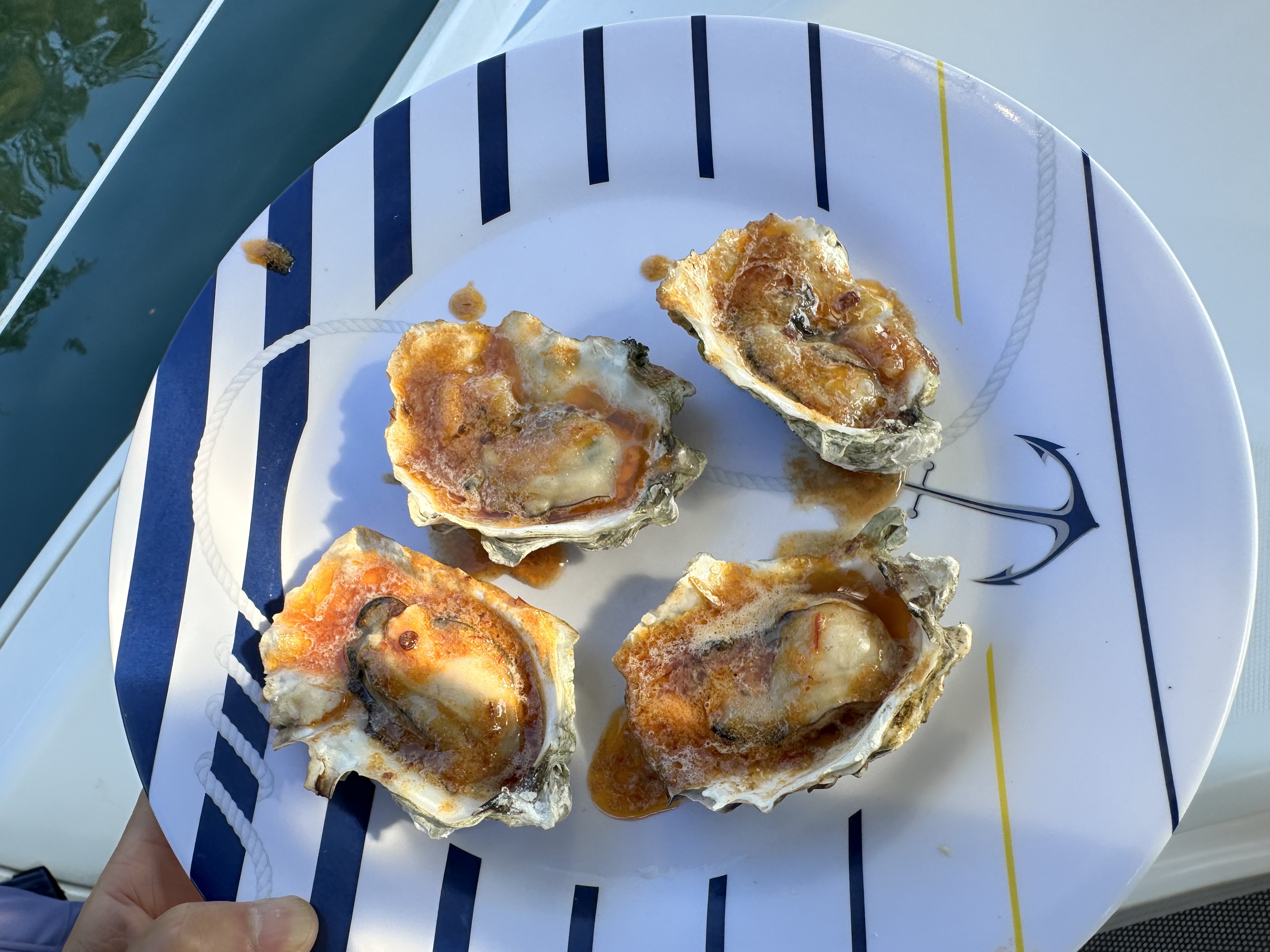
- Actual stops included Refuge Cove, Squirrel Cove, Grace Harbour and Melanie Cove.
- Grace Harbour provided a large, sheltered Desolation Sound anchorage.
- Squirrel Cove added another exceptionally protected anchorage to the route.
🦀 Spencer Spit — Beach & Dungeness Crab
- Spencer Spit was one of our favorite San Juan Islands stops.
- We especially enjoyed the long beach and spending time ashore.
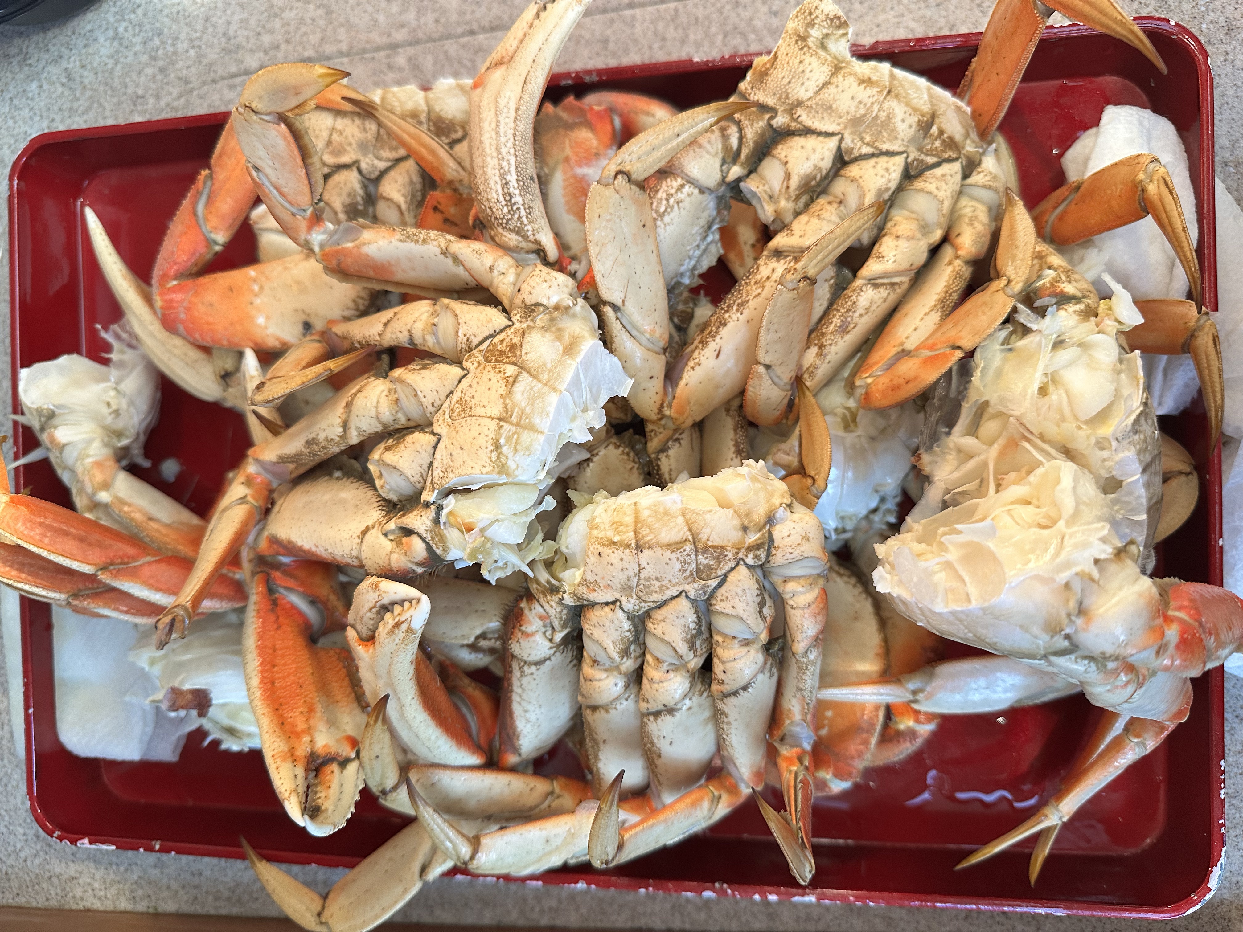
- We caught Dungeness crab while we were there — one of the memorable treats of the cruise.
- The combination of the beach, protected setting, and crabbing made Spencer Spit a stop we enjoyed in both directions.
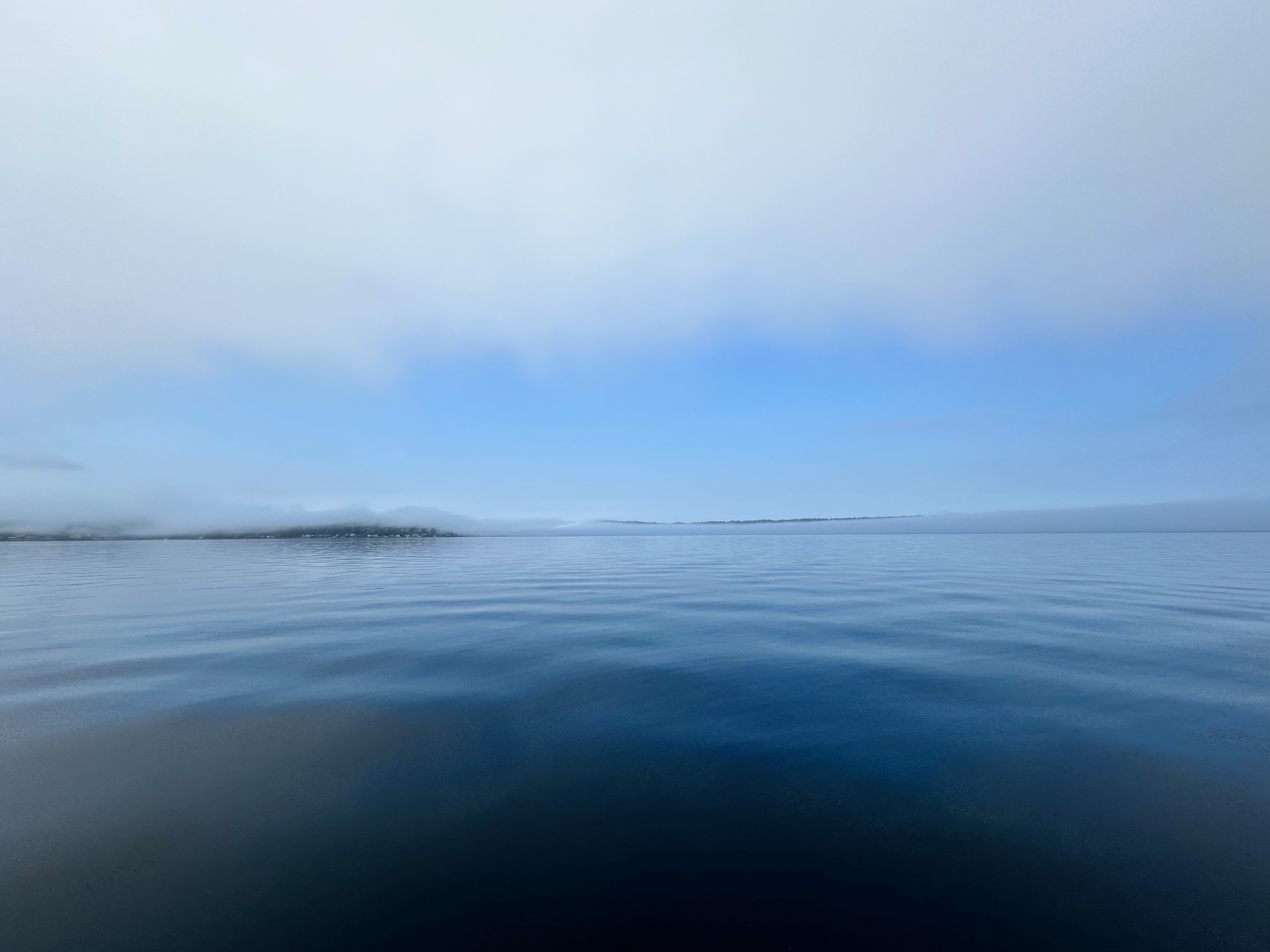
🐚 Reid Harbor & Gossip Island — Our Secluded Anchorage
- Just inside Reid Harbor, near Gossip Island, is a small white shell beach that became one of our favorite places in the San Juans.
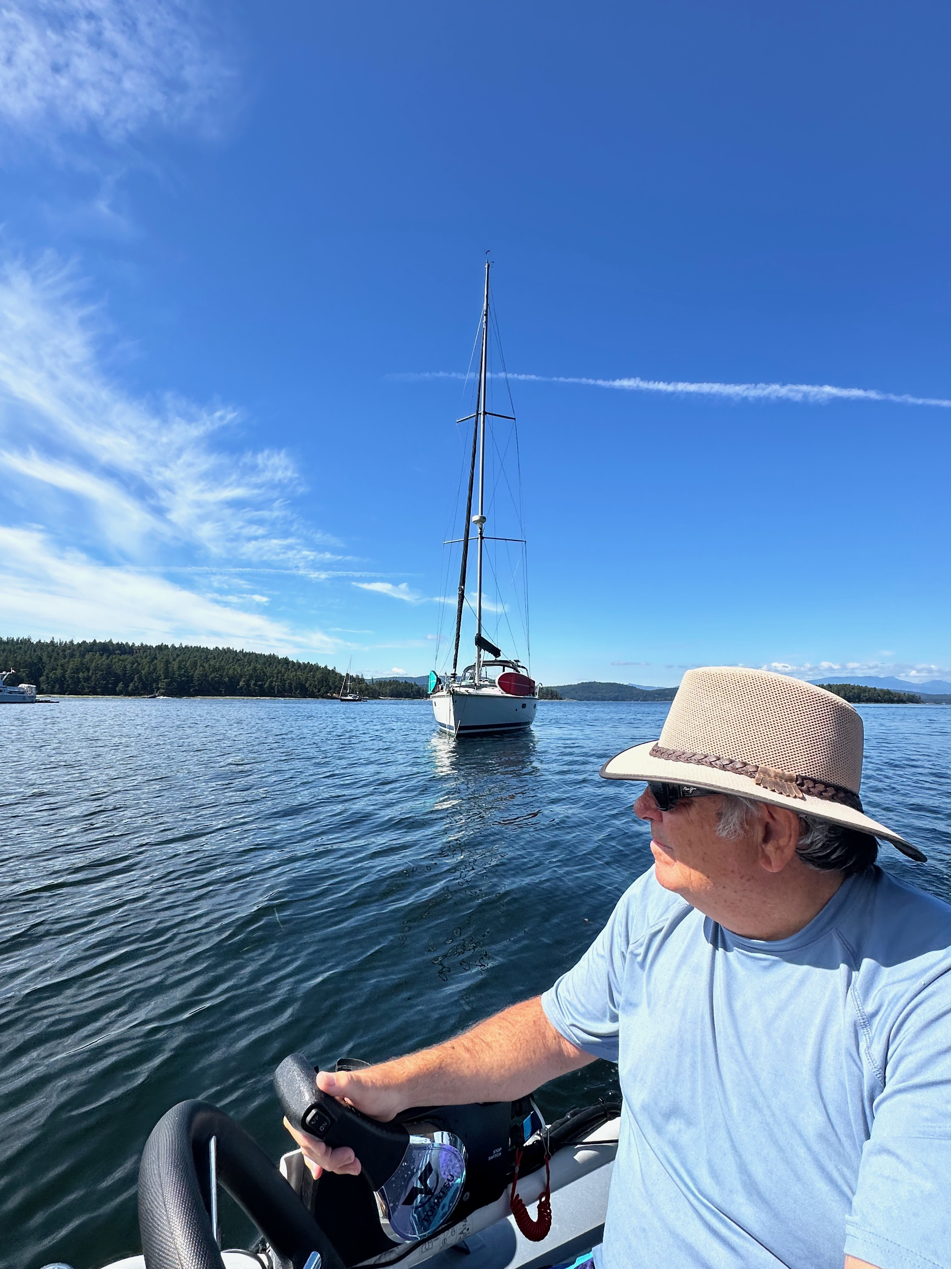
- We anchored Oceanus near Gossip Island, close to the beach, rather than staying with the main concentration of boats farther inside the harbor.
- We were the only boat in that area, giving the anchorage and little shell beach a wonderfully private, secluded feeling.
- It was the kind of quiet anchorage that made the five-week cruise special — beautiful water, a favorite beach nearby, and Oceanus sitting by herself at anchor.
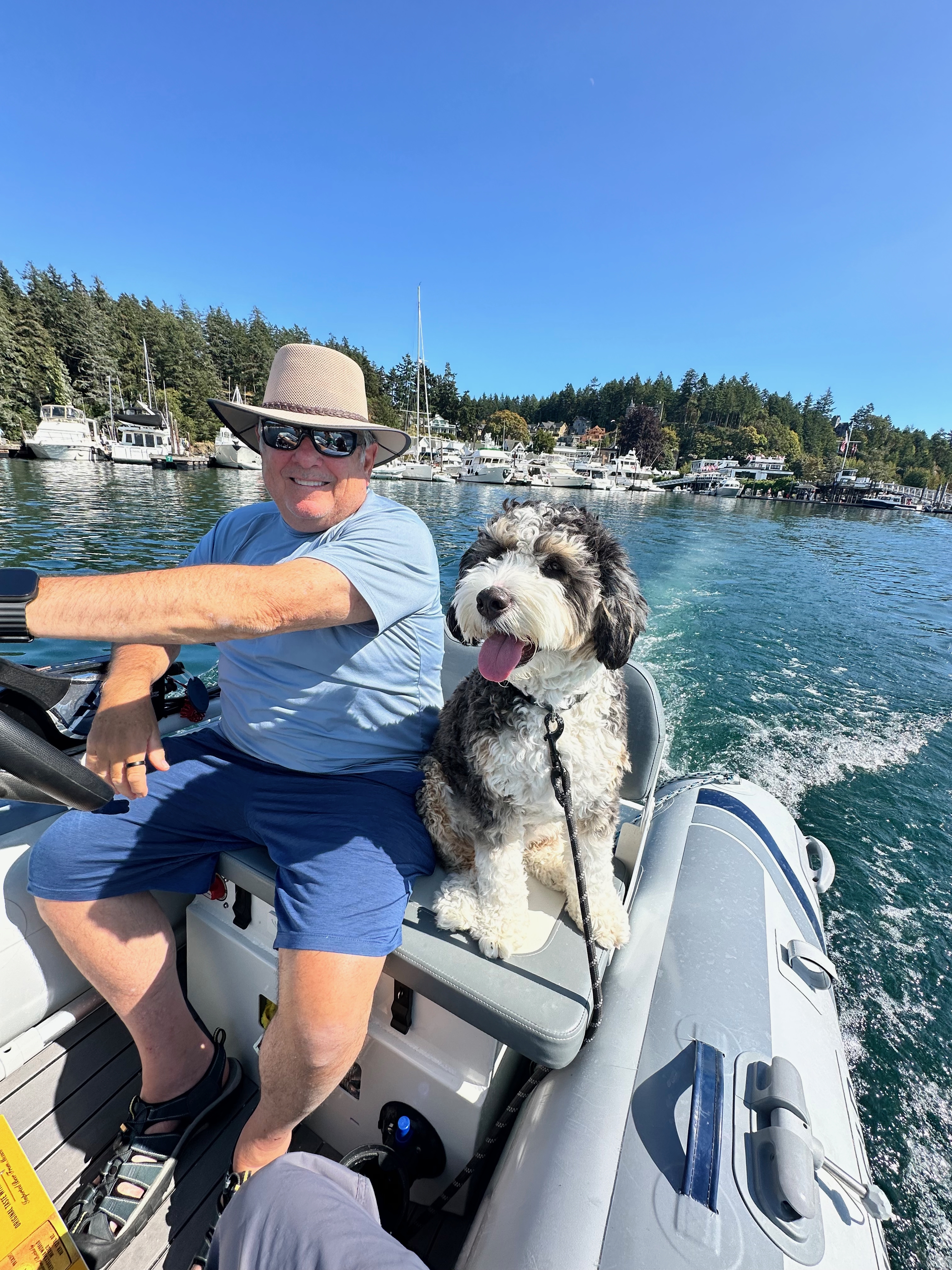
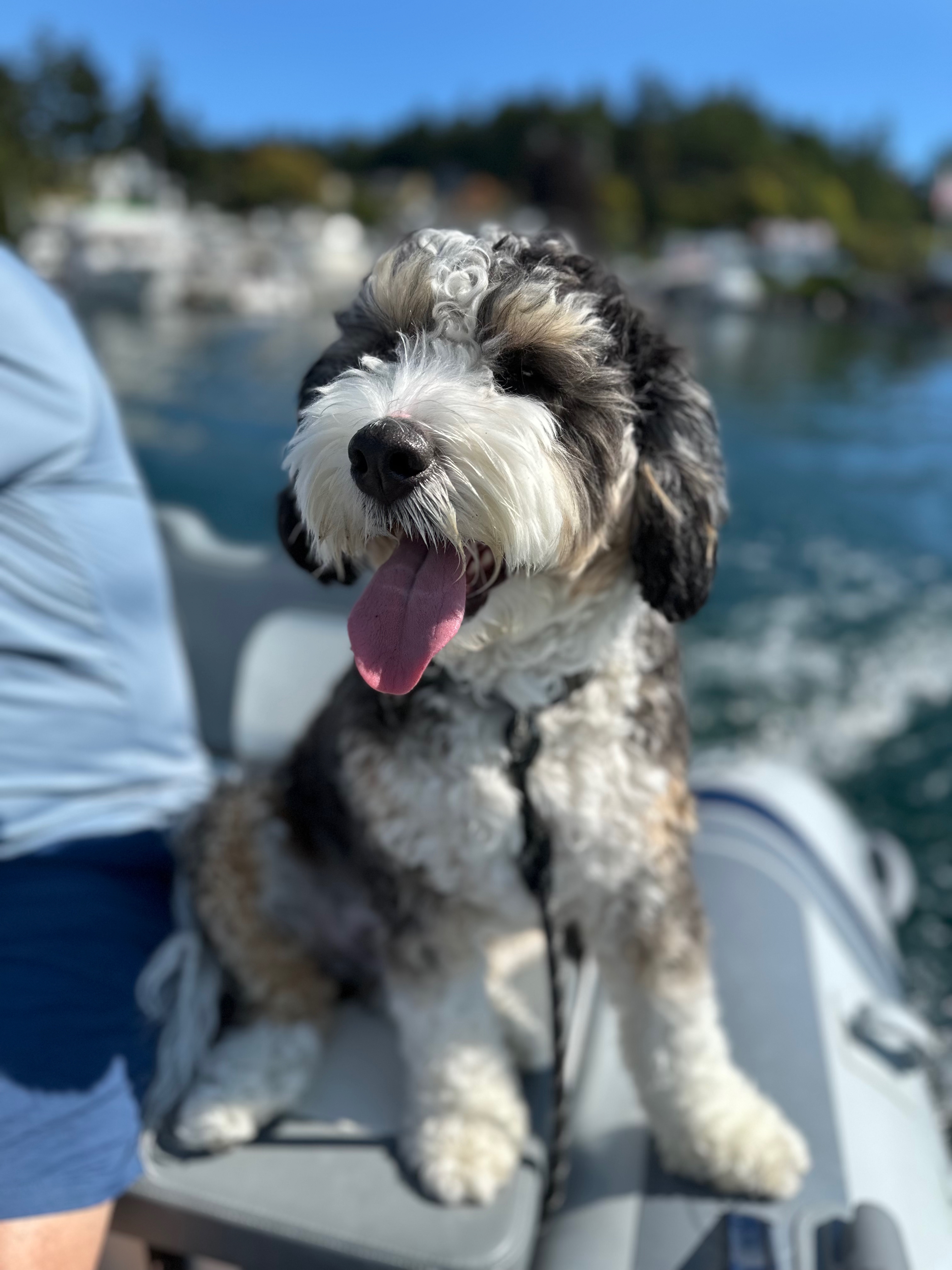
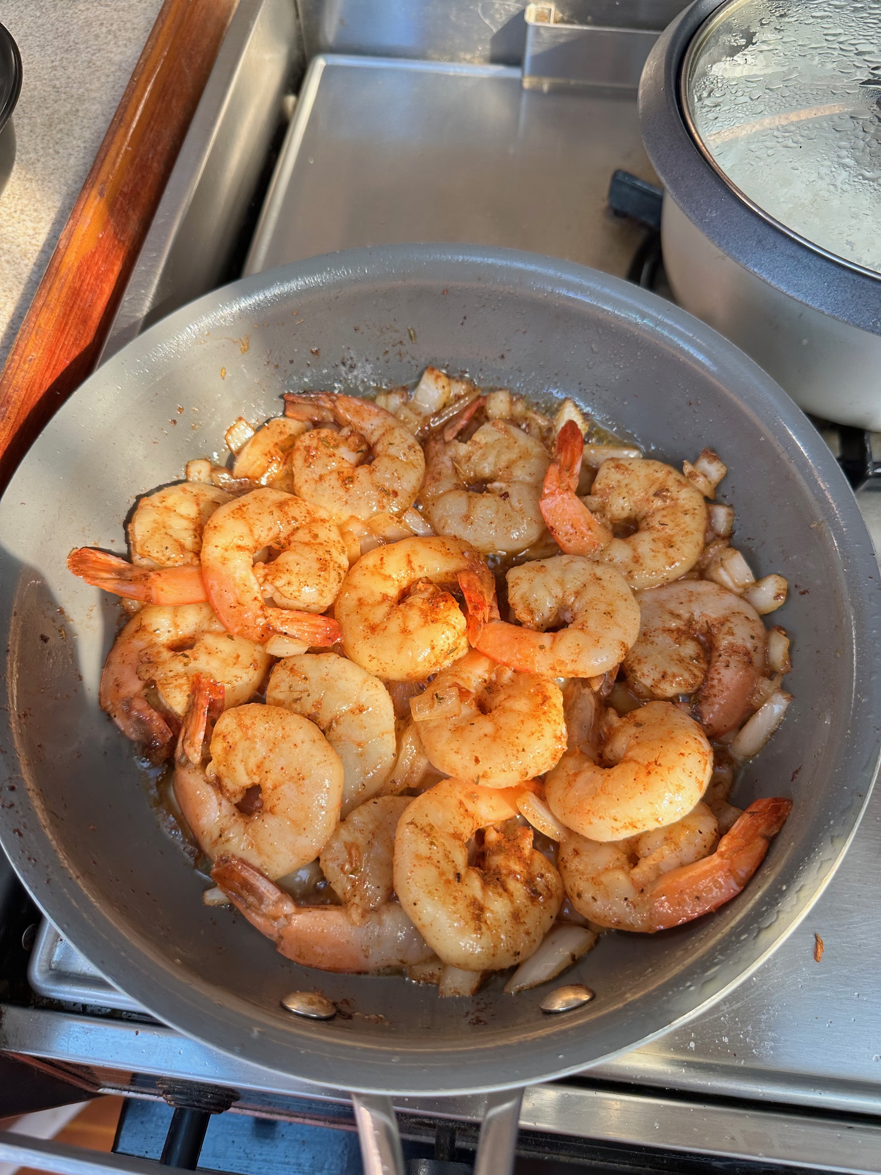
Roche Harbor — Dinghy & Galley Moments
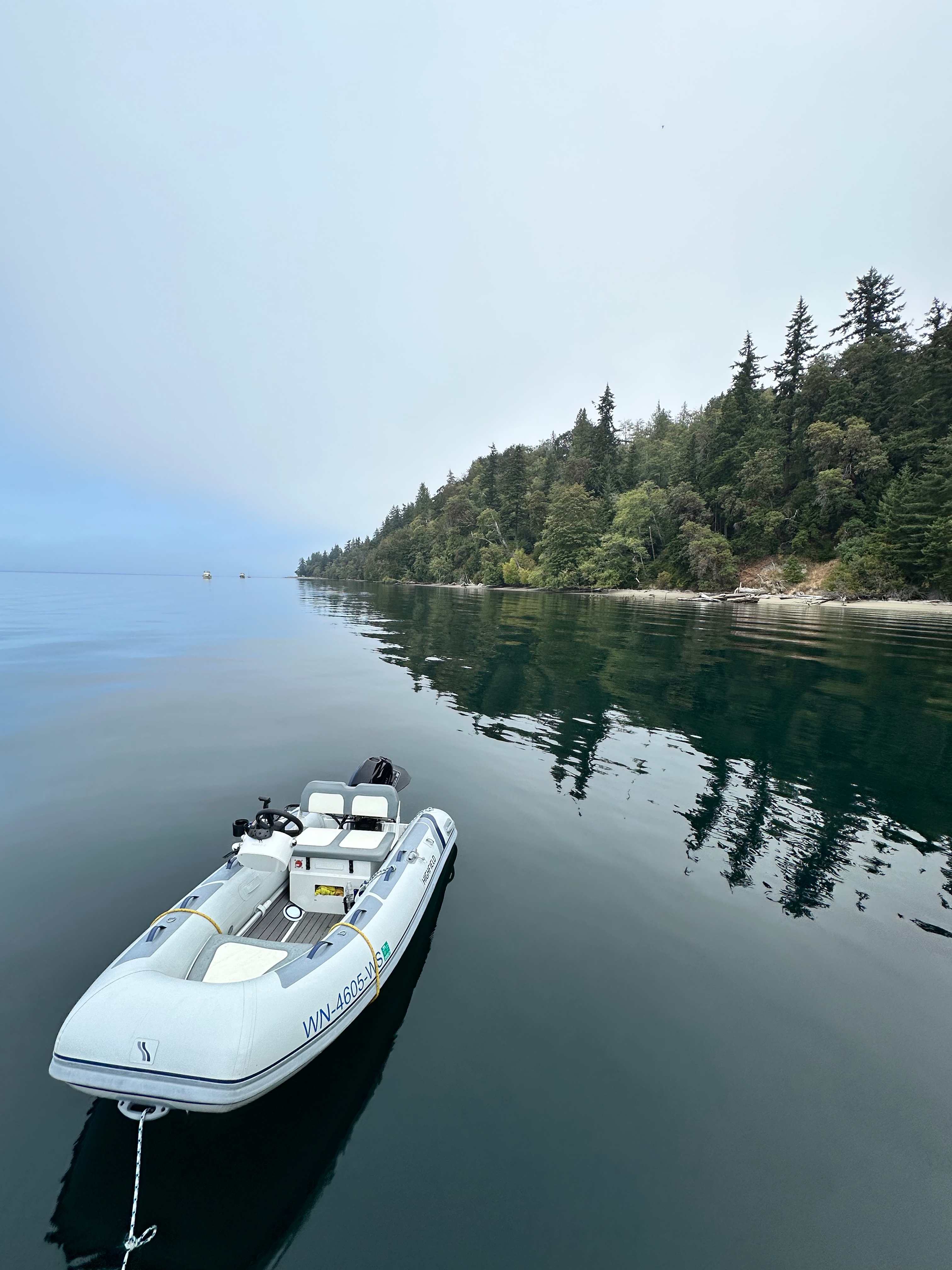
A few relaxed moments from Roche Harbor — dinghy rides with Shadow and a good meal aboard.
Nanaimo — Penny's Palapa
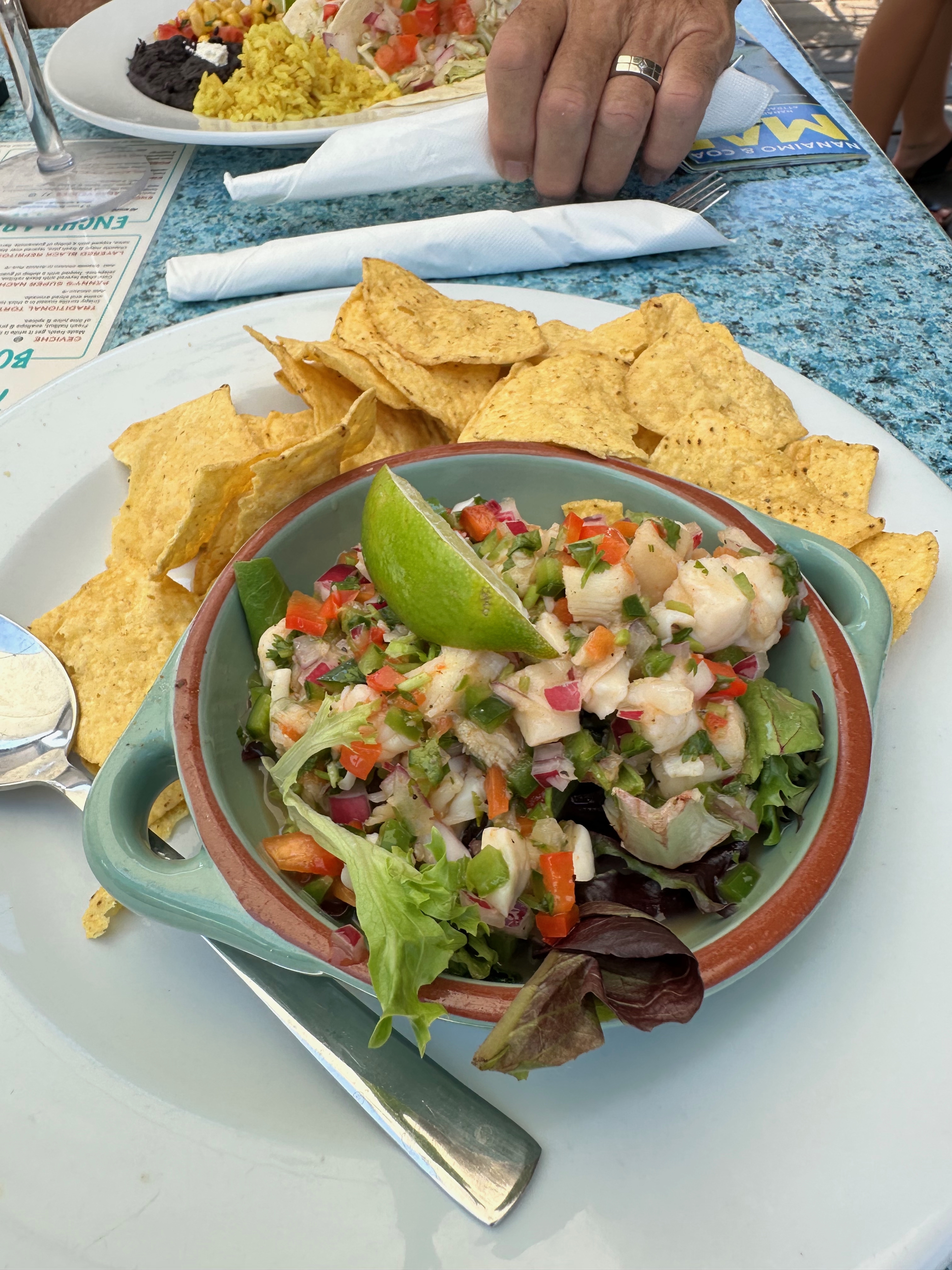
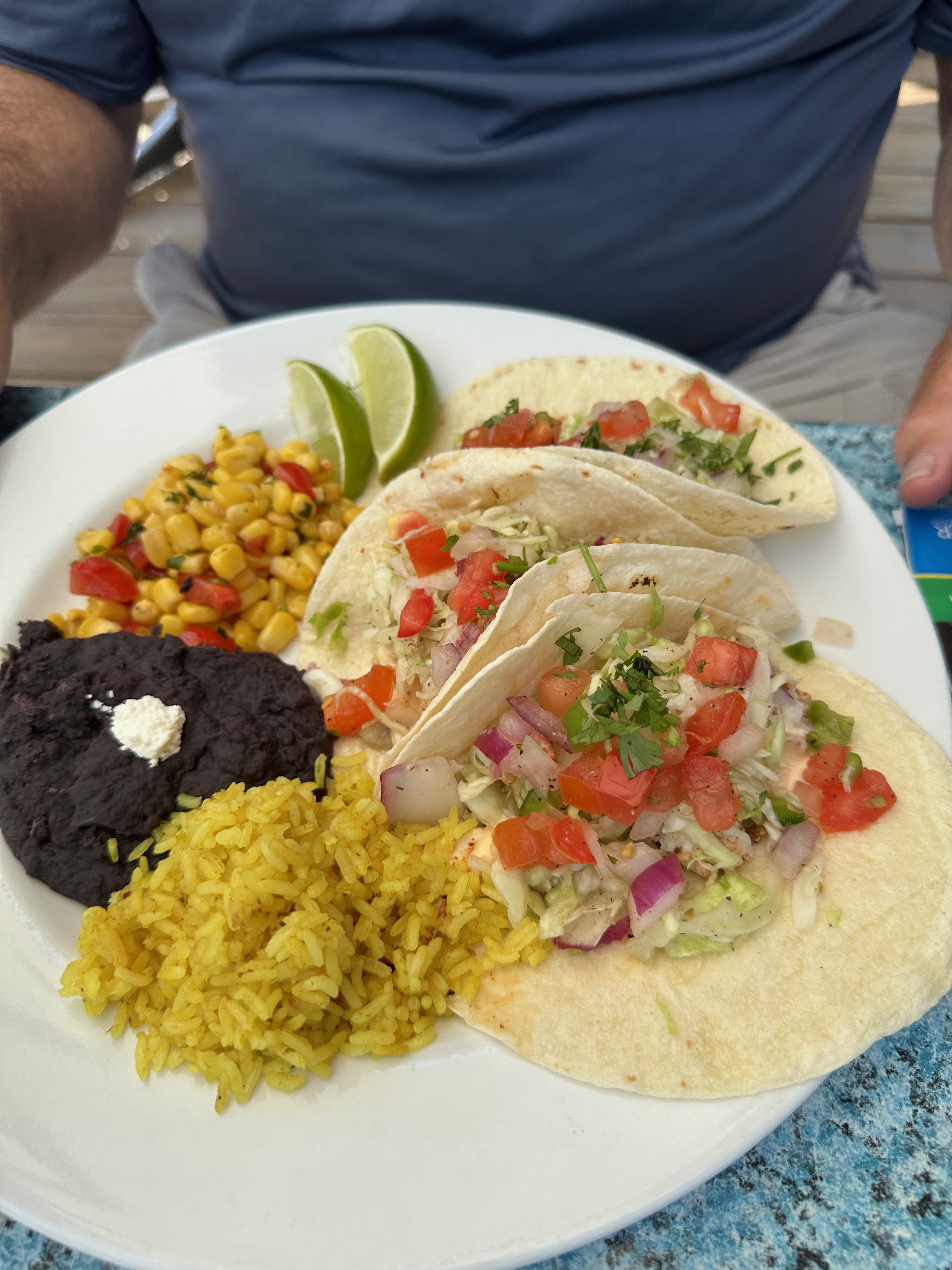
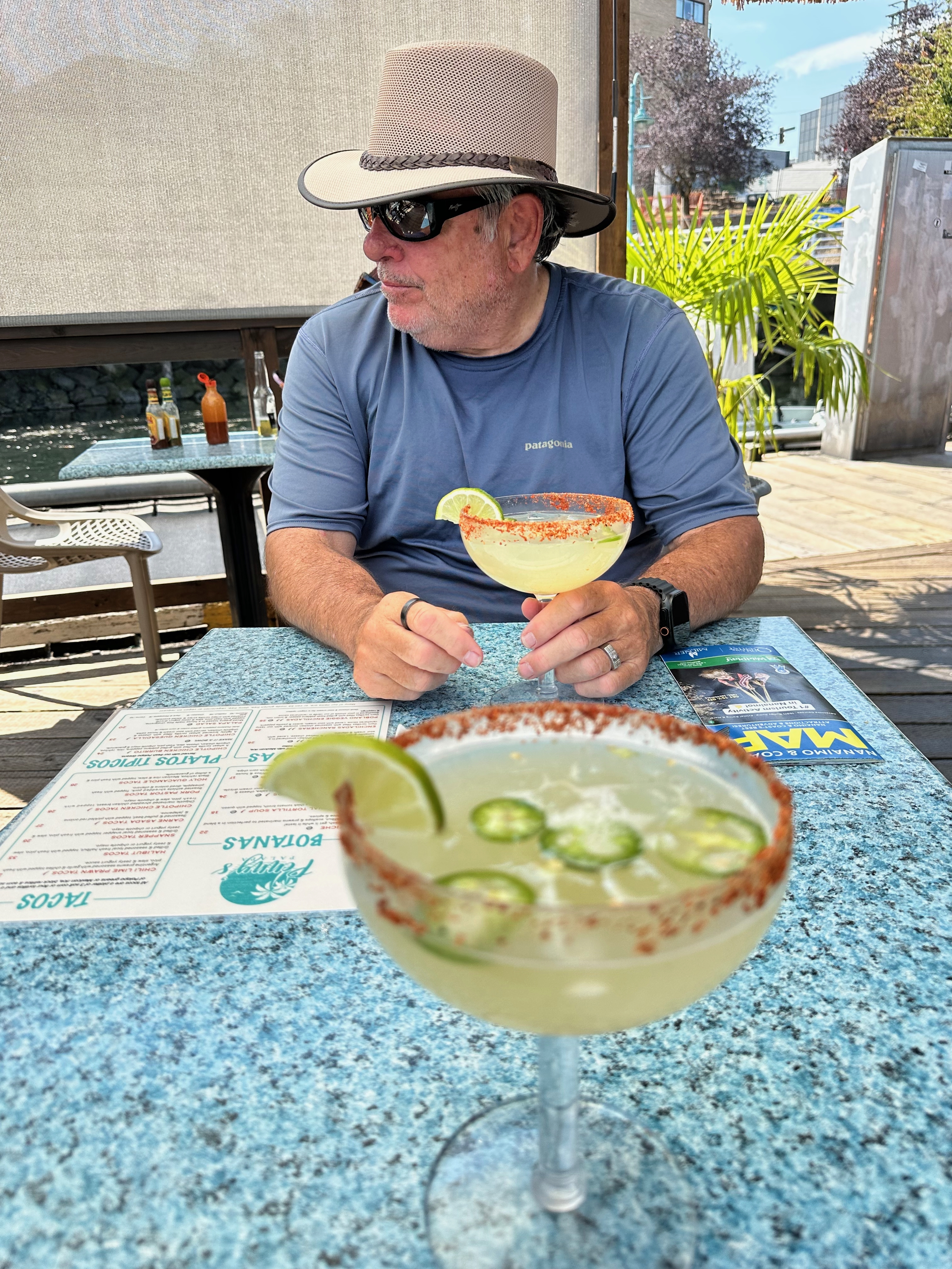
Our favorite memory of Nanaimo was eating at Penny's Palapa, the floating Mexican restaurant. Sitting right on the water made the meal feel like part of the cruise itself — a memorable stop for ceviche, fish tacos and margaritas during our time in Nanaimo.
Port Ludlow & Blake Island
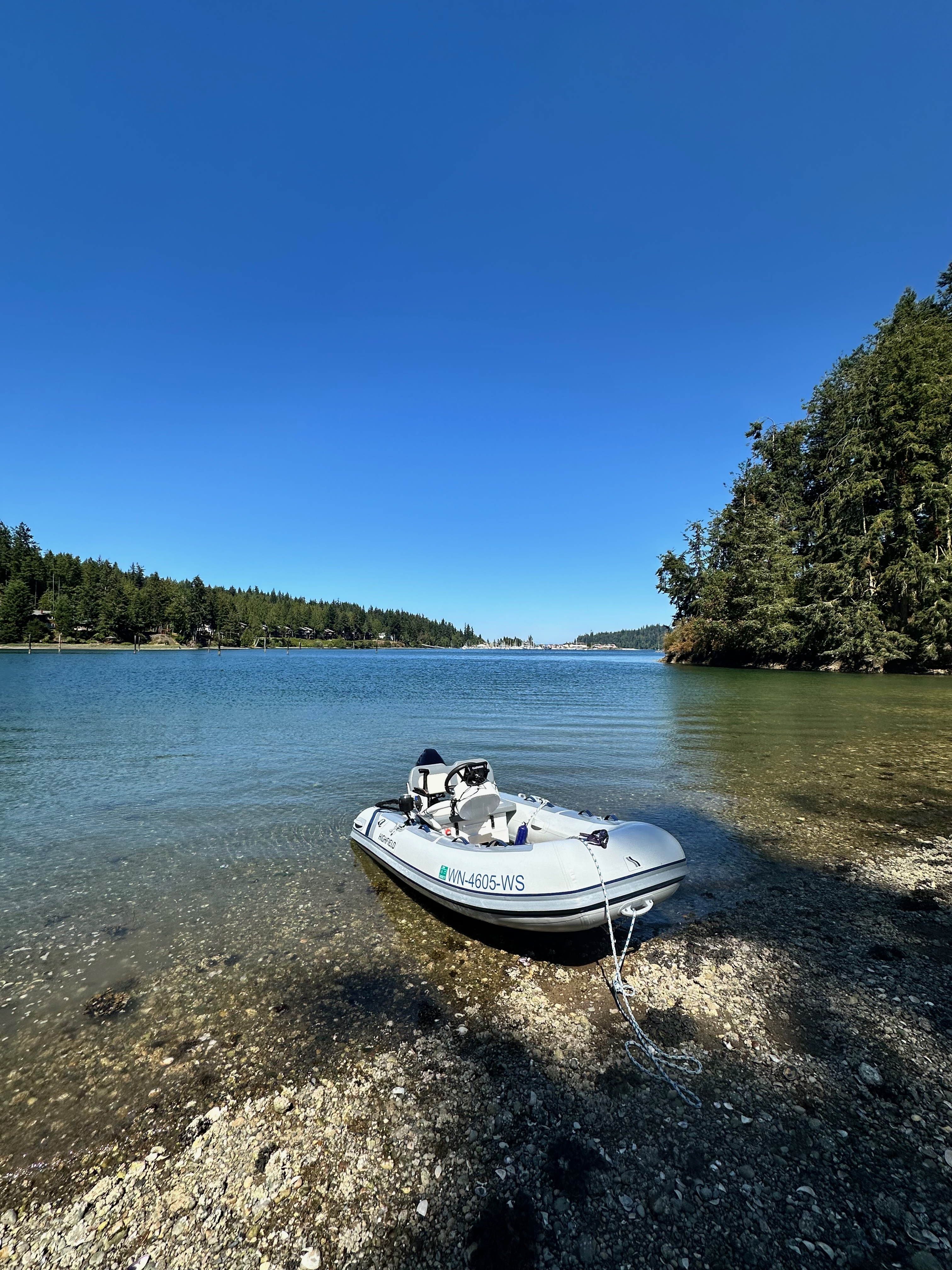
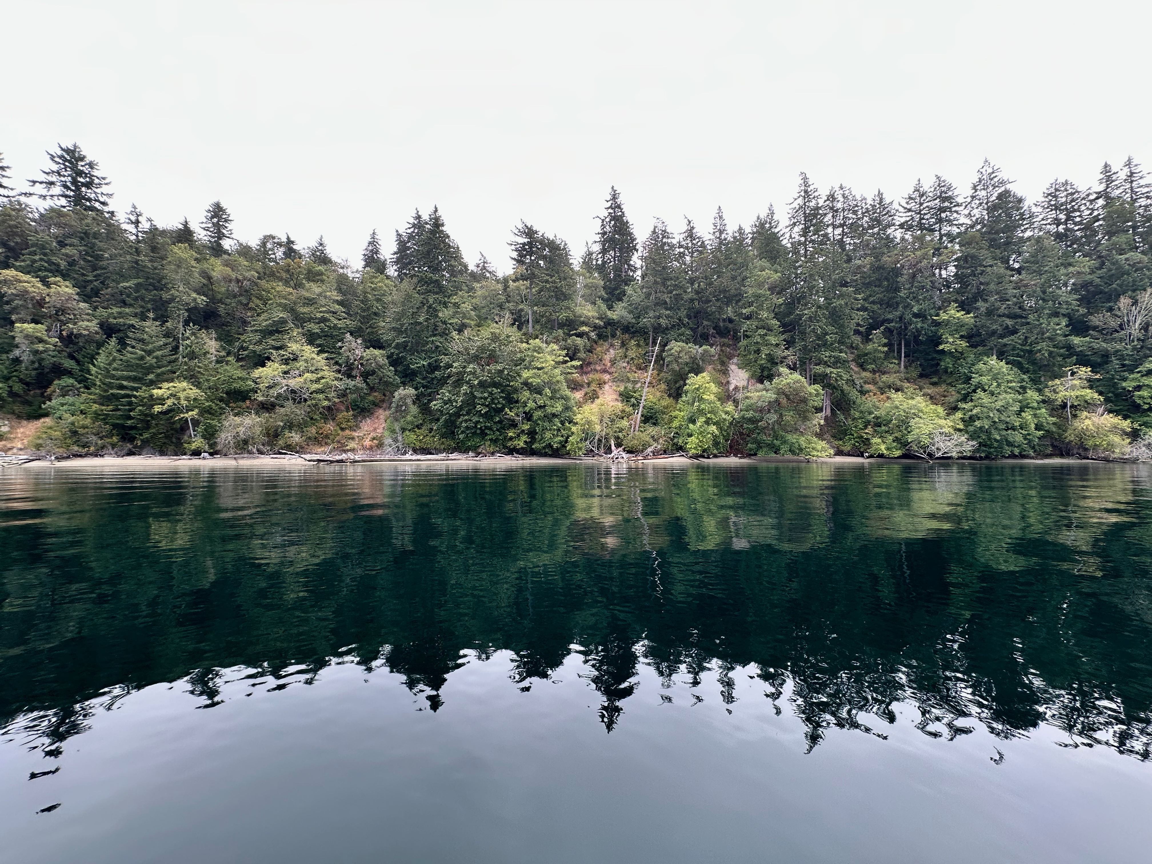
Quiet shoreline scenes from the final southbound portion of the cruise.
Life Aboard — Homemade Kimchi
Cruising food was part of the story too, including homemade kimchi prepared aboard.

More Voyage Moments
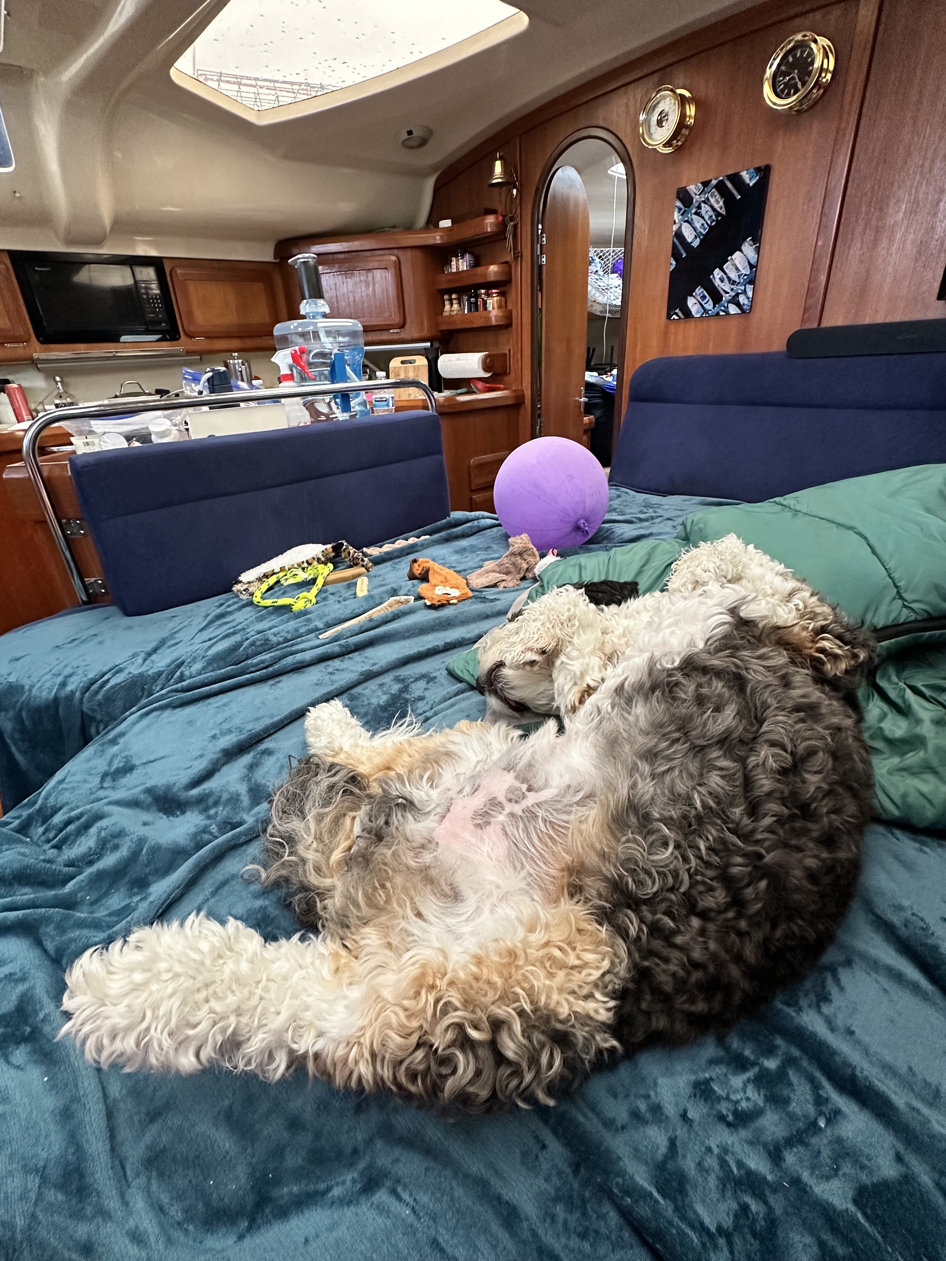
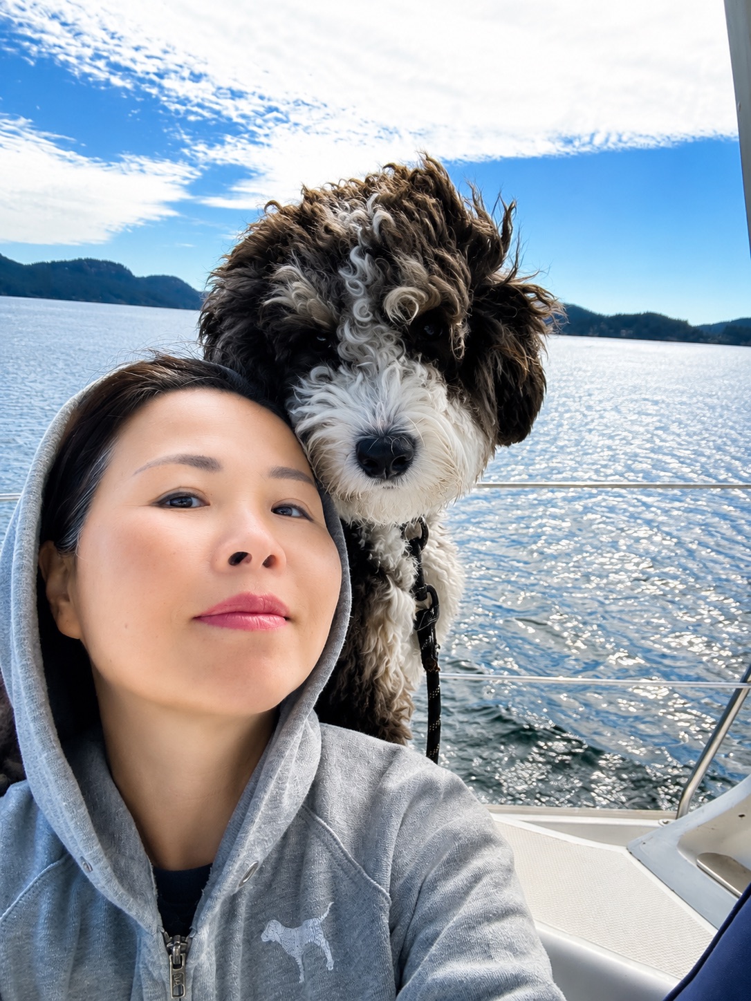
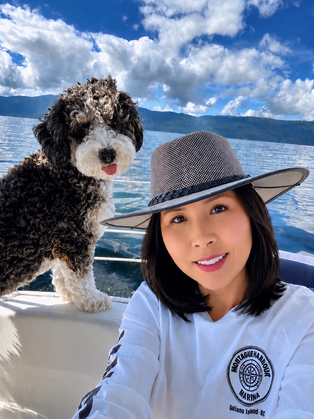
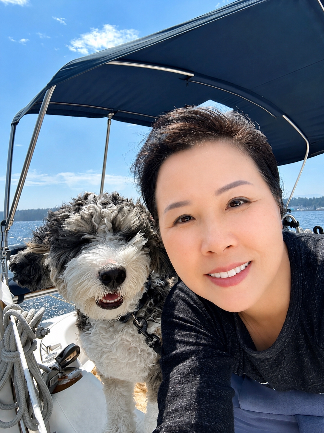
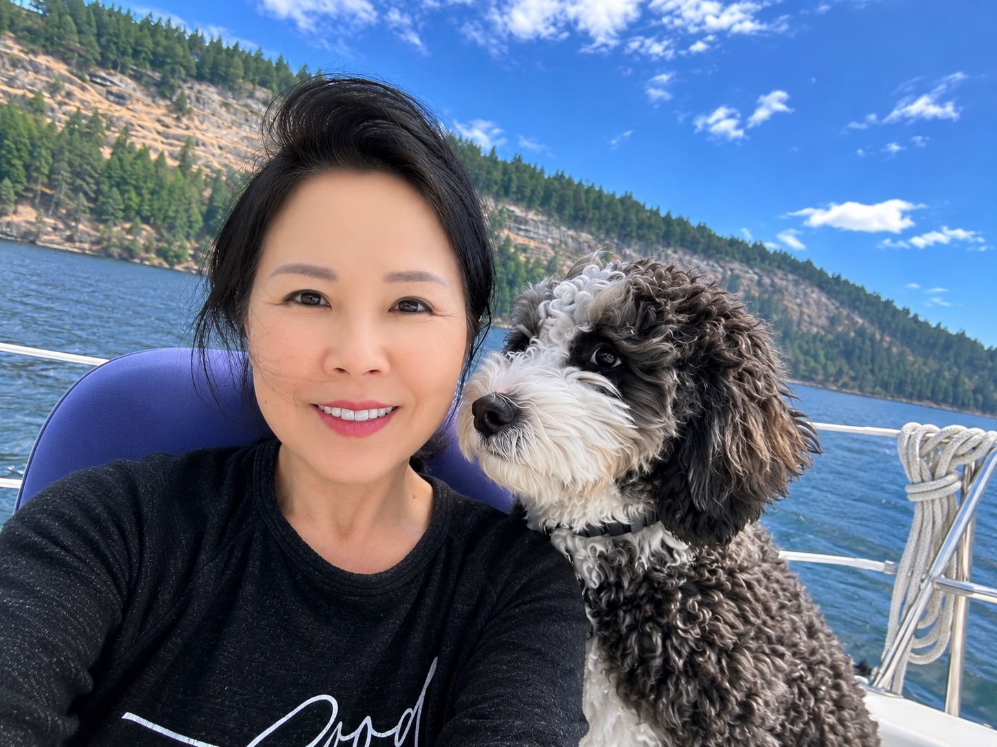
A few more scenes from the five-week cruise — passages, working-waterfront traffic, and life aboard Oceanus.
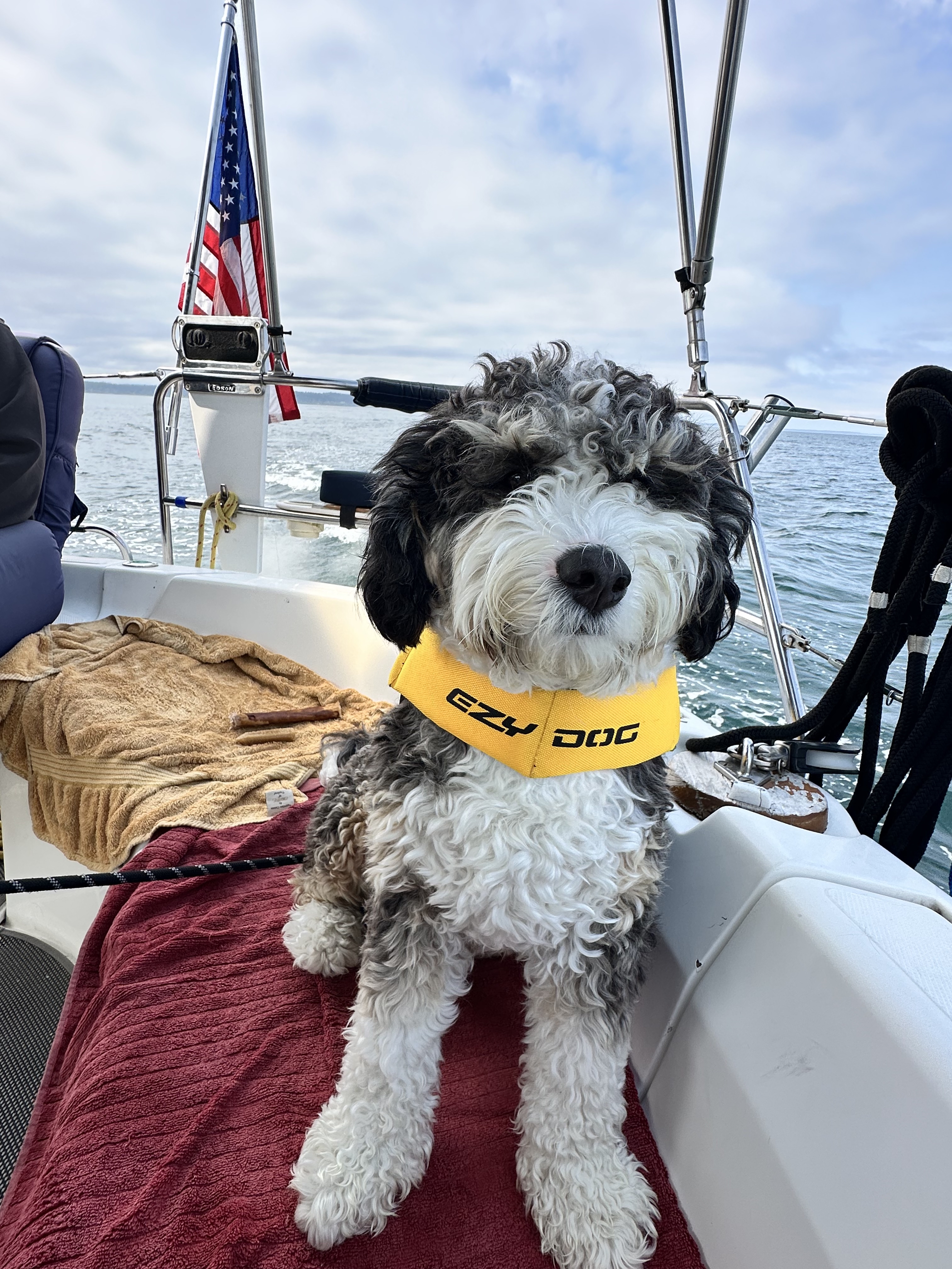
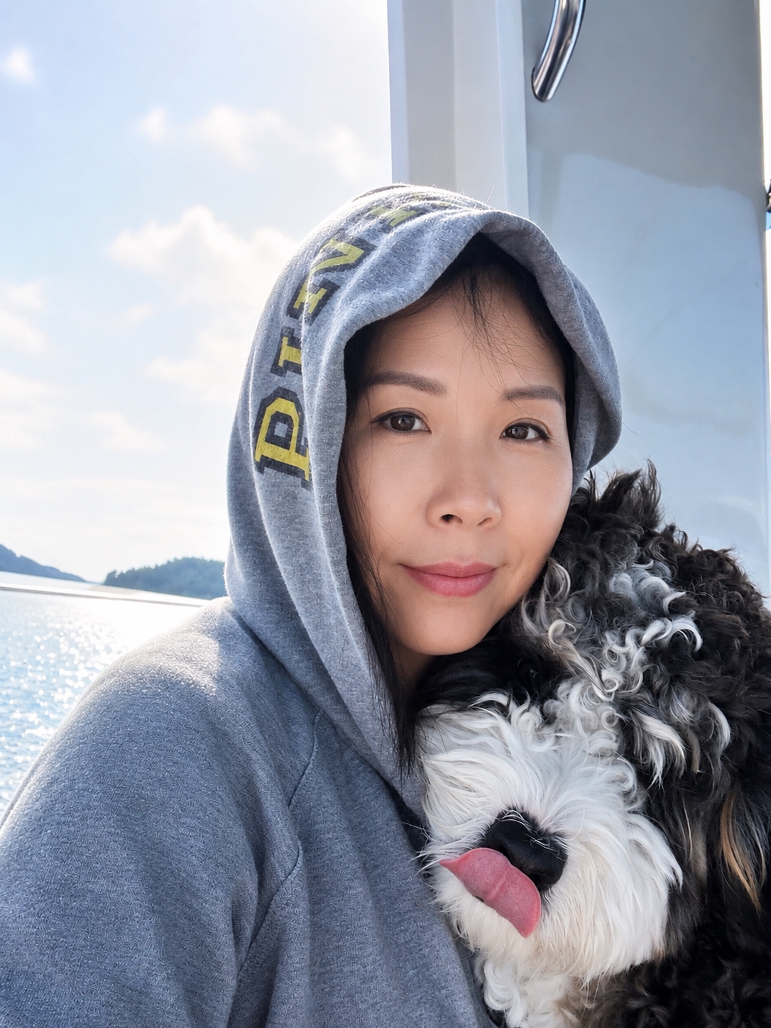
Home Again — Gig Harbor
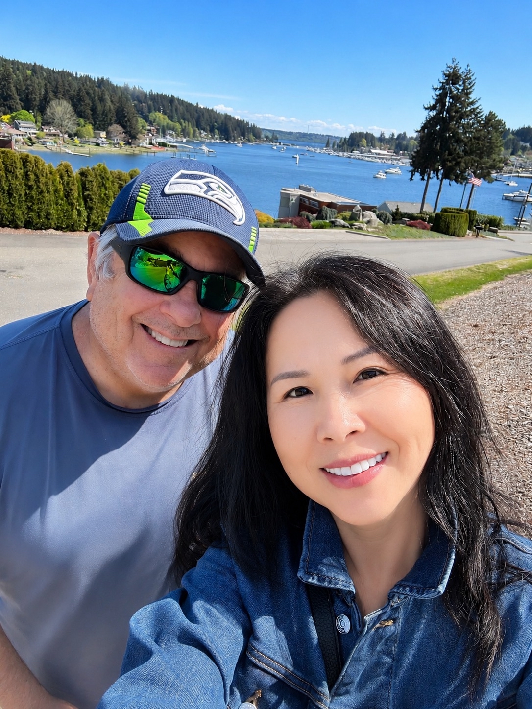
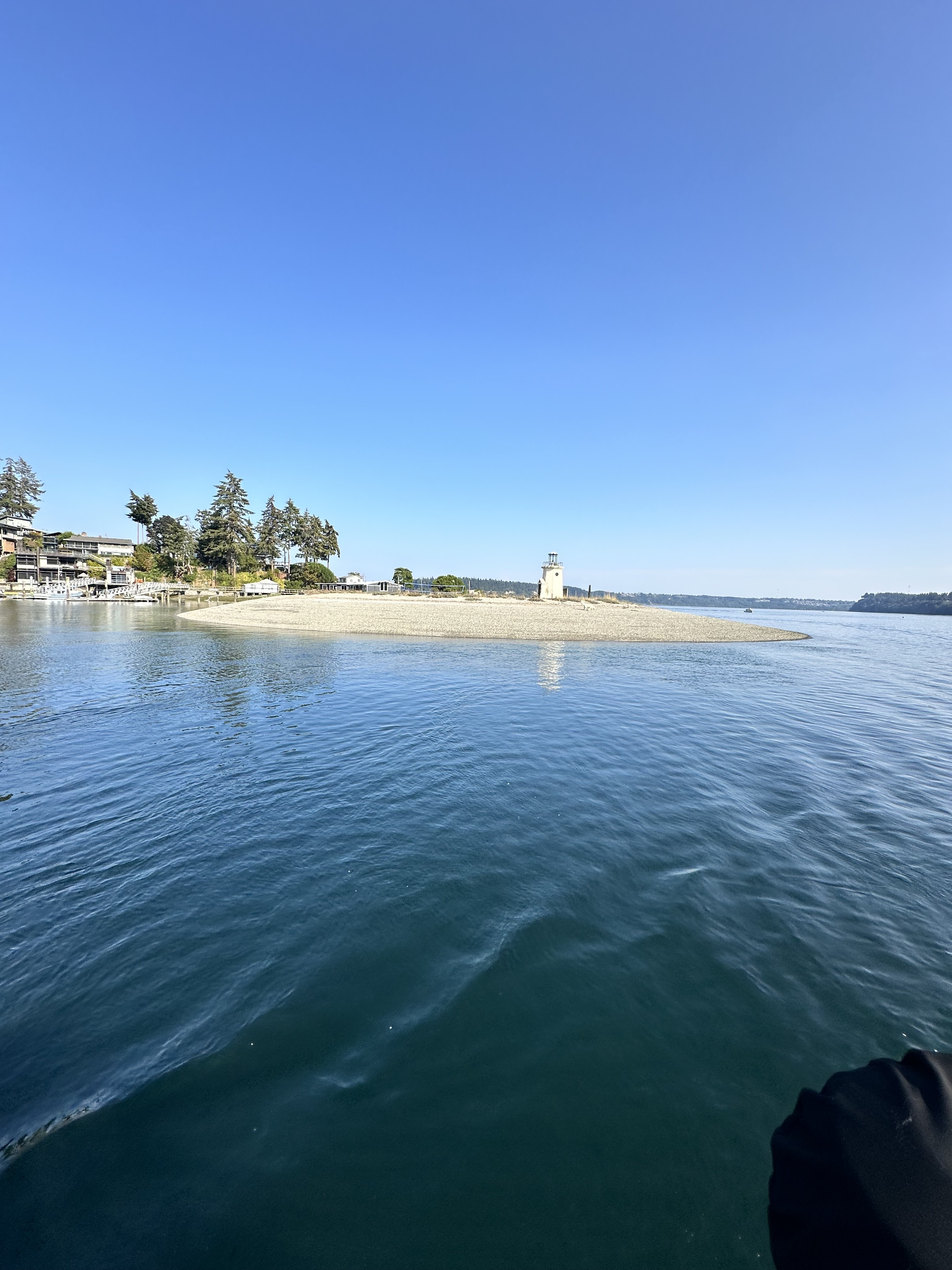
After five weeks aboard Oceanus, the familiar entrance to Gig Harbor came back into view — the perfect ending to an unforgettable summer cruise.
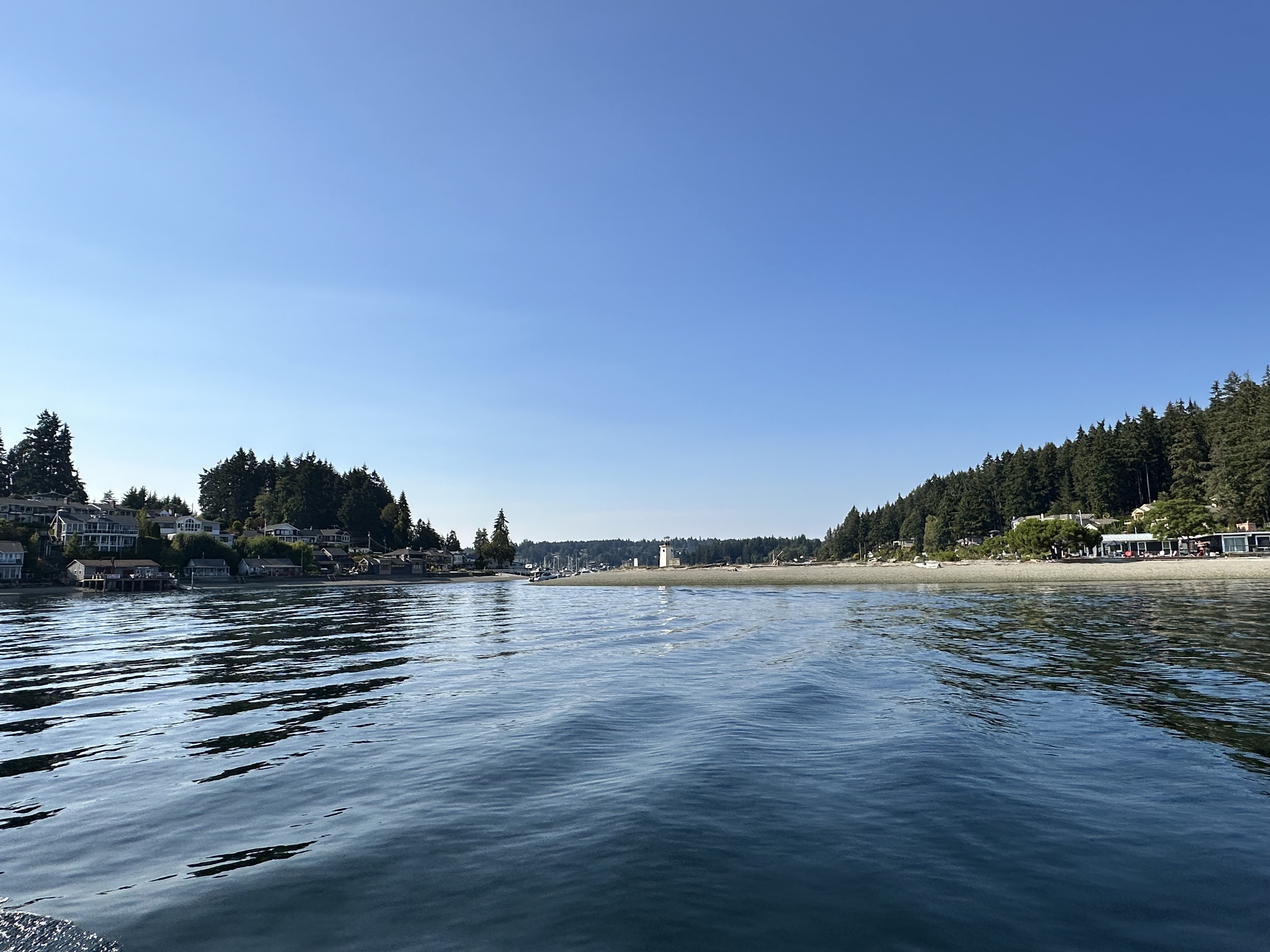
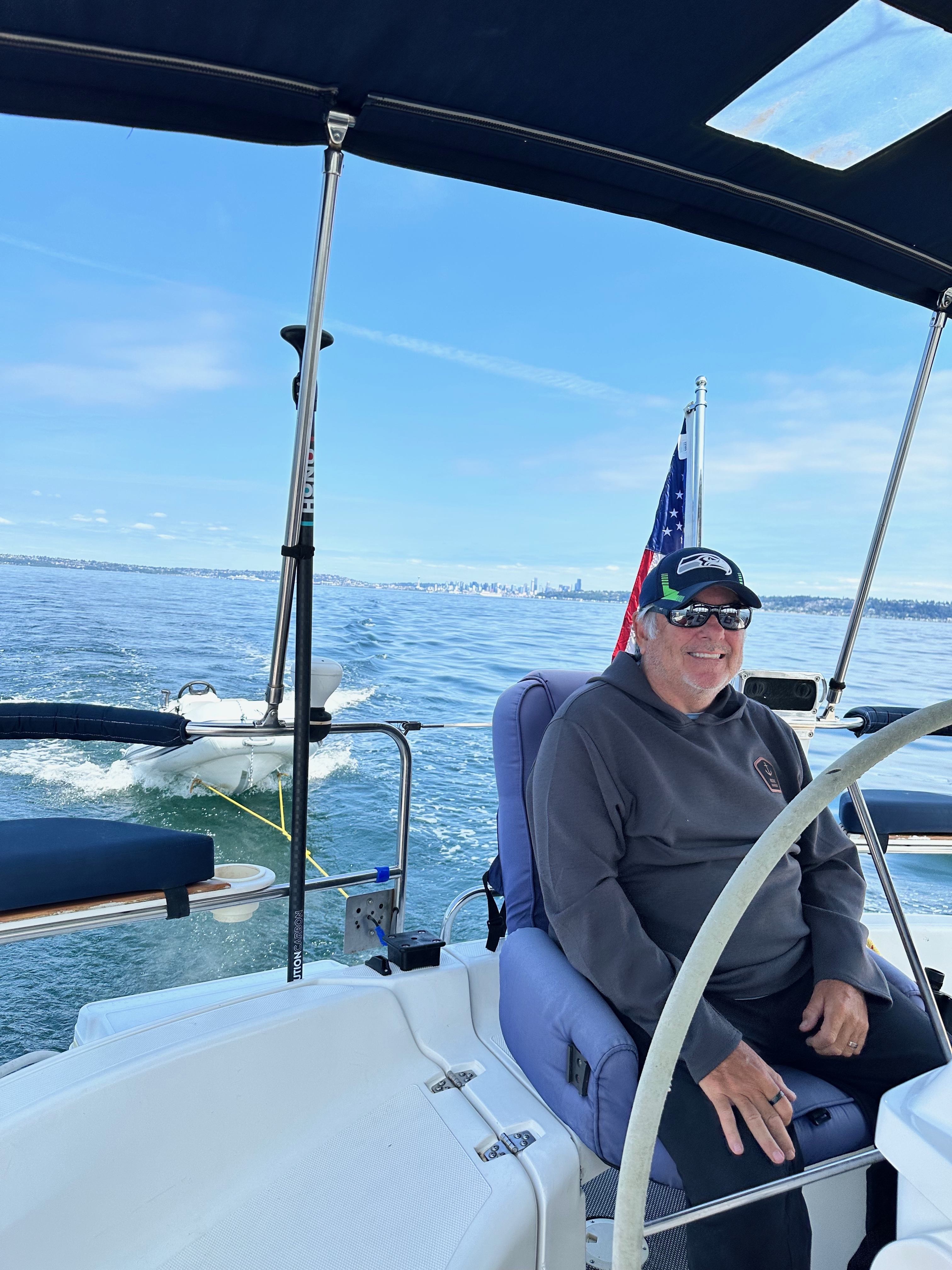
🐕 From Sailing Companion to Great Boat Dog
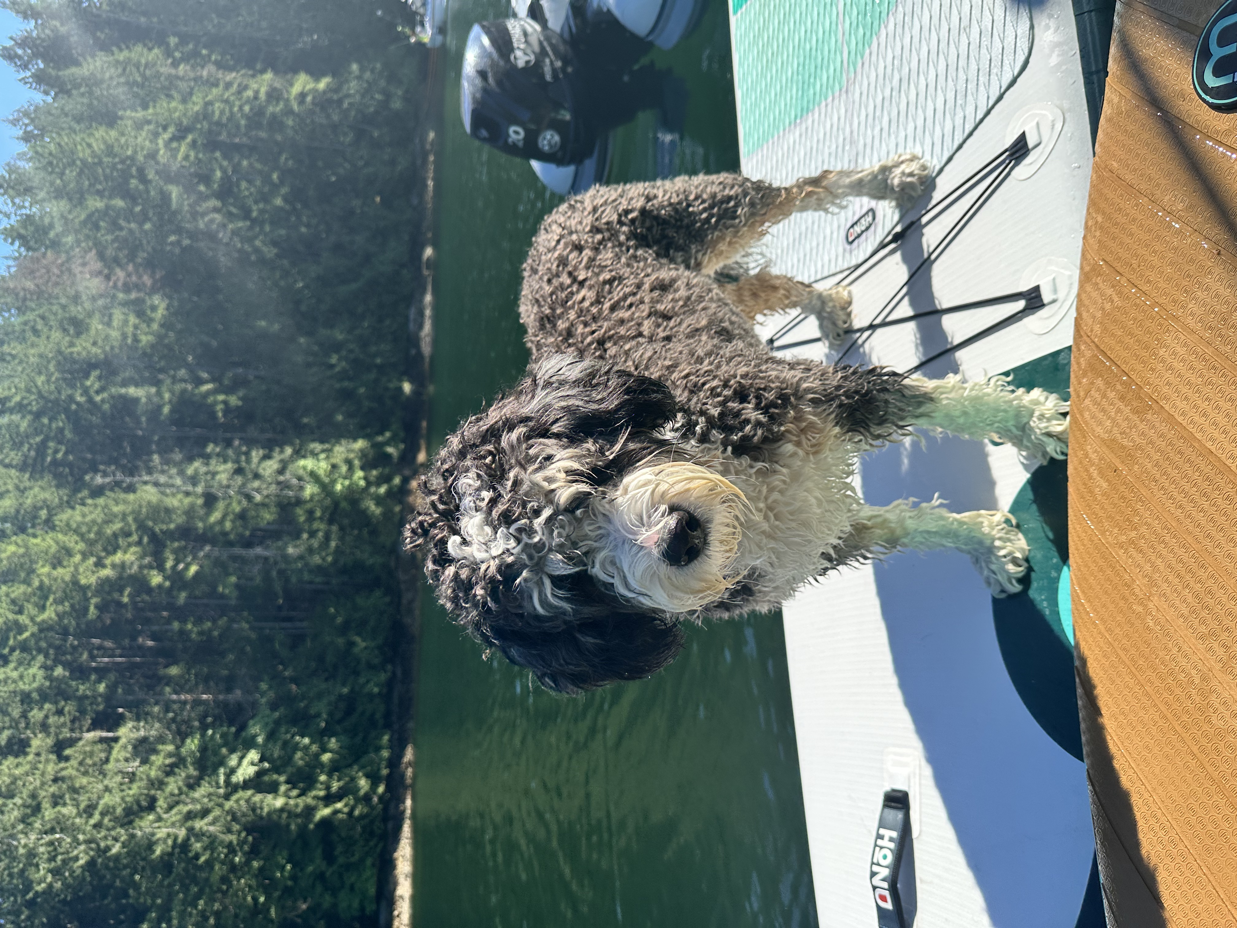
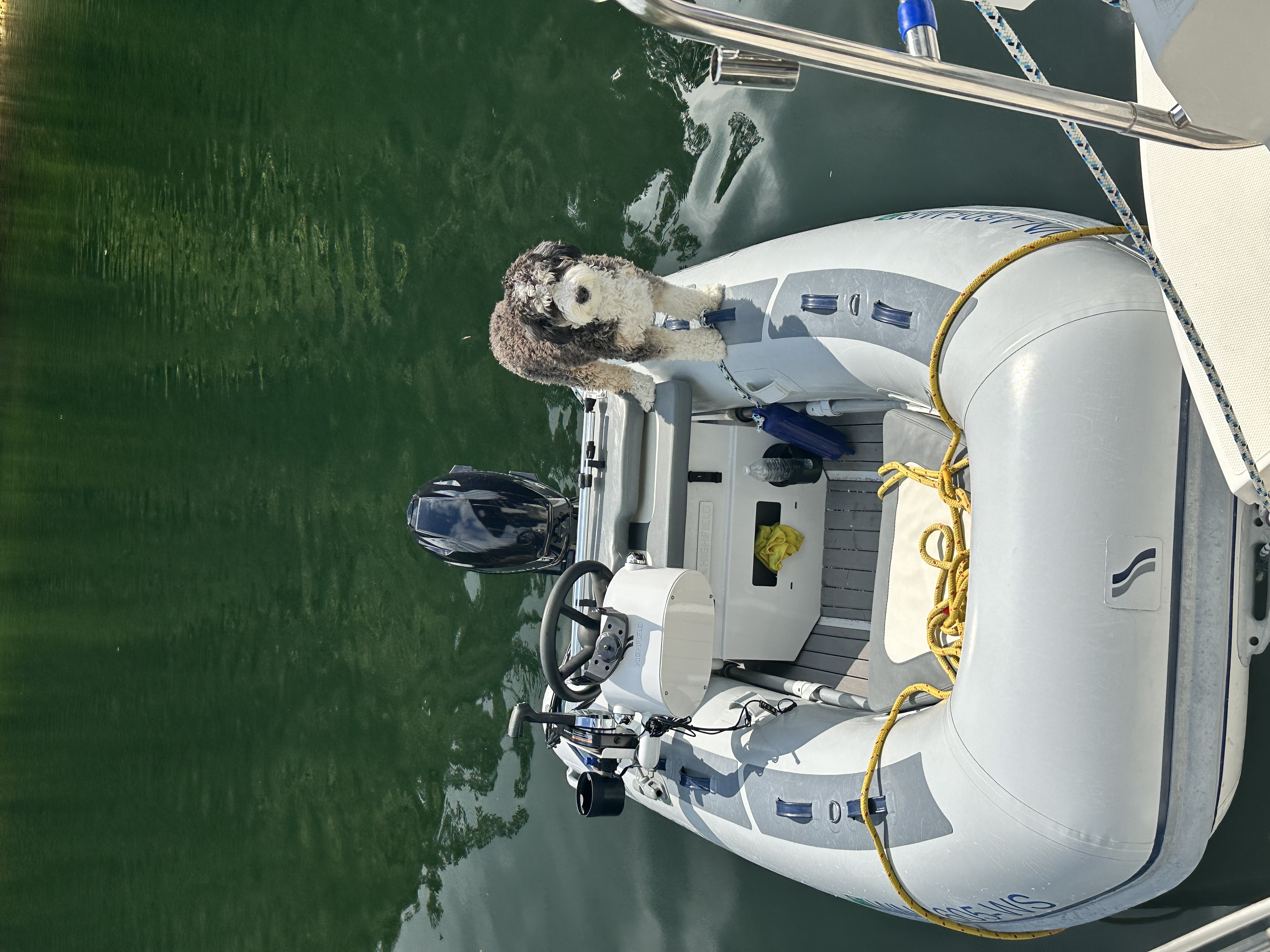
- Over the five-week cruise, Shadow became increasingly comfortable and confident aboard Oceanus.
- While underway, he was especially comfortable wearing his life jacket. He settled down, rested during passages, and was very well behaved.
- At anchor, Shadow learned to swim and did great. By the end of the trip he had become a very good, confident swimmer.
- He discovered that he loves the water, beach time, and especially dinghy rides.
- Montague Harbour North and Melanie Cove gave him some wonderful opportunities to enjoy the beach and water.
- This cruise confirmed it: Shadow is turning into a great boat dog.
🌊 Orcas & Humpback Whale
- During the five-week voyage, we encountered two pods of orcas.
- We also saw a humpback whale during the trip.
- These encounters became some of the unforgettable wildlife moments of the 492-nautical-mile cruise through the Salish Sea and British Columbia waters.
Of roughly 35 nights away, only five nights were spent at a dock: one night at Roche Harbor northbound, one night at Roche Harbor southbound, two nights at Nanaimo, and one night at Kingston. The remainder of the cruise was spent at anchor. That made anchoring — rather than marina hopping — one of the defining features of the voyage.
Planned vs. Actual
| Original Plan | Actual Cruise | |
|---|---|---|
| Duration | 32 days | 5 weeks |
| Mileage | ~415 nm | 492 nm |
| Difference | — | +77 nm / ~19% |
| Dock nights | Not a defining metric | 5 nights |
| Route character | Schedule-driven plan | Weather-driven, mostly anchored |
5 dock nights (Roche Harbor 1+1 · Nanaimo 2 · Kingston 1) · ~30 nights at anchor · 2 international border crossings
Favorite beach stops: Spencer Spit, Reid Harbor/Gossip Island, Montague Harbour North & Melanie Cove
Signature anchorage: deep inside Melanie Cove, directly across from the beach
San Juan highlight: Dungeness crab at Spencer Spit & a secluded Gossip Island anchorage
Wildlife: two pods of orcas & a humpback whale
Shadow: confident swimmer, dinghy enthusiast & great boat dog
AI Planning Conversation Summary
Overview
The trip. A multi-week cruise aboard a sailboat (not a powerboat), roughly 6 knots of boat speed without current assist, towing a dinghy the whole trip and with a dog aboard. The route ran from Gig Harbor, WA, north through Puget Sound and the San Juan Islands, across the border into BC at Sidney/Van Isle Marina, through the Gulf Islands (Montague Harbour), north via Nanaimo/Newcastle Island toward the Sunshine Coast (Pender Harbour), and on to Desolation Sound (Refuge Cove, Squirrel Cove, with Melanie Cove/Prideaux Haven as the turnaround point), before starting the trip back south.
How the planning worked. For nearly every leg, a downloadable HTML "skipper's briefing" was produced covering wind forecasts (Environment Canada and NWS marine zones), tidal current tables (Dodd Narrows, Haro Strait/Kellett Bluff, Point Wilson/Admiralty Inlet), routing notes, and known hazards — most notably the Whiskey Golf (CFMETR) torpedo test range near Nanoose Bay, which required either live status checks or a routing detour. Nearly every departure got at least one "go/no-go" re-check against fresh forecasts, live lightstation/buoy readings, and the user's own apps (PredictWind, Windy, Windy.app, Navionics) before casting off.
Recurring themes. Weather models frequently disagreed with each other and with what conditions actually looked like at anchor, which led to a repeated practice of leaning on live lightstation reports (Merry Island, Chrome Island) as the tie-breaker. Tidal current tables for Dodd Narrows were read directly off photographed CHS printed pages after PDF/automated extraction repeatedly failed. Two routing corrections were made mid-trip after the user caught errors (see Corrections below). Anchorage choices were adjusted in real time based on actual holding conditions (Refuge Cove turned out to be rock-bottom/dock-only, prompting a move to Squirrel Cove).
Route & Leg-by-Leg Summary
Leg 1 — Gig Harbor → Port Ludlow Tue 7/14, 0600 departure
- First skipper's briefing requested and delivered as a downloadable HTML file — wind (NWS PZZ134/PZZ135) and Tacoma Narrows/Foulweather Bluff current notes.
- Established the HTML template (styled document with wind box, tide table, hazards, source links) reused for every subsequent briefing.
Leg 2 — Port Ludlow → Spencer Spit 0900 PST departure, later revised
- Briefing built, then rebuilt after the user asked to time departure to hit Point Wilson near slack water — timeline and current-window language updated accordingly.
- Standalone multi-day Point Wilson slack-water reference table produced separately (Jul 12–18), extrapolated from Foulweather Bluff data with confirmed vs. extrapolated rows flagged.
San Juan Islands / Sidney, BC area — planning & provisioning
- Researched anchorages near Sidney BC (north of Sidney, Princess Bay area) and Montague Harbour, including holding/anchoring notes.
- Given the user's stated difficulty walking long distances, liquor-store provisioning near Sidney was researched with taxi/call-ahead recommendations rather than a walking plan (Thrifty Foods Sidney link provided).
Border crossing — Roche Harbor → Van Isle Marina → Montague Harbour Mon 7/20
- Full briefing built: Haro Strait/Kellett Bluff current table, CBSA phone-reporting procedure (verbal declaration, no forms, dedicated phone at the Van Isle fuel dock), personal exemption limits for alcohol, cooked-meat import question answered, Swartz Bay ferry-traffic hazard noted.
- Multiple live re-checks of Haro Strait conditions the morning of the crossing before departure.
- Later editions added a Van Isle Marina slip-reservation box (phone, Dockwa link) and the mobility-related provisioning note.
Newcastle Island → Pender Harbour Whiskey Golf transit
- Whiskey Golf (CFMETR) hazard researched in depth: transit-corridor coordinates, contact numbers, and the distinction between the next-day-only phone line (1-888-221-1011) versus same-day status (VHF 10 / 250-468-5080) — corrected mid-conversation after the user asked "how early can I call."
- Forecast for this crossing deteriorated intraday (calm morning outlook → Strong Wind Warning appearing between AM/PM bulletins), prompting a same-day "leave early" revision to the briefing with a new timeline.
- An alternate northern routing (Newcastle Island → Hornby Island Tribune Bay → Savary Island → Lund → Prideaux Haven) was also drafted, explicitly avoiding Whiskey Golf, for use if the range status was unfavorable.
- Whiskey Golf was ultimately confirmed (by phone) to be in its summer shutdown until August 11 — removing the hazard for that window.
Correction — Reid Harbor → Van Isle Marina
- Briefing initially routed the departure past Turn Point; the user corrected this ("when you leave Reid Harbor you do not go by turn point"). Route was verified and rewritten to the correct Boundary Pass / New Channel / Spieden Channel path, with a footer note documenting the fix.
Dodd Narrows — current table reading (Jul 22 and early Aug)
- Automated PDF extraction of the official CHS current tables repeatedly failed past a page limit, and third-party XTide mirrors were blocked to automated fetch. The user photographed/pasted the printed table pages directly.
- July 22 slack times derived as 0541 and 1204 PDT, later confirmed against Navionics.
- An early-August read (Sunday Aug 9) initially misaligned rows and had to be redone from a fuller pasted table, correcting to 0721 and 1441 PDT.
- The attached CHS 2026 table (Jul–Sep columns) is the same reference document used for these lookups.
Pender Harbour → Desolation Sound leg plan revised repeatedly
- Initial plan split the leg with an intermediate stop (Savary Island / Powell River) to keep daily travel under 6 hours, per the user's stated preference.
- Jedediah Island / Boho Bay explored as an anchorage option; corrected after research showed Boho Bay is actually on neighboring Lasqueti Island, not Jedediah — Deep Bay (north end of Jedediah) was substituted.
- Grace Harbour was initially framed as a midpoint stop, then corrected — it sits close to Refuge Cove, not roughly midway from Pender Harbour, so it was reframed as a side-trip rather than an en-route stop.
- In the end, the user departed Pender Harbour and ran directly to Refuge Cove in one push, on the first favorable weather window, rather than using any of the discussed intermediate stops.
Desolation Sound — Refuge Cove / Squirrel Cove / Prideaux Haven
- On arrival, the anchor at Refuge Cove found rock bottom; research showed Refuge Cove is effectively dock-only rather than a true anchorage, so the user asked about tying to the fuel dock, found it full, and moved to Squirrel Cove (confirmed good mud holding).
- Other Desolation Sound topics covered along the way: nearby beaches at Refuge Cove, Paige Islets location, holding/anchoring quality at Prideaux Haven, jellyfish species present and sting severity, live wind/wave station availability for the northern Strait of Georgia, and boat-maintenance questions (adding anchor chain, splicing chain-to-chain).
- A slip reservation for Thursday, August 6, 2026 was confirmed for the Melanie Cove (Prideaux Haven) → Pender Harbour return leg.
Return leg planning — toward Nanaimo
- Weather comparisons run repeatedly (EC official text vs. Windy.app vs. PredictWind vs. GFS+) to pick the best return-crossing day, with the user consistently preferring some wind over dead calm to avoid an uncomfortable beam/quartering swell, and explicitly avoiding a headwind dead on the nose.
- Dodd Narrows slack times pulled again for the return transit window (Sunday in question), with a Navionics-vs-table discrepancy resolved once the fuller printed table was provided.
- As of the most recent check, the user was preparing final go/no-go weather and current checks ahead of the Nanaimo-bound leg.
Corrections Made During the Trip
Key Reference Sources Used Throughout
| Purpose | Source |
|---|---|
| Wind forecasts (US waters) | NWS marine zone forecasts (PZZ134, PZZ135, etc.) |
| Wind forecasts (Canadian waters) | Environment Canada marine zone forecasts (Strait of Georgia N/S of Nanaimo, Haro Strait, Juan de Fuca sub-zones, Northern Inland Waters) |
| Blended / model comparison | PredictWind (PWG/PWE), Windy, Windy.app, GFS, ECMWF, HRRR |
| Live wind observations | Merry Island and Chrome Island lightstation reports |
| Live buoy data | NDBC/EC buoys (46131 Sentry Shoal, and nearby Strait of Georgia buoys) |
| Tidal currents | CHS printed current tables (Dodd Narrows, Haro Strait/Kellett Bluff), cross-checked against Navionics |
| Military hazard status | CFMETR Whiskey Golf range — phone lines and VHF 10 (Winchelsea Island Control) |
| Customs/border | CBSA phone-reporting procedure and personal exemption limits |
Standing Preferences Noted Along the Way
- Sailboat, not powerboat — roughly 6 kt boat speed without current, towing a dinghy this trip.
- Some wind is preferred over dead calm, to help power through swell rather than wallow; a headwind dead on the nose is specifically avoided.
- Anchoring is preferred over marina moorage whenever a real anchor-out option exists.
- Daily travel time kept under roughly 6 hours per leg where possible.
- A drier trip overall was preferred — occasional showers acceptable, steady/constant rain was not, partly due to a dog aboard without foulies.
- Preference to leave Pender Harbour by about 10am regardless of day.
- Confirmed marina reservation: Thursday, August 6, 2026, for the Melanie Cove (Prideaux Haven) → Pender Harbour leg.
Voyage Map — Animated Route
Watch Oceanus travel from Gig Harbor to Desolation Sound and home, stop by stop. Route between stops is approximate. (Requires an internet connection for map tiles.)